Ship navigation in Canada's Arctic will change with 1, 2, and 4°C of warming
New estimates reveal how rising temperatures and thinning sea ice have implications on the navigability of Arctic waters.
To really appreciate the expanse of ice coverage in the Canadian subarctic is to be above this vast seascape where irregular shapes of frozen water fit together like a puzzle, only to swiftly break up each season as the temperature warms.
In fact, in the Far North, the icy realm looks more like a white tablecloth for as far as you can see. Indeed, usually it stays this way, ebbing and flowing over the course of the year, but always permanent in some parts — or at least that has been the pattern up to now. Only a few years ago, I stood on a chilled-solid Northwest Passage with my guide James "Jimmy" Haniliak, a 63-year-old Inuk who was born in an igloo near Bathurst Inlet, and wondered how a large boat could ever pass through this terrain safely.

James "Jimmy" Haniliak, a 63 year old Inuk born in an igloo near Bathurst Inlet. (Neil Ever Osborne)
But a new report from Environment and Climate Change Canada (ECCC) is shedding insights on what marine navigability could look like if our previously frozen Arctic opens up, a consequence of human-induced climate change taking a toll on this part of the planet at a greater rate than anywhere else.
Dr. Lawrence Mudryk, a research scientist with ECCC, who is particularly focused on the changing North, told The Weather Network, “the water will be reasonably open, it’s true, but in some regions there might still be drifting pieces of ice that people navigating the ships will have to contend with.” Mudryk added, “in a lot of cases they might be experienced navigating through ice-filled waters, but in some cases, if they’re private vessels or yachts that have come up from further south, they might not be.”
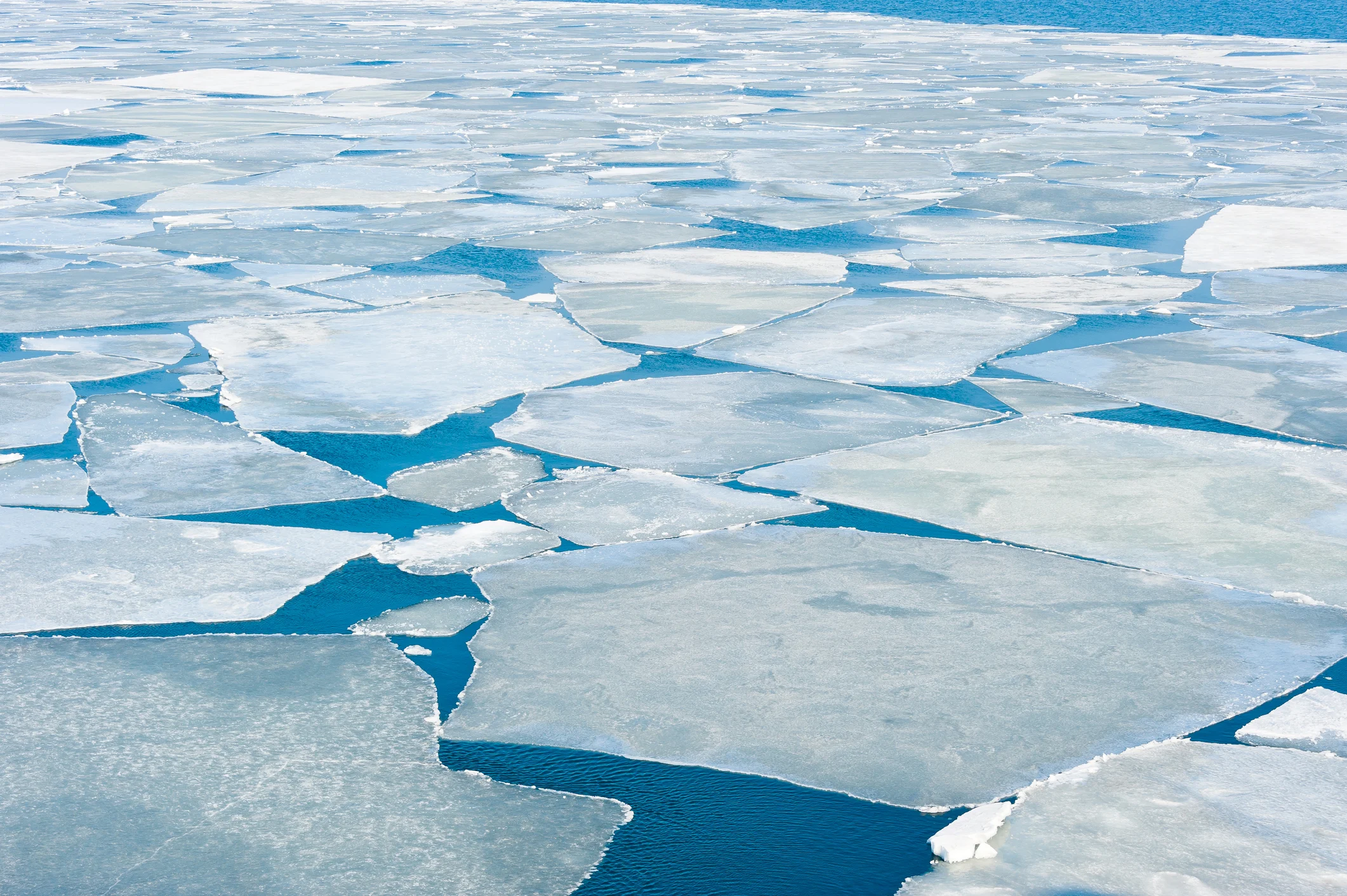
Breaking spring ice floe in the once-frozen sea. (tupikov. iStock / Getty Images Plus)
Mudryk and colleagues reported on this newfound navigability with intentions to keep individuals safe, but their main objective is to make this critical science available for broader planning since the opening of the Arctic seems inevitable now. For ECCC, environmental sustainability and Inuit governance will be top of mind.
The new report points to a more accessible Arctic that will affect trade and transportation for sure. Other specific topics include maritime disaster preparedness, food security, and economic development.
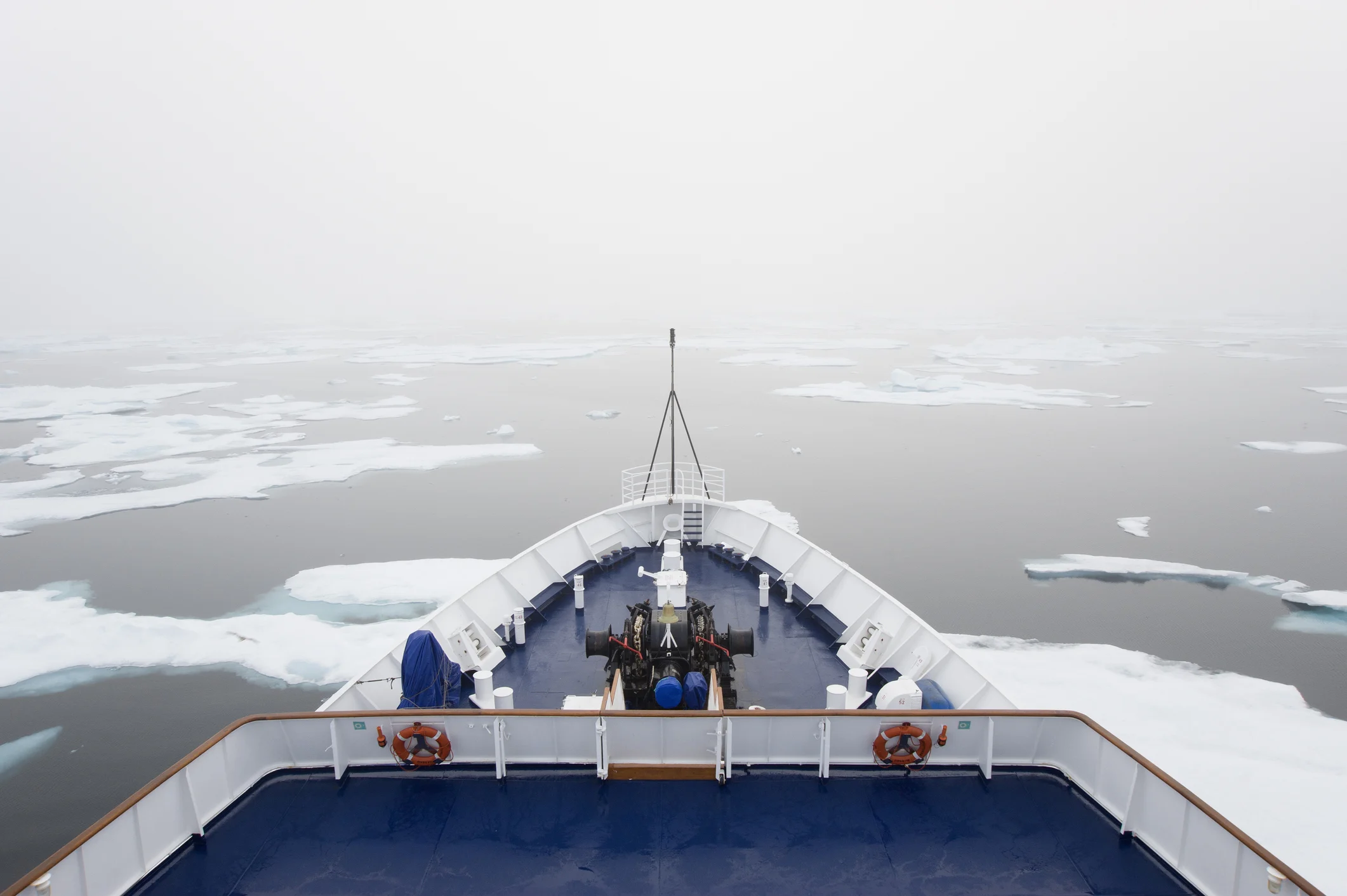
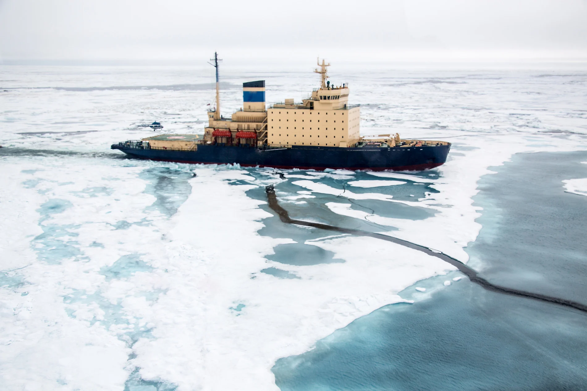
The view over the decks of a ship in the Canadian Arctic region, moving through ice floes. (Mint Images - David Schultz. Mint Images RF. Getty Images)
For example, shipping companies will gain from open waters, particularly if they’re willing to take more risks. Increased waterways could provide routes to resupply northern Canadian communities too, and if this happens more than once a year, it has significant implications on local health outcomes and reduces emissions since marine transportation can have a lower carbon footprint than air shipments. And, as economic development is concerned, a region like Tuktoyaktuk could become a busier trade and transportation corridor, which would require the construction of new interior roads.
With all this in mind, Mudryk says there are both positive and negative impacts to consider and all of these consequences need to be discussed because climate models are indicating that sea ice in the Canadian Arctic is rapidly declining—actually, the Arctic is warming twice as fast as we first thought.
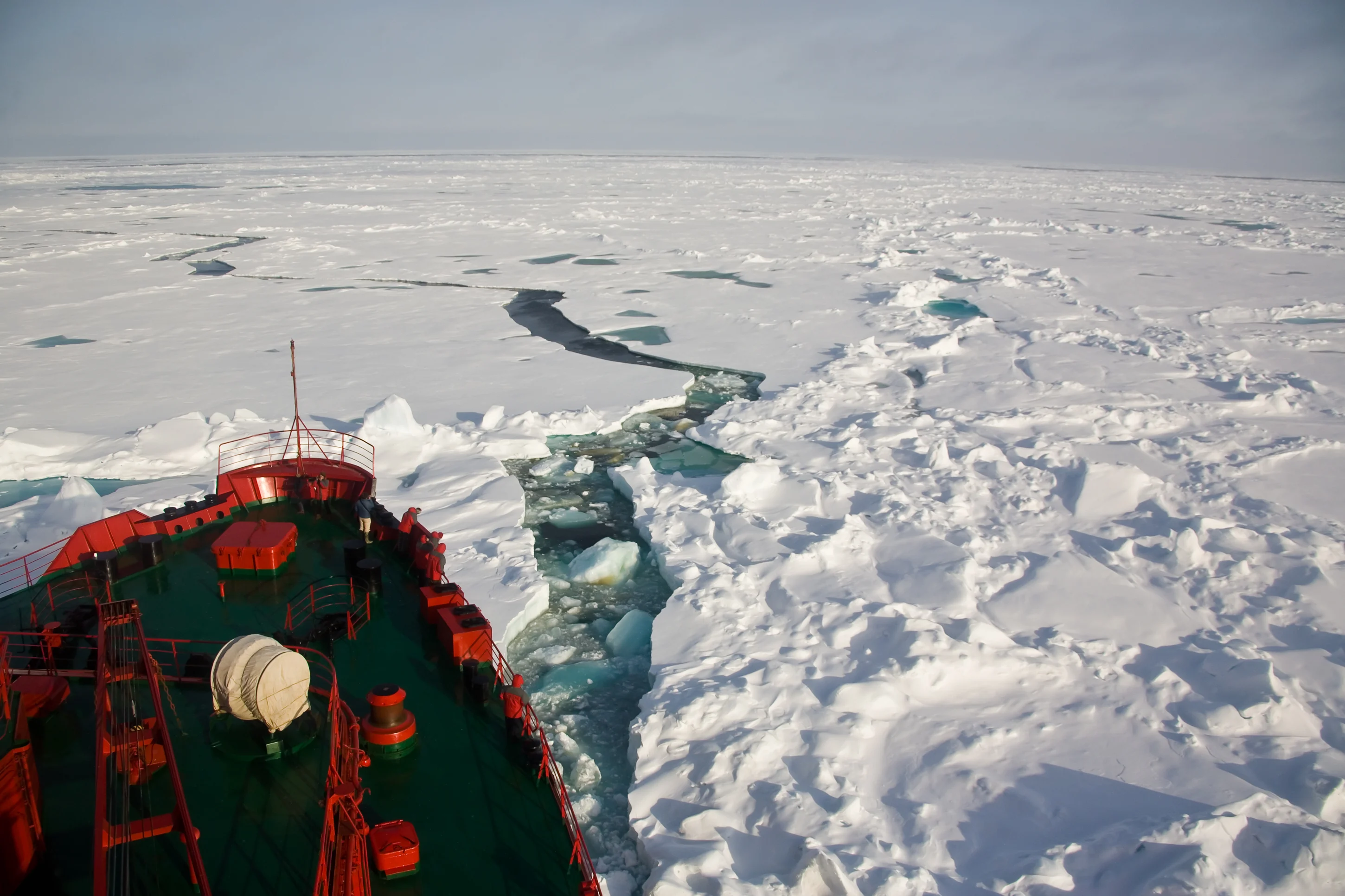
Russian Arctic north of Franz Josef Land on the way to the North Pole. (SeppFriedhuber. E+. Getty Images)
The negative effects are the most salient. In their report, the ECCC draws attention to increased pollution that will alter ecosystems and they also comment on how physical changes to the environment will pose new challenges for coastal communities as shifting wind and wave conditions affect infrastructure development in this already harsh environment.
But of course, there’s more details to this melting story.
According to the study, between 2010–2019, average atmospheric temperatures were 1.1°C warmer than temperatures from 1850–1900 so the study’s projections of a 2°C warmer world could mean the Beaufort Sea would be navigable for up to 200 days during the year.
The study also says that there is even the chance that temperatures could rise 4°C above the pre-industrial baseline. This would make the Arctic significantly more accessible to marine vessels exacerbating many of the forecasted issues.
On that frozen Northwest Passage, Haniliak and I stayed safe on our snowmobiles because he knew the colour and texture of the ice and where to go. He told me I didn’t need my GPS. He also knew where not to go. He told me not to go certain ways: “That’s where people have fallen in,” he said.
As both the subarctic and Arctic ice melts, navigating this changed landscape will only be part of the problem.
With files from Isabella O’Malley.
Thumbnail credit: Josef Friedhuber. E+. Getty Images


