A stalled hurricane can produce disastrous flash flooding

Recent years have seen plenty of stalled-out tropical systems leave behind devastating flooding in their wake
A hurricane hitting land is a nightmare for communities in the path of these ferocious storms. But the only thing worse than a hurricane hitting land is one that makes landfall and then stalls out, lingering over the region with flooding rains for days on end.
Stalled hurricanes are responsible for some of the worst damage we’ve seen in recent years. Here’s a look at why these formidable systems sometimes stall out when they make landfall—and what happens when this terrifying scenario plays out.
DON’T MISS: Tropical systems don’t need a name to trigger devastating floods
Devastating floods more common in recent years
Hurricane Harvey in 2017 is the classic example of a hurricane that stopped in its tracks to wreak catastrophic damage after making landfall.
This storm essentially froze in place over Texas for an entire week, drenching the region with more than 1,500 mm of rain. The ensuing floods killed dozens of people and left behind billions of dollars in damage.
Harvey was just one of many systems we’ve seen stall out after making landfall.

Drenching rain associated with Hurricane Joaquin brought South Carolina some of its worst flooding in living memory back in October 2015.
Hurricane Florence dumped more than half a metre of rain over the Carolinas in September 2018. A similar scenario played out when Hurricane Sally slowly made landfall on the northern Gulf Coast in 2020.
What causes a hurricane to stall?
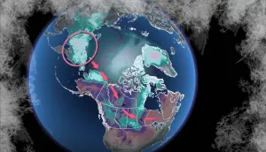
Weather is nature’s attempt to strike balance in the atmosphere. Hurricanes serve a purpose in this delicate system by dragging heat and moisture from the tropics toward the chilly Arctic.
But the patterns that push hurricanes from the tropics toward the poles sometimes break down and prevent these storms from moving at all.
MUST SEE: Why focusing on a hurricane’s category is downright dangerous
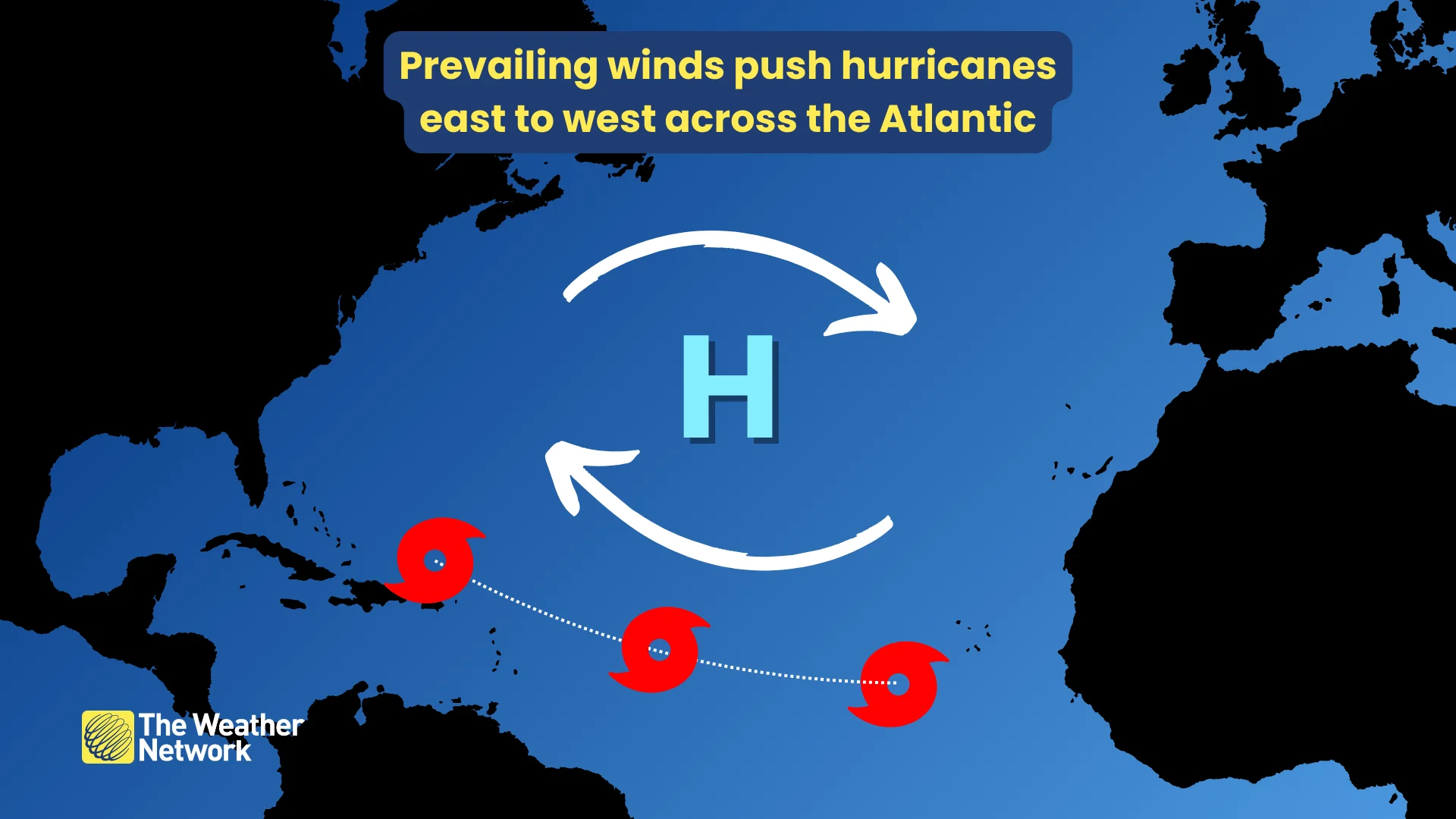
Prevailing winds over the open ocean are responsible for steering tropical systems along familiar routes.
Most storms during the peak of the season travel west across the tropical Atlantic, gradually curving north and then northeast as they feel the influence of the jet stream and reach the end of their life cycles.
Sometimes, though, these storms encounter a complicated pattern that forces them to slow down or even pause in place for days on end.
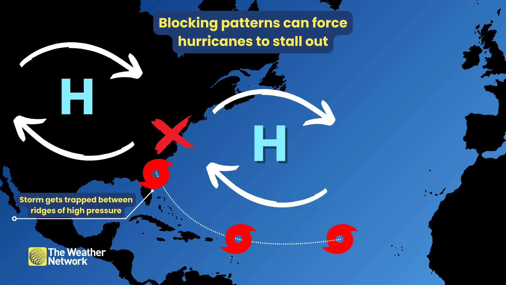
Ridges of high pressure are a common culprit behind hurricanes slowing down or stalling out. These features act like guardrails that a storm can’t easily bypass.
If a storm gets ‘trapped’ beneath a ridge of high pressure, or pinned between two ridges sitting side by side, then the storm has no choice but to linger over the same areas for days at a time. This is what happened during storms like Harvey and Florence.
Preparation is key
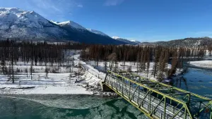
The surest way to combat the risk of stalling hurricanes is to prepare for impacts in advance. The effects of a landfalling storm can stretch hundreds of kilometres inland from the point of landfall, even bringing foul weather to portions of Eastern Canada.
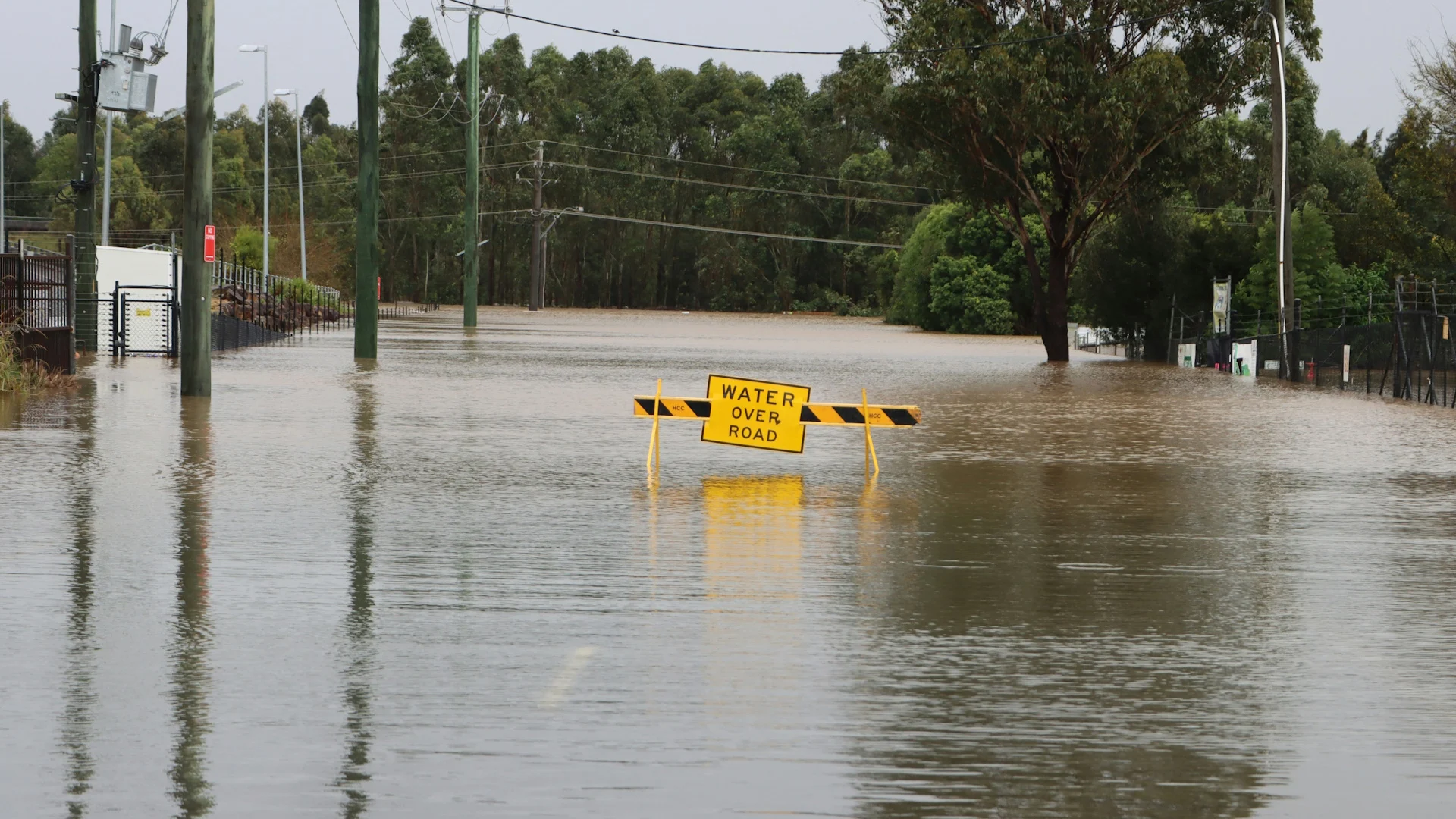
Flooding is far and away the greatest threat with any landfalling storm. Motorists driving into standing water is the leading cause of flash flood deaths. It’s impossible to tell how deep the water is until it’s too late, and sometimes the road is washed out beneath the water.
Plan routes that avoid major flood zones, and have multiple ways to get to your destination in case one or more roads are blocked by floodwaters.
Header image courtesy of Unsplash.