What is a 'Pineapple Express'?
The term comes up at some point during most winters along the west coast: the Pineapple Express. But what is it, and how did it get that unusual name?
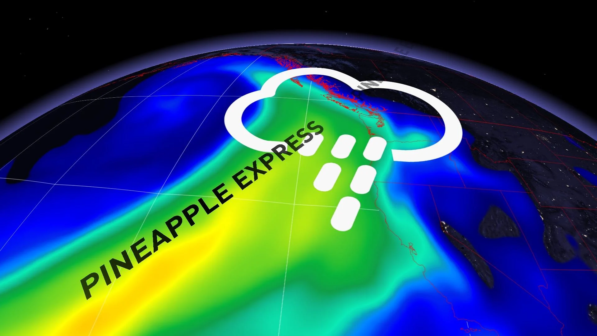
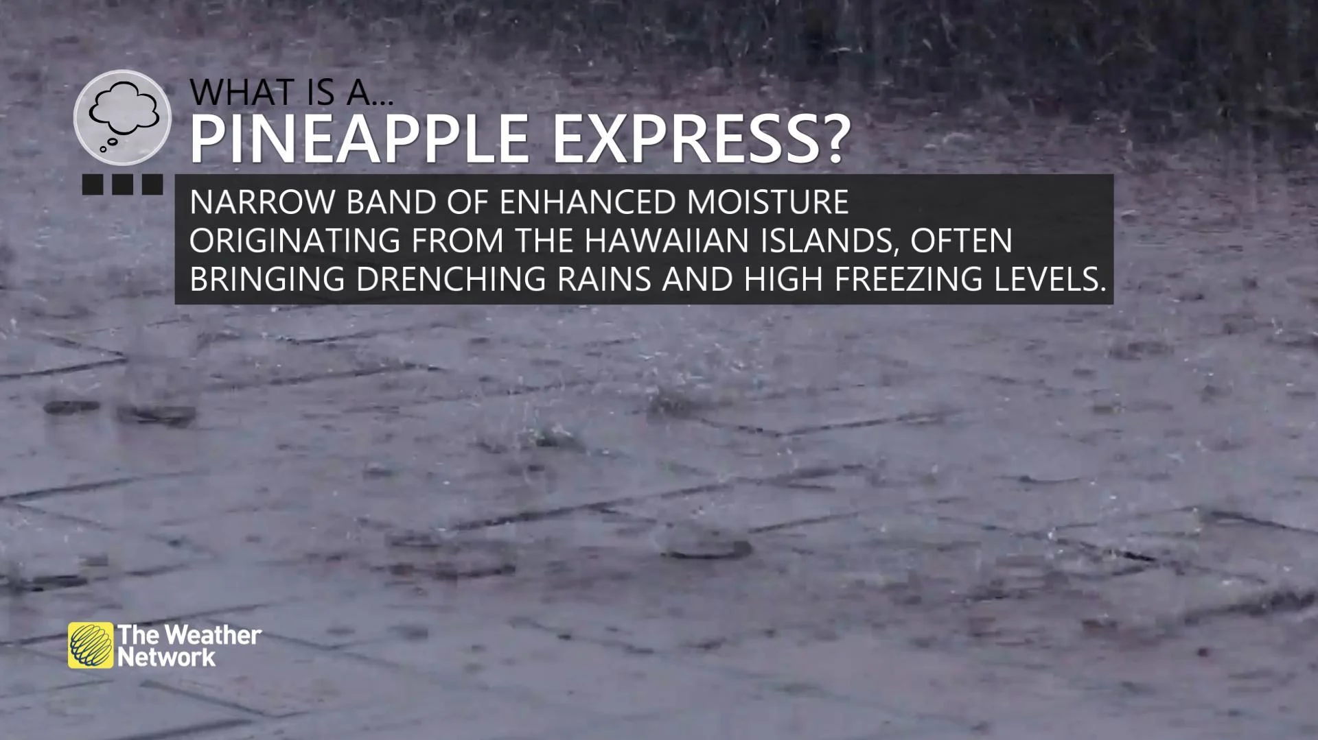
Associated with intense rainfall, mudslides, and flooding, 'Pineapple Express' is the name given to a potent band of tropical moisture that can target the coast from B.C. to California. It's an example of what's known as an atmospheric river—one of Earth's 'conveyor belts' that move heat and moisture from the Equator toward the Poles.
The Pineapple Express is one of the most famous of these rivers because it can have a powerful impact.
It's the interaction of high and low pressure centres over the Pacific that fuel the phenomenon. In the Northern Hemisphere, winds circle an area of low pressure counter-clockwise, and an area of high pressure clockwise. Where they meet up, you get a tight pressure gradient and an area of enhanced winds from the west. In the case of the Pineapple Express, it's a strong area of low pressure over the Gulf of Alaska, to the west of B.C., and a strong area of high pressure west of California that aim powerful west winds at the coast.
When that flow taps into tropical moisture that builds up over the ocean near Hawaii (hence the 'pineapple'), it can direct a substantial stream of water vapour right at the west coast, dumping tremendous amounts of rain and mountain snow over just a few days.

The one tricky part of a Pineapple Express forecast is finding the right target. It's a narrow zone of moisture aimed a big target -- the coast from central B.C. down to southern California. A minor shift in the stream can mean a big difference in who sees torrential rain and snow, and who gets showers.


