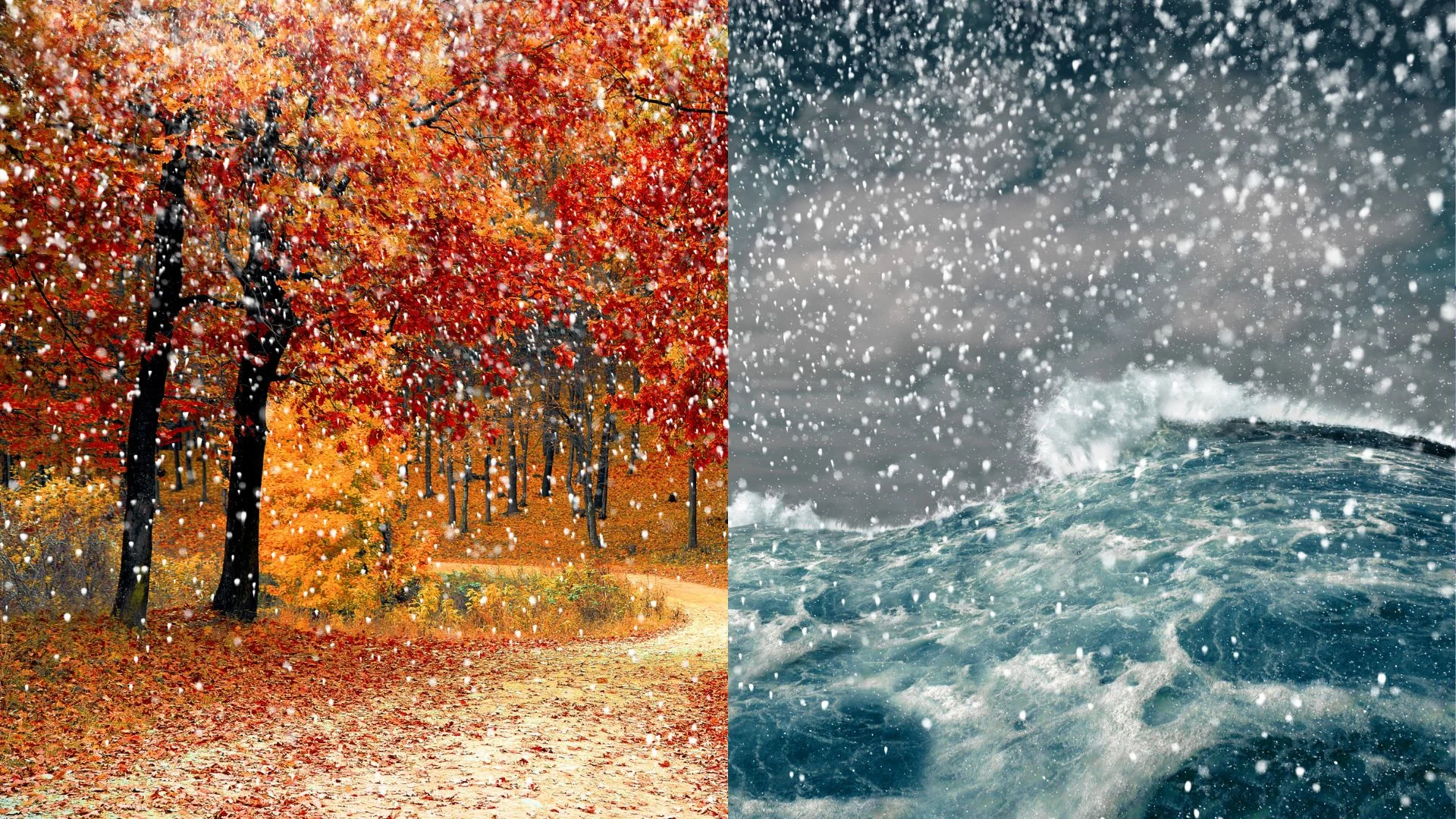
What does a classic fall storm look like in your part of Canada?

Nor’easters, southeasters, and Colorado Lows dominate the headlines heading into the fall months
Canada’s rocky road to winter is paved with a constant flurry of rollicking fall storms sweeping across the country.
Tropical systems and nor’easters buffet the East Coast during the autumn months. Changing seasons crank up the lake-effect machine across the Great Lakes. And folks in British Columbia start to come out of a long, dry summer as the rainy season begins.
Here’s a primer on what a ‘classic’ fall storm looks like in your corner of Canada.
DON’T MISS: 'Weather bombs' are explosive storms that create ferocious conditions
Tropics influence Eastern Canada’s weather
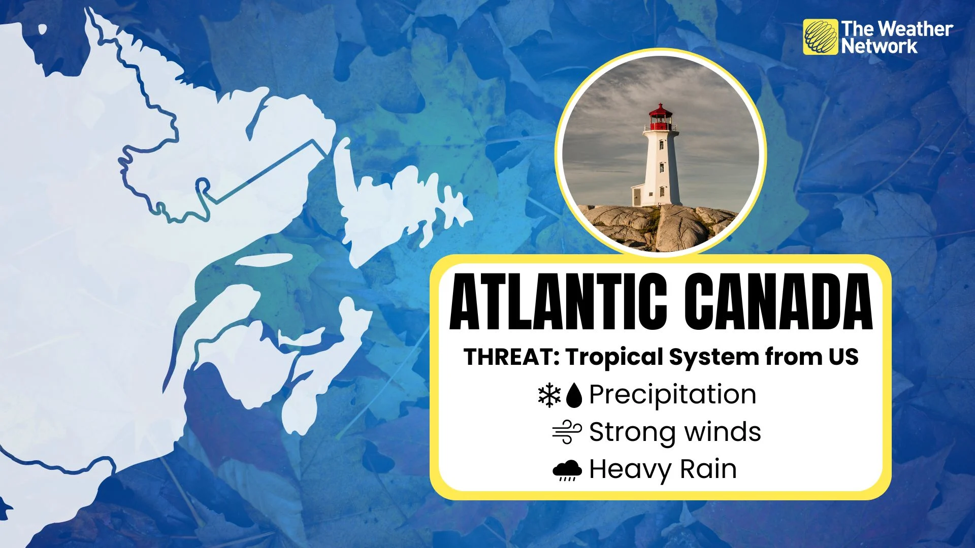
The most infamous fall storm in all of Canada is the dreaded nor’easter. These rollicking low-pressure systems roll up the East Coast with ferocious northeasterly winds (hence the name), heavy precipitation, and sometimes even coastal flooding.
Nor’easters have a touch of the tropics in them. These powerful systems often feed off the warm waters of the Gulf Stream in order to supplement their sprawling power.
It’s not just nor’easters that Maritimers have to watch out for. Hurricane season extends deep into the fall months, and the remnants of tropical storms and hurricanes frequently visit the region with heavy rain and high winds.
Visit our Complete Guide to Fall 2024 for an in-depth look at the Fall Forecast, tips to plan for it and much more!
Colorado Lows rule over Central Canada
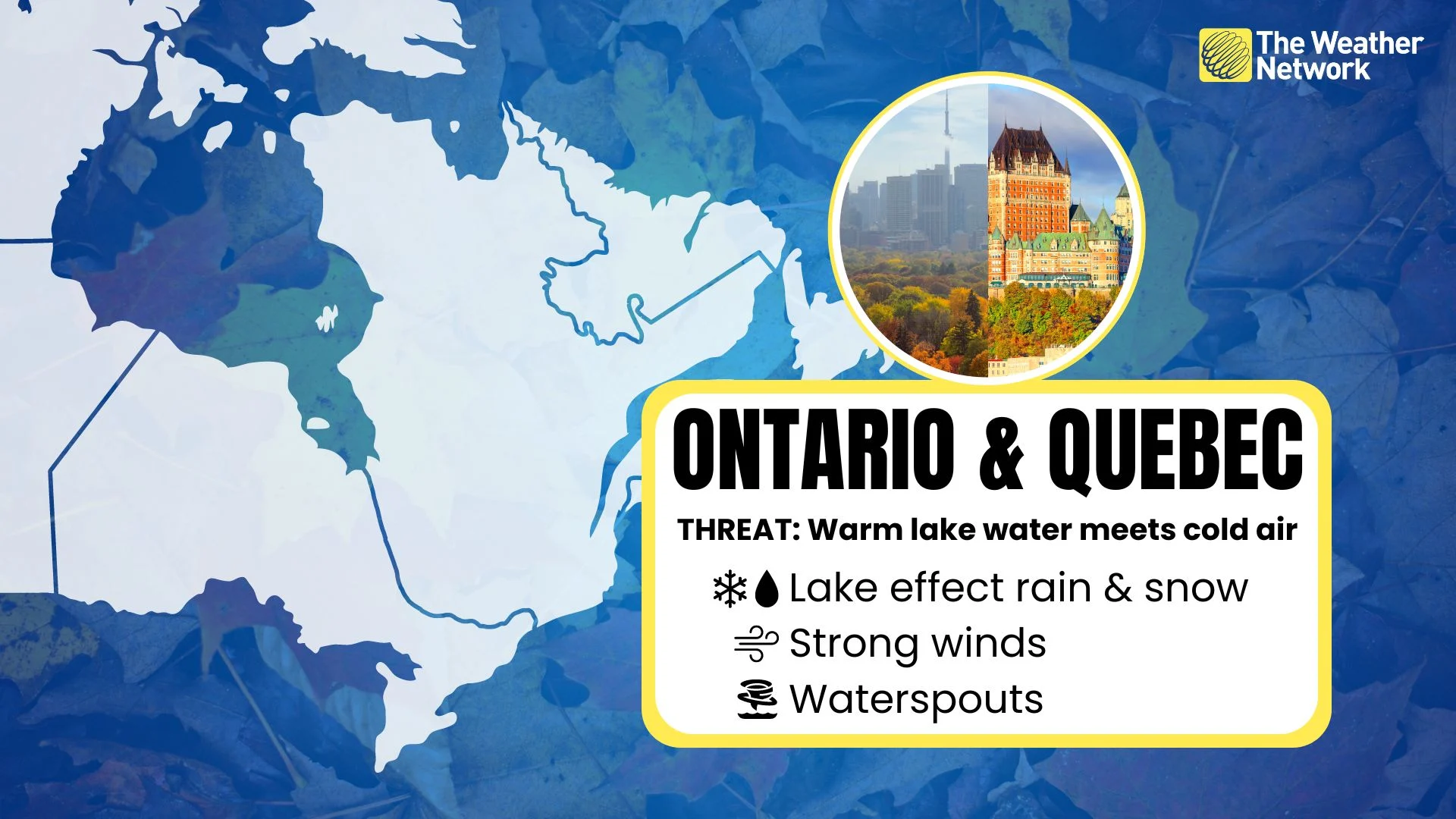
Nor’easters don’t have a monopoly on infamy. The term “Colorado Low” has a special meaning for folks across Ontario and Quebec accustomed to the foul conditions wrought by these classic storms.
Low-pressure systems that form east of the Rocky Mountains in Colorado often track into the Great Lakes region as they intensify, bringing an all-you-can-eat buffet of inclement weather to Ontario and Quebec.
RELATED: How Colorado lows and Texas lows affect our weather in Canada
These storms can even feed off the relative warmth of the Great Lakes to intensify further over the region, fuelling high winds, heavy rain, and sometimes even heavy snow or thunderstorms as they roll through the region.
The warmth of the Great Lakes themselves also plays a role in our classic fall weather. A sharp temperature difference between the warmer water and cold winds blowing above can lead to convection that sparks potent rounds of lake-effect rain or snow showers. Some of history’s most memorable lake-effect snowstorms unfolded during the heart of autumn.
Stalled lows are a headache on the Prairies

While most folks associate clippers with classic cool-season storms on the Prairies, Colorado Lows can also bring some big-time weather to the region when the atmospheric setup is just right.
MUST SEE: Jet streams can bring Canada wild winters and steamy summers
A classic fall storm setup here is an upper-level pattern that forces a Colorado Low to meander north of the border, feeding a continuous stream of moisture over the Prairies.
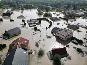
This scenario can lead to flooding rains during warmer setups and copious amounts of snow if there’s enough cold air in place. Calgary saw 30 cm of snow in early October 2018 as a result of one stalled low-pressure system in Alberta.
The rainy season begins on the West Coast

Dry summers across the West Coast tend to break in the autumn as the rainy season begins. A strong jet stream roaring over British Columbia tends to whip up a classic fall storm over the region known as a southeaster.
RELATED: Recalling the worst wind storm in B.C. history - 750,000 homes without power
Sneaky winds can roar in behind a low-pressure system after it tracks over Vancouver Island and the South Coast, bringing damaging gusts of 100+ km/h to the region.
One southeaster event in December 2018 is widely regarded as the province’s worst wind storm in living memory. Just over a decade earlier, a series of low-pressure systems tapped into atmospheric rivers to drop nearly 700 mm of rain in Tofino in November 2006.