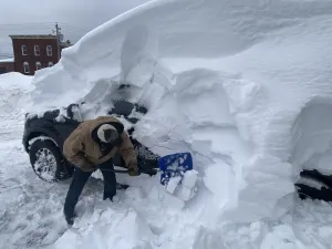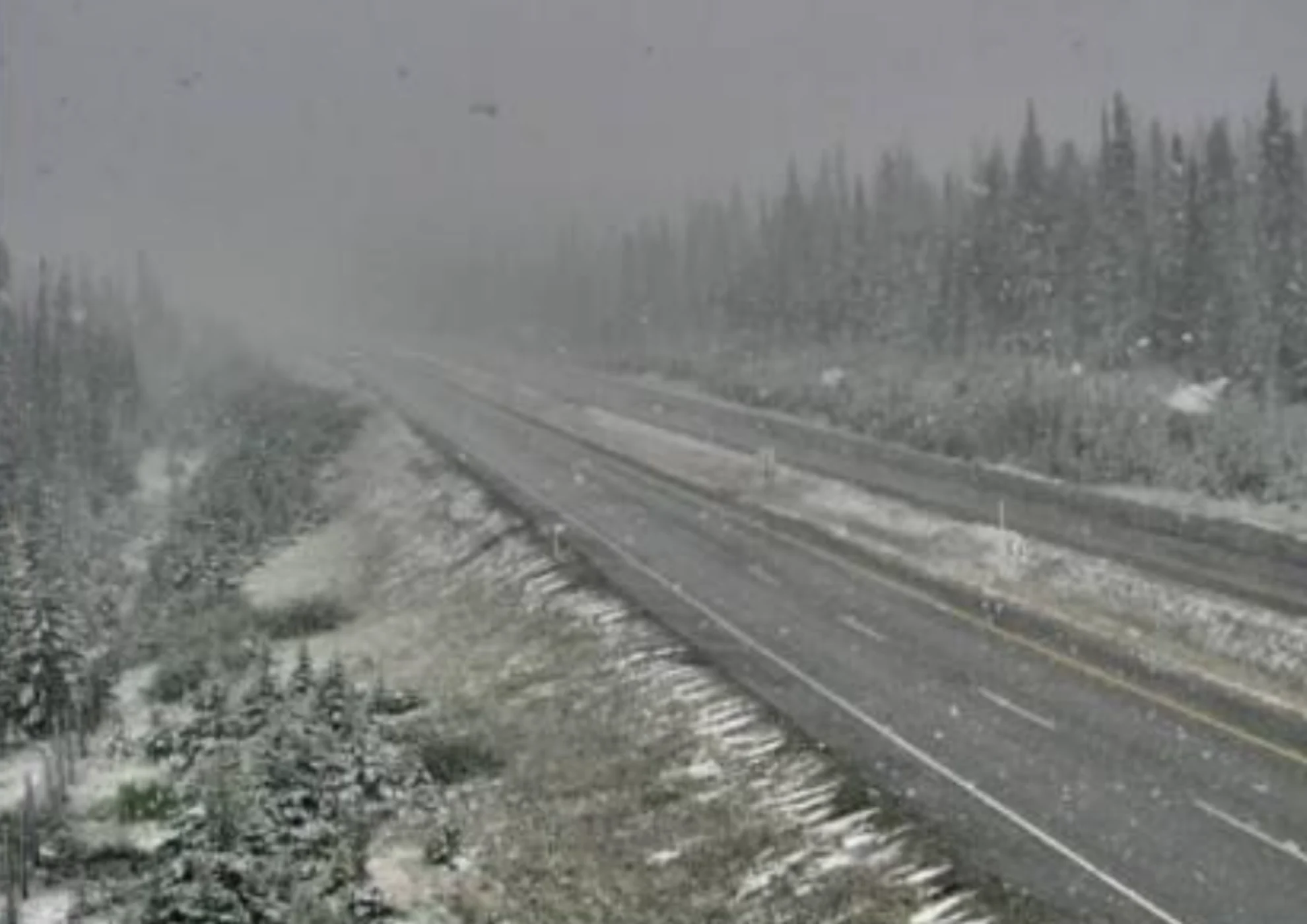
August snow hits parts of Western Canada. Winter may be closer than you think

Parts of Western Canada were hit with a late-summer snowfall this week, a bold reminder that winter is closer than you may think
An upper trough brought in cooler-than-normal temperatures for parts of Western Canada this week.
That also meant freezing levels that resemble October rather than August. Freezing levels were at approximately 1800 metres at one point, and normally they would be around 3000 metres at this time of the year.
RELATED: Summer vacation ends with snow sightings in parts of Western Canada

Areas across British Columbia such as Whistler, Revelstoke and the Okanagan connector have already seen late-summer flakes of snow on Tuesday.
The precipitation lasted through Wednesday in the alpine, with up to 30 cm of snow that was forecast in the Alberta Rockies. A pretty bold reminder that winter may be closer than you think.
The temperatures have rebounded, however, as a ridge of high pressure brings another round of summer heat.
With files from Jaclyn Whittal, a meteorologist at The Weather Network.
Thumbnail image courtesy: DriveBC/X