Big changes are coming for Canada's weather: Here's what to expect
A major pattern change across Canada will bring a few 'firsts' for the season as we slip from fall into winter.
Fall in Canada started off on a warmer-than-usual note, with only a few late-season storms to shake up the forecast here and there.
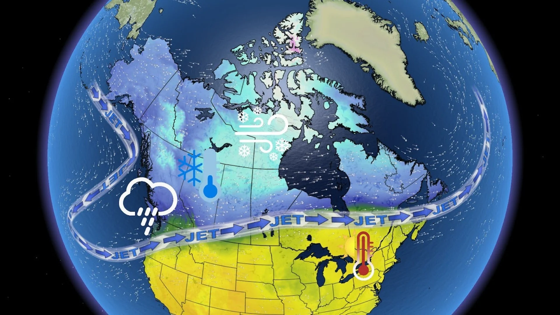
A big pattern change is on the horizon, however, that will be certain to shake things up across the country. For some folks, we'll see one last breath of late-season warmth before the cool, fall weather takes its hold once more.
For others, we'll start to see the dreaded transition from typical fall weather to sneak peaks of the winter ahead.
Southern Ontario already saw their first flakes of snow on Tuesday night as a cold northwesterly wind and temperatures just above freezing swept across the Georgian Bay and into parts of southern Ontario.
With this big pattern change starting on Friday, it's likely that we will see a few more 'firsts' of the season over the next week.

Canada's first blizzard of the season in the making
Cold Arctic air will meet up with an intensifying low-pressure system currently tracking into the Northwest Territories from the Pacific on Thursday. As the system continues to track eastward into Nunavut, we will see rain quickly transition into snow for the southern portions of the territories.
SEE ALSO: Why the first snowfall of the season can catch drivers by surprise
A swath of heavy snowfall will develop from the eastern portions of N.W.T. into western Nunavut on Thursday. Blustery winds with gusts of 90+ km/h will also linger into Friday.
With the combination of heavy snow and high winds, it's possible we could see Canada's first blizzard warnings of the season be issued on Thursday and Friday.

B.C. to weather its first significant atmospheric river of the season
To the south, in British Columbia, Friday will mark the start of a wet weekend. Parts of the province have already received more than its fair share of rain over the past month, with back-to-back systems and an atmospheric river battering the northern coast multiple weekends in a row.
The upcoming weekend will be no exception to B.C.'s soggy pattern, either, as another atmospheric river is set to bring over 100 mm of rainfall to the South Coast and lower mainland over the weekend. This will be the first significant atmospheric river we see of the season, targeting densely populated areas along the South Coast.

With the significant rainfall, we could see some localized flooding occur in low-lying and flood-prone areas.
The wind is also expected to significantly pick up on Thursday night for the northern half of Vancouver Island as well as northward between the coast and Haida Gwaii. Strong wind gusts of 90+ km/h will persist through Friday for these northern regions, while slightly less gusty winds will linger in the south later on Friday.
Rain isn't the only thing in B.C.'s forecast, however. Freezing levels are expected to climb from 1,500 metres on Friday to 2,200 metres on Saturday. With the help from the atmospheric river and some Arctic air sinking southward, folks above these elevations along the coastal and interior mountains could see a hefty helping of snow.

RELATED: Snowfall will just be the opening act to B.C.'s weather story this week
A big chill is coming to the Prairies
Folks on the Prairies have been seasonably mild weather as of late, but that's all about to change.
An upper-level trough over Western Canada will move in on Friday to open the floodgates for Arctic air to sink over the Prairies, drastically dropping temperatures across the region.
Temperatures will drop over the weekend, going from the upper teens to low single-digit temperatures by Monday.
Calgary and Edmonton may even see a snow risk in their upcoming forecast for the beginning of next week.
The weekend cooldown will be even more drastic in Saskatchewan and Manitoba, where highs in the low 20s will quickly fall to below ten degrees on Monday and Tuesday.

Eastern Canada to feel a late-season warmup
There's been a chill in the air across Eastern Canada for the past week, with parts of the region seeing the first flakes of snow fall from the sky for this season.
The chilly weather we've seen here was thanks to an upper-level trough funnelling cold air from up north across Eastern Canada.
A huge flip in the upper-level pattern this weekend, however, will see that trough get booted out and a ridge of high pressure move in. The high pressure will usher in an abundance of sunshine and light winds, along with temperatures rising out of the single-digits and into the low 20s that will last into the beginning of next week.
That means this will be the perfect weekend to finish up any last-minute outdoor chores before the winter weather makes its grand appearance.
Stay with The Weather Network for more forecast information and updates on your weather across Canada.


