Nearly all of Canada will face an icy chill due to building high pressure
Several high pressure records for the month of November could be broken this week.
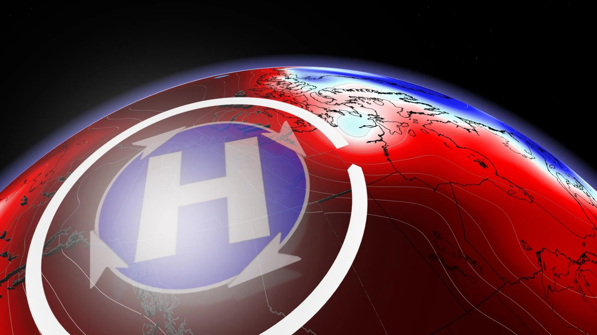
A record-breaking ridge of high pressure will envelope much of western North America this week.
Often we pay special attention to low pressure while de-emphasizing high pressure. However, high pressure can have the most influence on our weather patterns.

The situation will be quite unusual as a northward bulge in the jet stream will approach the North Pole by Thursday, extending all the way from California.
A strong area of high pressure will form and the intensity of the ridge will make it impossible for the Pacific jet stream to break through this prolific weather feature for several days.
SEE ALSO: Deep inside Greenland's melting ice cap, the situation is dire
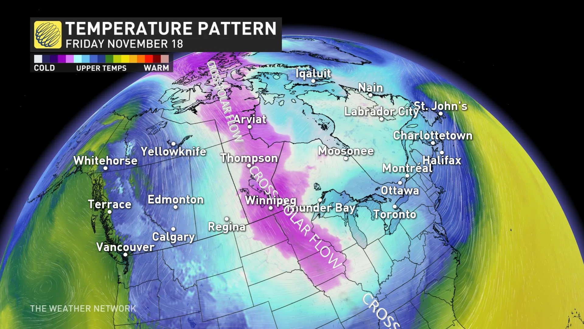
Think of this pattern as forgetting to shut the front door of your house in the middle of winter. Such an amplified pattern leaves most of Canada susceptible to a direct pipeline of Arctic air over the next few weeks.

The coldest air in the Northern Hemisphere is swirling over Siberia, but soon it will be wafting toward Nunavut. With such an amplified ridge, the Arctic air will continually tumble south across Central and Eastern Canada throughout November, paving the way for below-seasonal weather.
The high pressure system will be its strongest on Wednesday and Thursday and has the potential to set all-time records for the month of November.

The peak surface pressure forecast is a notch above 1060 hPa. Canada's highest adjusted sea-level pressure reading is 1071.9 hPa, occurring in early February 1989. Readings across B.C. and Alberta might get as high as 1055 hPa.


