Changeable mix of summer and fall will define Canada's Labour Day weekend
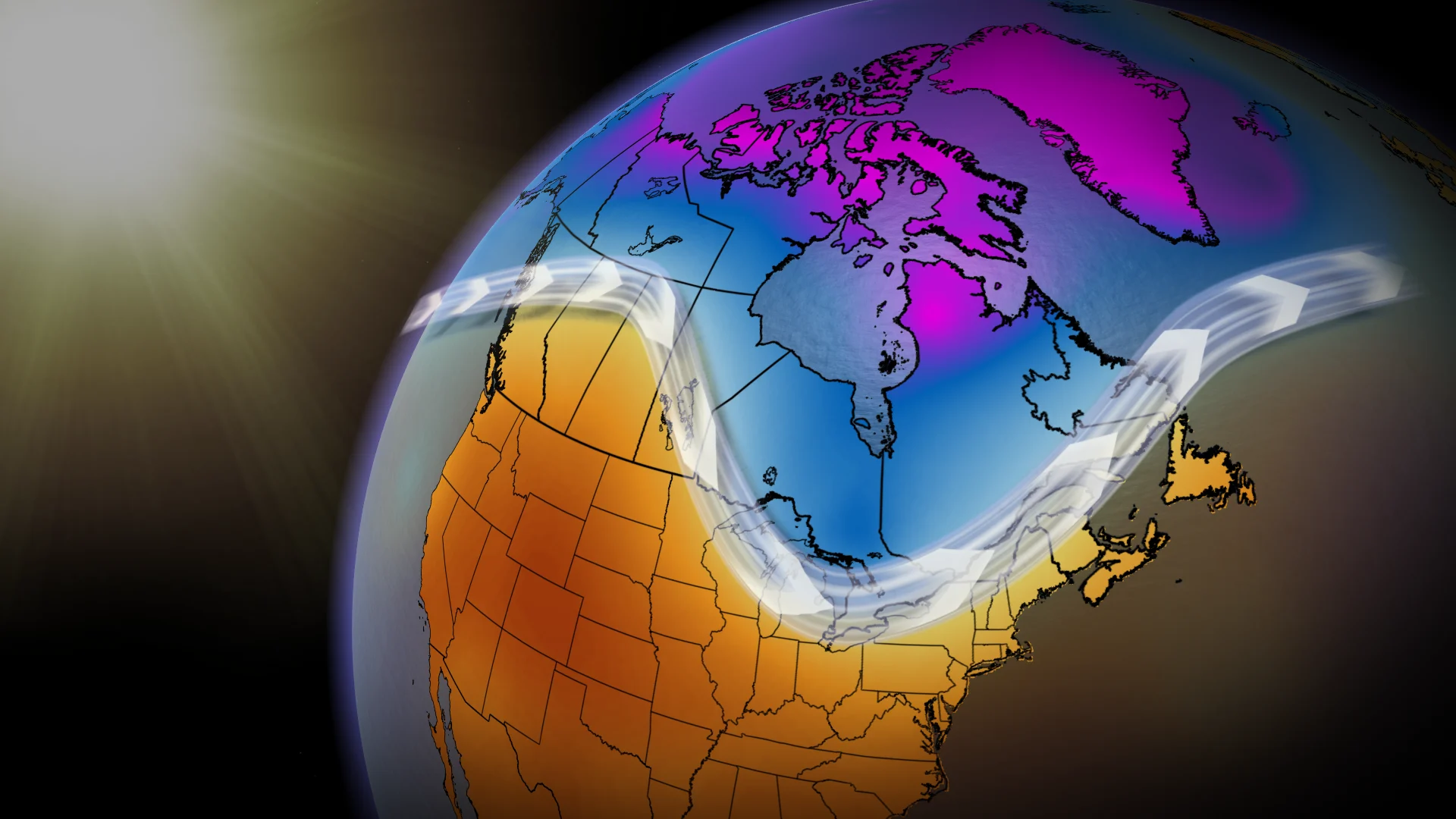
Changeable weather will define this Labour Day long weekend across Canada, with many areas seeing both warm summer weather and a taste of fall.
It may still technically be summer, but the upcoming Labour Day long weekend signals the unofficial end of the summer months.
As the new school year kicks off, the long weekend provides people and families with one last chance at some summer fun before going back to the early morning routines and increasingly shorter days.
RELATED: Summer is coming to an end and your sunset is getting earlier
This year, the Labour Day long weekend will feature a changeable toss-up of summer and autumn weather across the country, with the only exception being British Columbia’s southern Interior, which will feel like summer throughout the long weekend.
The warmest weather will be found across Western Canada, which will be mostly dry, while Eastern Canada will be unsettled, and even stormy at times.

British Columbia
Cool, wet weather will turn around to give way to an exceptionally summery long weekend across B.C.
The long weekend will be mostly sunny and very warm, with highs in the upper 20s to lower 30s for the southern Interior and in the mid to upper 20s for the South Coast region, although it will feel cooler along the coast itself.
PHOTOS: August snow hits parts of Western Canada. Winter may be closer than you think
Monday, however, is expected to be a few degrees cooler for the rest of the South Coast.

Prairies
After cooler weather dominated Alberta early in the week, temperatures will quickly rebound, resulting in above-normal temperatures across Alberta and Saskatchewan heading into the long weekend. Daytime highs will be in the mid to upper 20s, although it’s not out of the question for some locales to see temperatures reach 30°C.
A quick shot of cooler, near-seasonal weather will spread across the Prairies on Saturday, with Manitoba seeing a few scattered showers throughout the day.
Fortunately for Alberta and Saskatchewan, the warm, sunny weather will rebound in time for Labour Day, sending temperatures into the upper 20s to low 30s. Temperatures in Manitoba, however, will remain in the lower 20s.

Northern Ontario
The long weekend in northern Ontario will start with above-normal temperatures ahead of the passage of a strong cold front late Saturday that will result in rounds of overnight showers and thunderstorms.
After that cold front has finished passing through, temperatures will remain in the upper teens for the rest of the weekend. The cooler temperatures and a brisk wind will give northern Ontarians a taste of early fall to close out the long weekend.
SEE ALSO: Candles or DEET? What is the best way to prevent bug bites?
Southern Ontario
The week will once again end with the return of stifling heat and humidity across southern Ontario. Along with the hot and humid air, showers and thunderstorms will develop late Friday and into the overnight.
People could see showers lingering into Saturday morning in regions southeast of Toronto before the sunshine breaks through for the rest of the day.
Sunday will also start off on a warm and partly sunny note, but the region is not exempt from any unsettled weather changes. We will see an increasing threat for showers and thunderstorms as the cold front from northern Ontario continues tracking east into the region. Cottage Country will be the first to get the unsettled weather early Sunday afternoon, before the front sweeps into the Greater Toronto and Hamilton Area in the late afternoon.

Labour Day will then give southern Ontarians an early taste of fall, with temperatures for most of the region struggling to reach above 20°C. Further north toward Cottage Country, daytime temperatures will remain in the upper teens, with a brisk northwest wind to give people an extra chill.
Eastern Ontario and southern Quebec
The week will end on a pleasant note for the Ottawa and Montreal areas, with highs in to the mid-20s and partly sunny conditions.
Friday night, however, will be when the changeable conditions move into eastern Ontario and southern Quebec. Overnight showers and thunderstorms will last into Saturday morning until we start to see some clearing throughout the afternoon and evening.
Sunday will continue the pleasant weather with partly sunny skies and highs in the mid-20s. By late Sunday, however, showers and thunderstorms will track into the region from the west ahead of the strong cold front.

The cold front will leave Monday feeling like early fall—partly sunny, with a brisk wind and highs in the mid to upper teens.
Atlantic Canada
Atlantic Canada's week will end on a slightly cooler note, but temperatures will warm up a bit in time to give the long weekend a strong start.
An increasing threat for showers and thunderstorms across the Maritimes, however, could quickly put a damper on the weekend festivities late Saturday and Sunday.
More widespread showers and thunderstorms are expected for Monday, with the wet weather eventually spreading into Newfoundland, where it will stick around for a few days. Eastern Newfoundland and St. John's will be the place to be, as the area is expected to luck out and stay mostly dry and warm throughout Monday.
Stay with The Weather Network to keep up-to-date on your Labour Day long weekend forecast across Canada.


