Deep, wind-driven Prairie snows expected this weekend
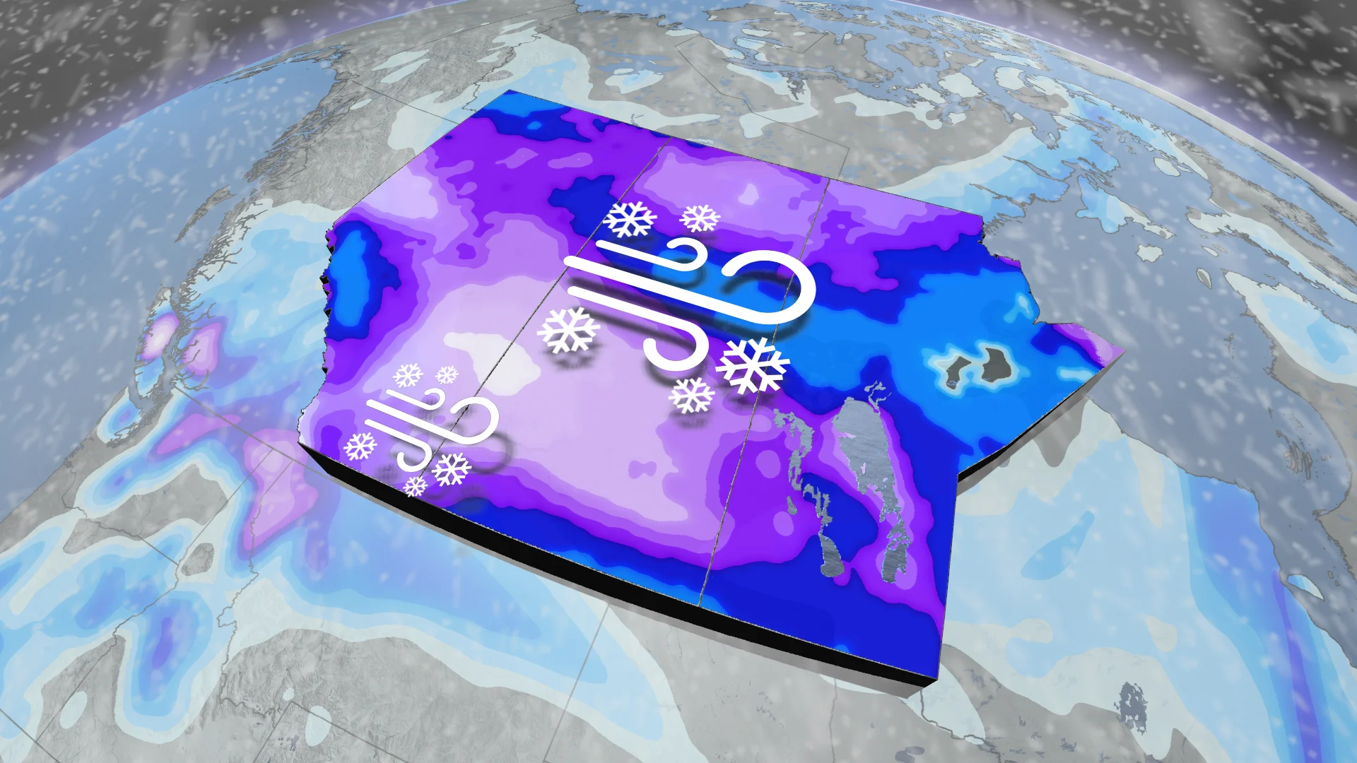
Another potent snowstorm is on the way for just about every major city on the Prairies heading into this weekend
Winter is off to a roaring start on the Prairies as yet another disruptive snowstorm takes aim at the region this weekend.
Widespread snowfall warnings are in effect as some areas are in line for 20-40 cm of snow by the time all is said and done on Sunday. Heavy snow coupled with gusty winds could lead to near-whiteout conditions and dangerous travel at times.
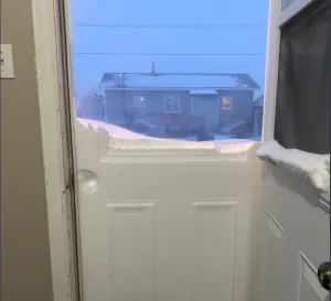
PHOTOS: First winter storm of the season makes mess in parts of Saskatchewan, Manitoba
Be sure to check back for the latest forecast updates, and stay alert to all of the weather watches and warnings in your area.
Heavy snow puts wintry spin on this weekend
We’ve already seen some accumulating snow across Alberta and Saskatchewan on Friday. This is just an appetizer for what’s to come this weekend.

Our latest system spent the end of the week pushing into British Columbia and the Pacific Northwest. Moisture and energy spilling over the Rockies will lead to the development of a low-pressure system on the western Prairies by Saturday.
It’s important to note that very cold temperatures will make this a fluffy, powdery snow that could accumulate rather quickly and blow and drift with ease.

Snow will increase in coverage and intensity as we head into Saturday morning and afternoon. At times, snowfall rates will intensify to 2-4 cm per hour in some areas.
MUST SEE: Will winter redeem its reputation? A sneak peek at winter 2024-25
Major snowfall totals of 20-40 cm
Snowfall warnings span much of southern Alberta and Saskatchewan ahead of this weekend’s disruptive winter storm.
Many areas will see between 15-25 cm through Sunday, with some of the harder-hit areas along the provincial border seeing as much as 40 cm.
Blustery winds of 30-40 km/h will cause blowing snow and reduced visibility. Drivers are being urged to prepare for quickly changing and deteriorating travel conditions.

"Visibility may be suddenly reduced at times in heavy snow," says Environment and Climate Change Canada (ECCC) in the snowfall warning. "Surfaces such as highways, roads, walkways and parking lots may become difficult to navigate due to accumulating snow."
Drivers should remain alert for potential road closures again heading into this weekend. Heavy snow and gusty winds could potentially lead to power outages. Be sure to charge devices ahead of the storm’s arrival, and have a plan in place to deal with travel and power disruptions.
RELATED: More than 12 cars involved in snowy pileup east of Calgary
Unusually heavy snow for Edmonton airport
Edmonton is forecast to see around 20 cm of snow on Saturday, a bit of an abnormal wintry event for the region.
The last time 20 cm was recorded was back on April 15, 2002 when 23.7 cm fell. Meanwhile, you'd have to head back even further for a 30 cm snowfall, and that was when 36.2 cm hit the region on April 6, 1991. That was in fact the largest single day snowfall ever recorded for Edmonton airport.
This weekend's snowfall could be close to one of the biggest one-day snowfalls in the past 20 years in Edmonton!
Temperatures take a frigid turn
Temperatures have dropped significantly, and are expected to trend colder across the region during the rest of November.

For many, this will be the first time this season that daytime highs don't warm above -10°C. Alberta will also be looking at minus double-digit temperatures going forward into the long range next week.
Stay with The Weather Network for all the latest on conditions across the Prairies.


