Disruptive snowstorm continues sweeping the Prairies
Some areas may see up to 40 cm of snow by the end of the storm this weekend
Snow is falling hard and piling up fast across the Prairies as a significant and disruptive storm rolls across the region.
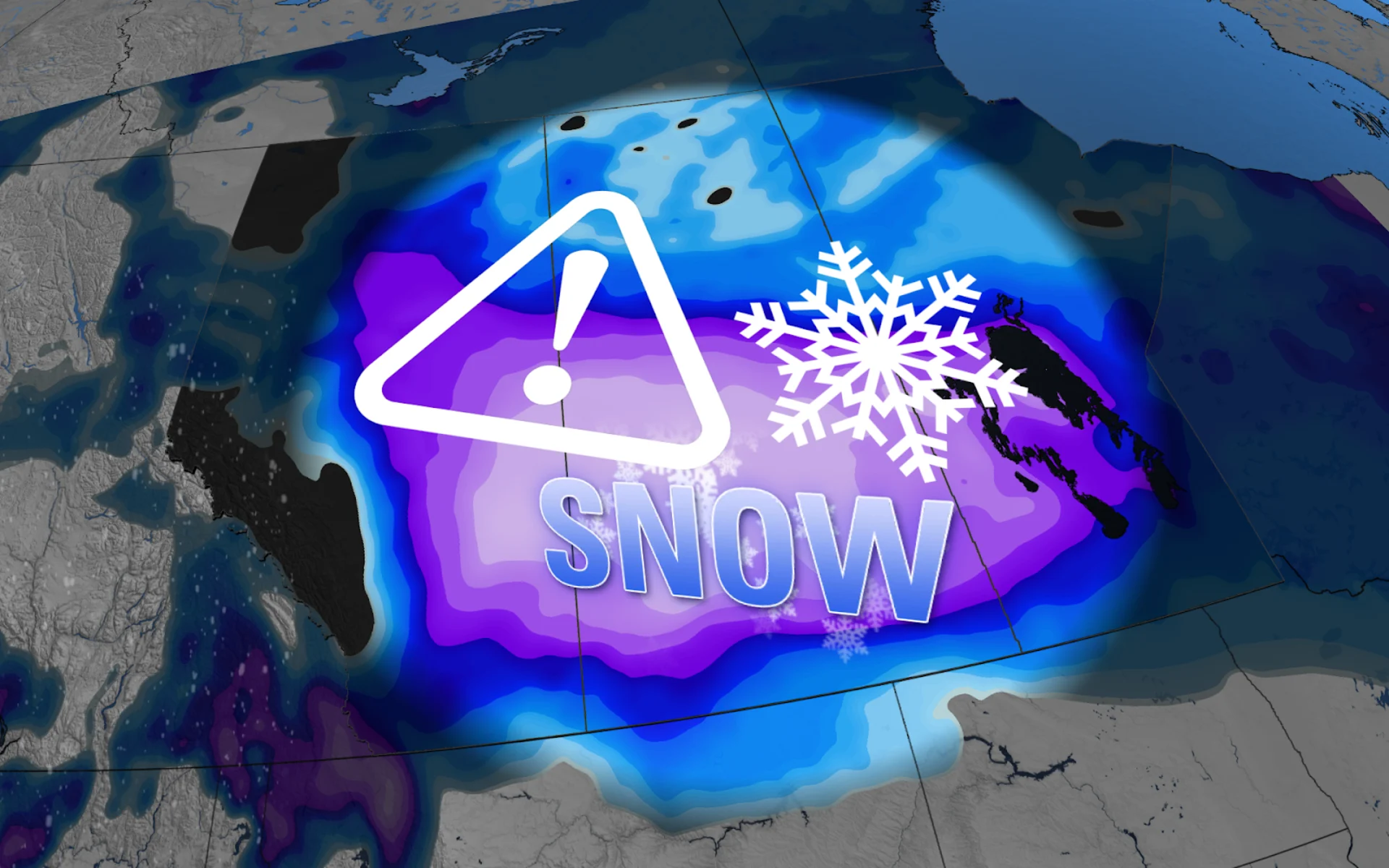
A widespread swath of Alberta and Saskatchewan could see 30-40 cm of snow by the end of the storm, with at least some accumulations expected in every major city on the Prairies.
Roads are completely snow-covered and reduced visibility has been reported throughout much of southern Alberta and southern Saskatchewan as this storm continues into Saturday night. Conditions are expected to go downhill in southern Manitoba as the storm arrives through the overnight hours.
DON’T MISS: Coldest air of the season to push into Canada to start December
Avoid travel during periods of heavy snow and reduced visibility. This is a very cold snowstorm and getting stranded could be a life-threatening ordeal. Be sure to stay up-to-date with the latest watches and warnings, as well as the latest road conditions in your area.
Major snowfall totals of 20-40 cm
Snowfall warnings stretch from Alberta to Manitoba as this disruptive storm unfolds.
A widespread swath of 30-40 cm of snow is expected from southeastern Alberta through southern Saskatchewan, including the cities of Saskatoon and Prince Albert. Regina may be on track for 20-30 cm of snow by the end of the storm. We’re looking at totals closer to 5-10 cm farther east toward Winnipeg.

Blustery winds of 30-40 km/h will cause blowing snow and reduced visibility. Drivers are being urged to prepare for quickly changing and deteriorating travel conditions.
"Visibility may be suddenly reduced at times in heavy snow," says Environment and Climate Change Canada (ECCC) in the snowfall warning. "Surfaces such as highways, roads, walkways and parking lots may become difficult to navigate due to accumulating snow."
Drivers should remain alert for potential road closures again heading into this weekend. Heavy snow and gusty winds could potentially lead to power outages. Be sure to charge devices ahead of the storm’s arrival, and have a plan in place to deal with travel and power disruptions.
WATCH: Icy layer on Alberta roads is making travel treacherous this weekend
Unusually heavy snow for Edmonton airport
Edmonton is forecast to see around 20 cm of snow on Saturday, a bit of an abnormal, wintry event for the region.
The last time 20 cm was recorded was back on April 15, 2002 when 23.7 cm fell. Meanwhile, you'd have to head back even further for 30 cm of snowfall, and that was when 36.2 cm hit the region on April 6, 1991. That was, in fact, the largest, single-day snowfall ever recorded for Edmonton airport.
RELATED: More than 12 cars involved in snowy pileup east of Calgary
This weekend's snowfall could be close to one of the biggest one-day snowfalls in the past 20 years in Edmonton.
Temperatures take a frigid turn
Things are only going to go downhill from here. It’s already frigid across the Prairies and temperatures are expected to get even colder heading toward the end of November.

A frigid airmass from Siberia will cross over the North Pole this week and sweep into Canada around the turn of the month.
Many communities will struggle to climb out of the minus double-digits by Friday, with bitterly cold wind chill values to match the deep freeze.
Stay with The Weather Network for all the latest on conditions across the Prairies.


