Don't call it a comeback, Canada: Winter hasn't even started
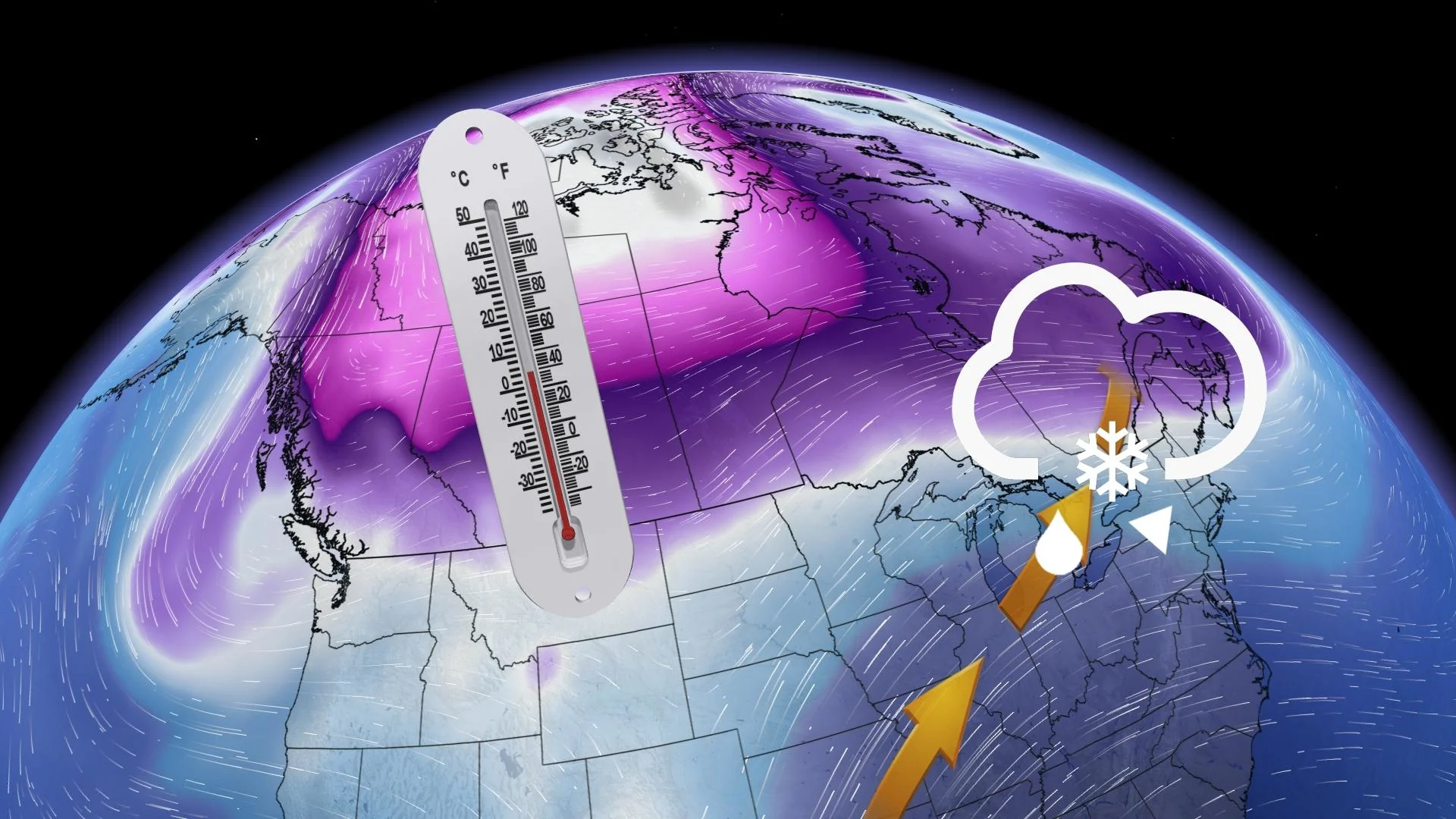
A drastic pattern change is in store to finish November. The Pacific flow will end and the polar vortex will gradually sink south across Canada
We've seen this pattern before. The Arctic air spilled across Canada earlier in November. Two upper ridges will anchor the next cold wave right into early December, promising more snowfall and chilly temperatures across much of the country.
The core of the polar vortex is over eastern Siberia. A sizable chunk of frigid air will be whisked down by a building ridge of high pressure over Alaska.
SEE ALSO: Snow jelly rolls? See what’s forming from a recent winter wallop
This pattern doesn't appear to be very transient, either. Another ridge wants to lock the cold across the country. Signs of a blocking pattern over eastern Greenland are building, compressing the cold anomaly into Canada.

How cold? Well, here's a reasonable first forecast at our coldest daytime highs for the next 10 days across Western Canada. Some of these readings might end up being a little conservative.

Remember Vancouver and Victoria, B.C., recording snow before Ottawa, Ont., and Montreal, Que.? Now that we're a few more weeks into November, storm tracks that brush the coast have a higher tendency to drop the snow level to sea level.
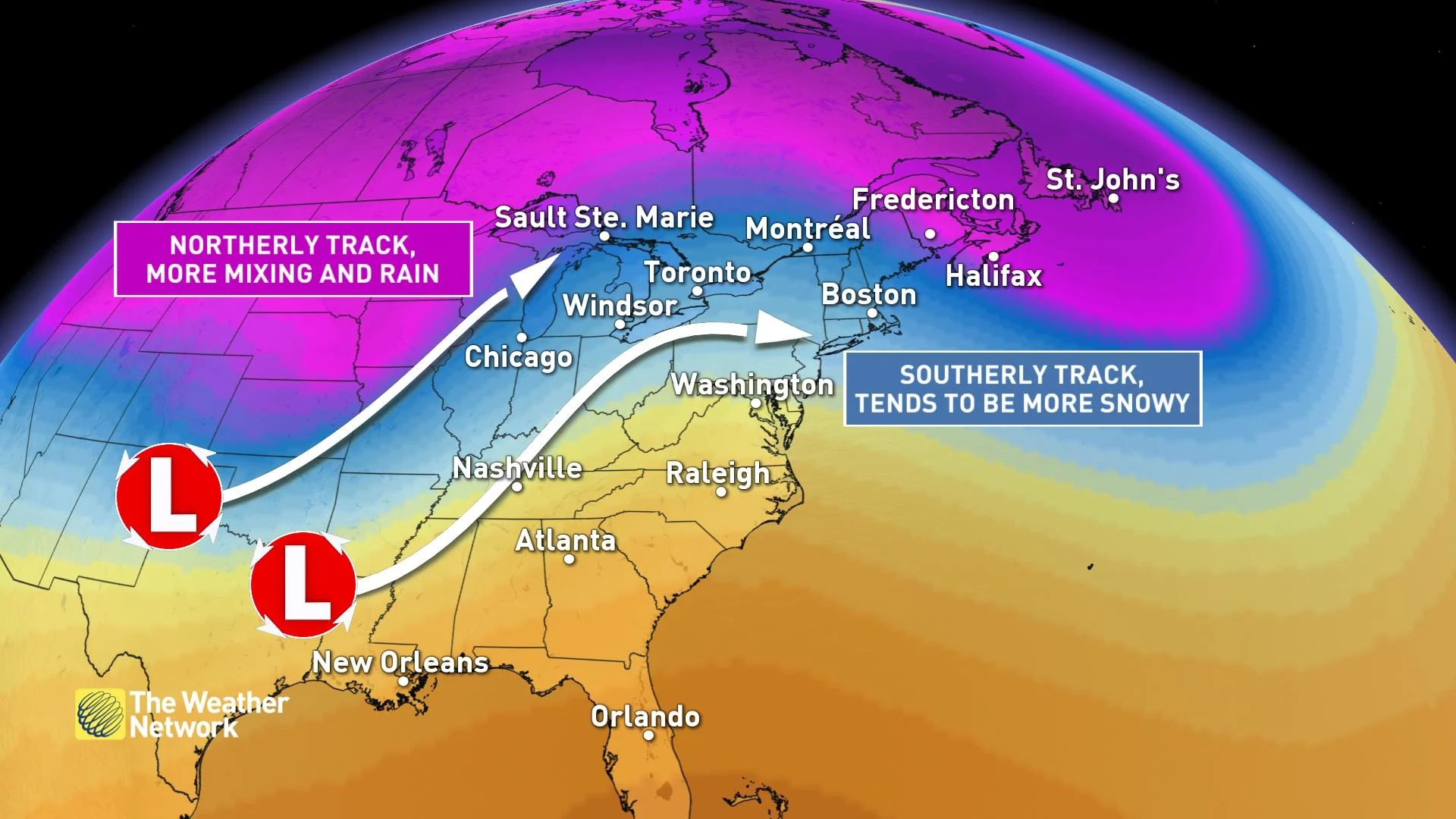
Although we likely won't see temperatures into the 20s again, there's a window of opportunity for warmer temperatures to sneak into the forecast across Ontario and Quebec, especially if the storm track materializes northwest.
With the focus of Arctic air staying across Western Canada and plunging deep into the southwestern U.S., this will create a boundary for systems to ride north towards the eastern half of the country. The contrast of the Arctic air in the west and the milder warmth from the U.S. surging northeast will be a recipe for a stormy pattern for Ontario, Quebec and possibly Atlantic Canada late next week.
All of this is hinging on a ridge across the southeastern U.S. A stronger ridge would allow warming temperatures to sprawl north, even extending into Atlantic Canada at times.


