How a monster is born: Discover the fuse that lights a bomb cyclone
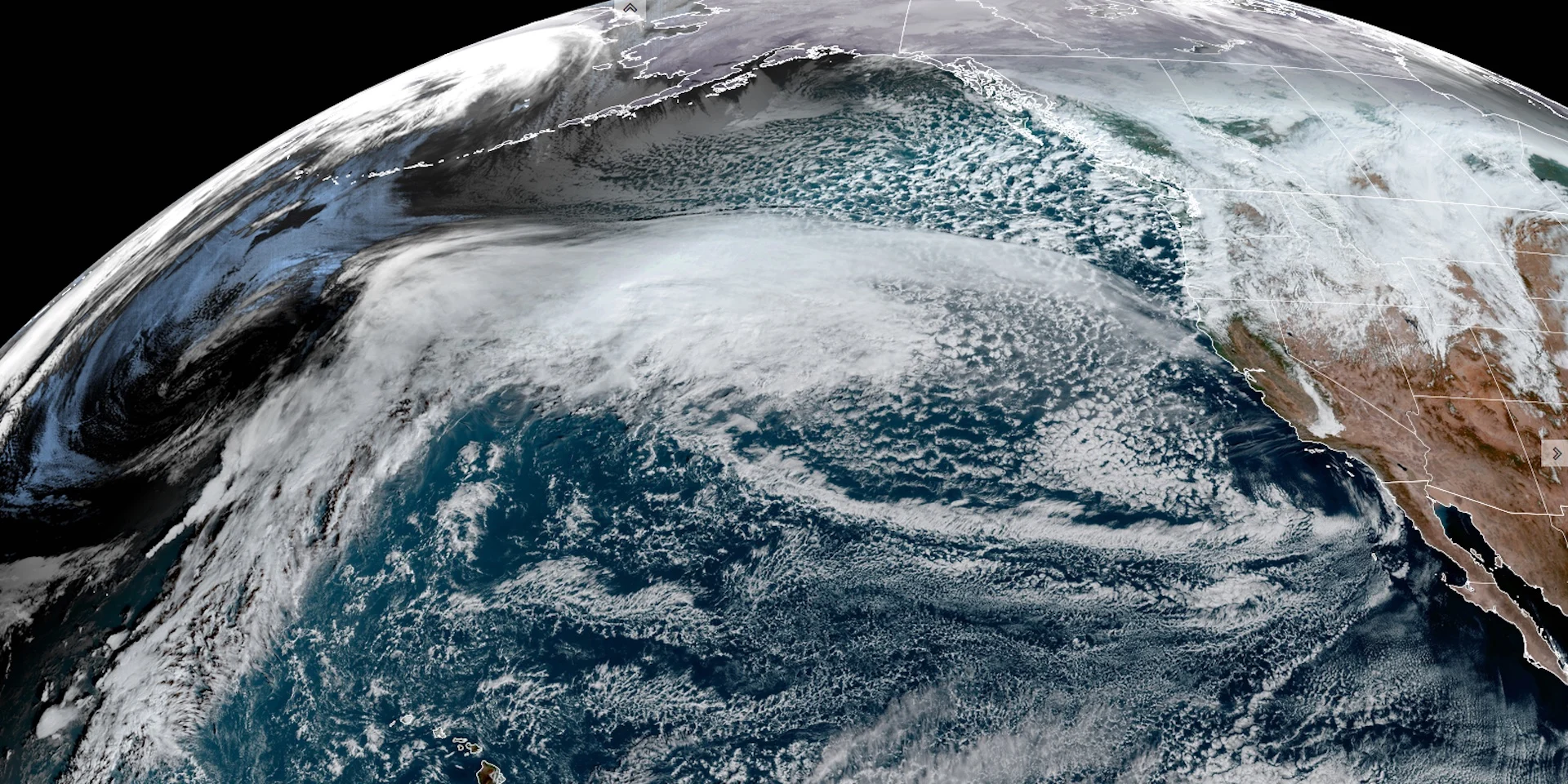
At first glance, the upper-air pattern across the atmosphere this past weekend might have seemed like a typical fall setup for B.C. Dig deeper, however, and you will uncover the makings of a monster.
Spoiler alert: It’s all about timing.
At first glance, the upper-air pattern across the atmosphere this past weekend might have seemed like a typical fall setup. Dig deeper, however, and you will uncover the makings of a monster.
The pattern is growing more amplified, with a large ridge building over the Bering Sea. This blocking pattern is crucial since it traps cold air near the surface, enhancing the temperature contrast needed for explosive storm development.
RELATED: B.C. bomb cyclone to create the world’s largest wave pool
Off the coast of British Columbia, the storm ingredients were quietly falling into place. A massive pool of modified Arctic air had settled across the Gulf of Alaska. However, thousands of kilometres away, the secret fuse was tucked inside an unassuming, cutoff, upper low nestled beneath the high-pressure ridge.

Through Monday, this pocket of energy, known as a shortwave, began its eastward journey, riding the powerful polar jet stream. At the same time, a deepening trough edged closer to the B.C. coast from the Gulf of Alaska.
This “kicker” piece of energy was poised to inject fuel into the larger-scale trough––essentially acting as the fuse for rapid intensification in what was shaping up to be a textbook-perfect storm scenario. For this explosive process to work, the timing was everything. As the atmospheric clock ticked, these elements synchronized perfectly.
The result?
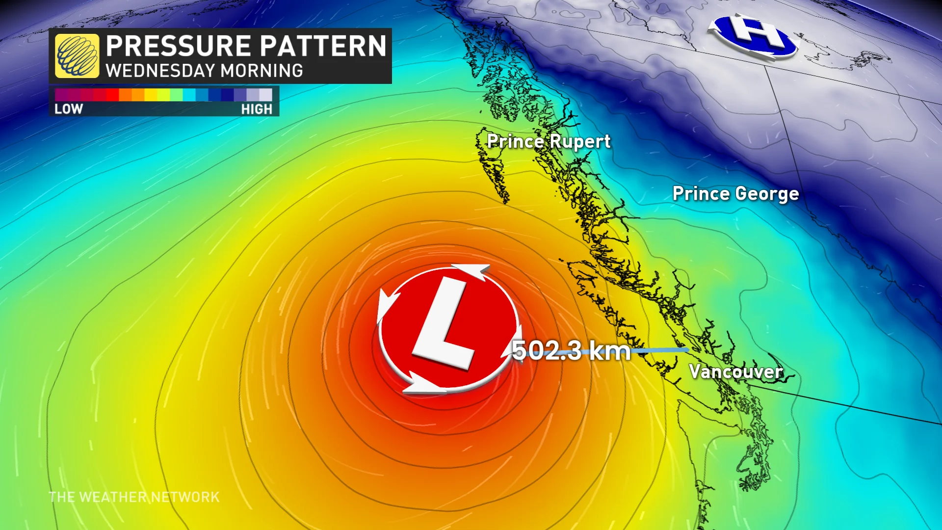
An incredible increase in upward motion creates a vacuum effect at the surface. This initiated a rapid pressure drop––a staggering 70 hPa in just 24 hours. It’s one of the fastest pressure drops this part of the world has ever seen, triggering a feedback loop where the storm expanded, drawing even more energy from its surroundings.

By Monday evening, a buoy dropped into the disturbance would have recorded a modest barometric pressure of 1010 hPa. Just 24 hours later, that same buoy would register around 940 hPa––a drop of 70 hPa. A true superstorm, born in less than a day.
All of this stemmed from an upper trough thousands of kilometres away. That precisely timed interaction was enough to light the fuse and create the perfect storm.
Thumbnail courtesy of NOAA.


