How much snow falls in the B.C. mountains? The answer may shock you
Every winter we hear about the Rocky Mountain peaks getting snow almost constantly, but how much snow really accumulates on the B.C. mountain range? Meteorologist Jaclyn Whittal investigates, below.
British Columbia has some of the most diverse geographical characteristics in North America. The coastal climate of Vancouver offers palm trees in the downtown core, where residents enjoy mild temperatures due to the proximity of the Pacific ocean. In the capital, Victoria, the mountains that surround the region create what’s called a rain shadow effect - where it can spare the region from excess rainfall. Meanwhile, you can create some of the best summer memories in the Okanagan Valley, while basking in sunshine among vineyards and lakes.
In fact, the climate is so diverse within B.C., that in some regions, you can even golf and ski in the same afternoon at certain times of year.
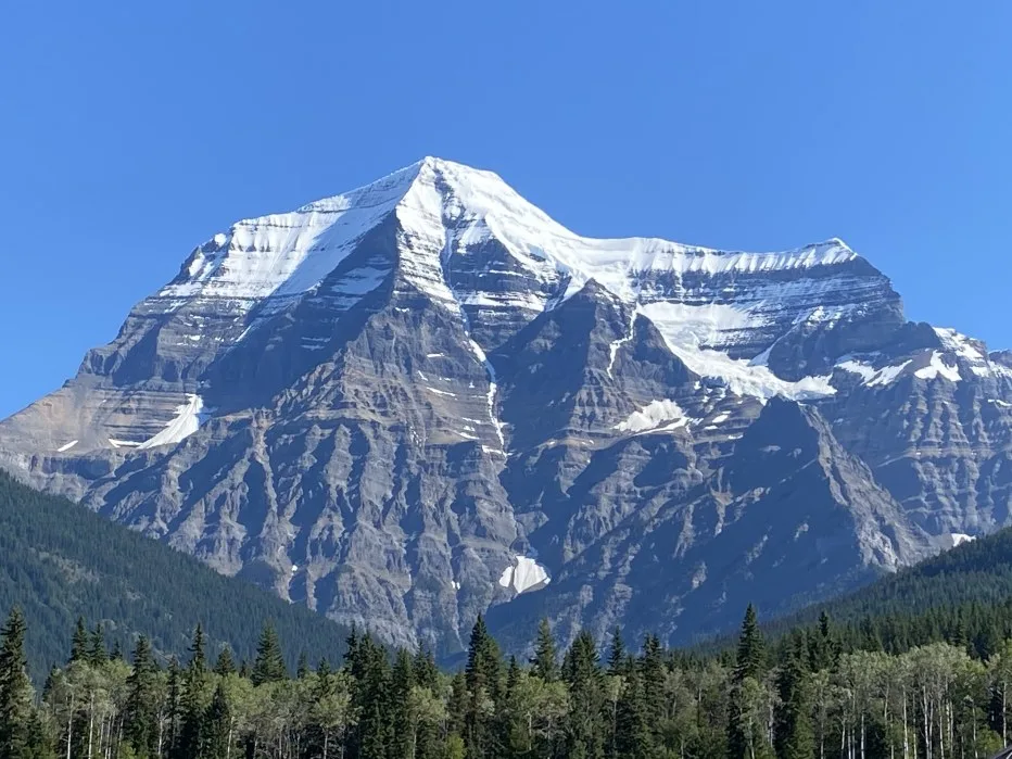
Personally, my favourite part of the province has to be the mountains. Mount Robson is the highest peak in the Canadian Rockies, standing at 12,972 feet or 3954 metres.
Below is a picture I took of this famous peak, and yes, that is our boat being hauled through the mountains.

Visit our Complete Guide to Spring 2021 for an in-depth look at the Spring Forecast, tips to plan for it and much more!
Not all mountains are created equal. Their shape and size directly affect what role they play when it comes to weather. The higher the mountain, the colder the temperature is at the summit. It's that simple. As you climb in altitude, temperatures decrease at approximately 10 C for every 1 kilometre you ascend. So, if you are 0 C at sea level, then you will be approximately -10 C about a kilometre up the mountain — and it continues to cool as you go up. At that rate, you can see how snow can really pile up, as long as moisture with a nearby storm system is present.
Simply put, when much of the province is seeing rainfall in the fall season, for example, it has already begun snowing in the mountains in September...and it doesn't stop until April.
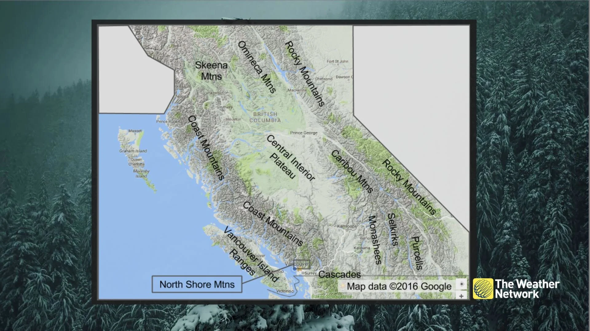
I had a chance to drive through the southern Columbias in late February, passing through three ranges: The Monashee, the Selkirk, and the Purcell. The highest peak in the Selkirks is Mount Sir Sandford, which boasts a height of 11,545 ft or 3519 metres.
Below, I am pictured next to a visitor "hut" type structure in the Selkirk Mountains, and you can see the many layers of snow that has accumulated throughout the winter (though by this point, some of it had settled and melted away).
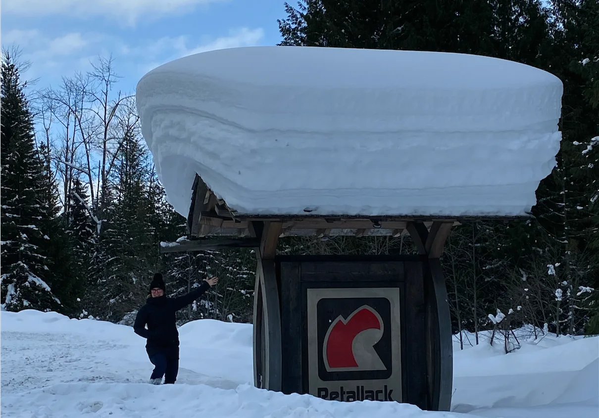
If you go to the top of the mountain, you can expect an impressive 40-60 feet of fresh pow every season on the Selkirk Mountains. That is the equivalent of 1200-1800 cm of snow!
Believe it or not, though, that’s not all good news for skiers and snowmobilers. That snow can become dangerous as different elements interact with it, especially come spring.
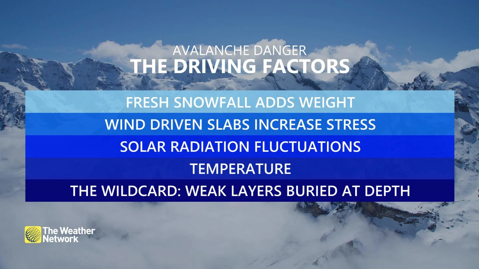
Avalanche danger increases in the spring season, and in fact, March is the deadliest month for avalanche caused fatalities. As the snow falls and accumulates in many layers over the winter, several factors end up coming into play which can make the snow unstable. Some of those factors are temperature fluctuations, the heat of the sun in the spring, and wind disrupting the snowpack. It is always a good idea to check avalanche.ca for their latest forecast and alerts before and during spending time in the mountains.
Once COVID restrictions ease, I’d recommend taking a drive through the Canadian Rockies mountain range during summer for guaranteed epic views of these national treasures.
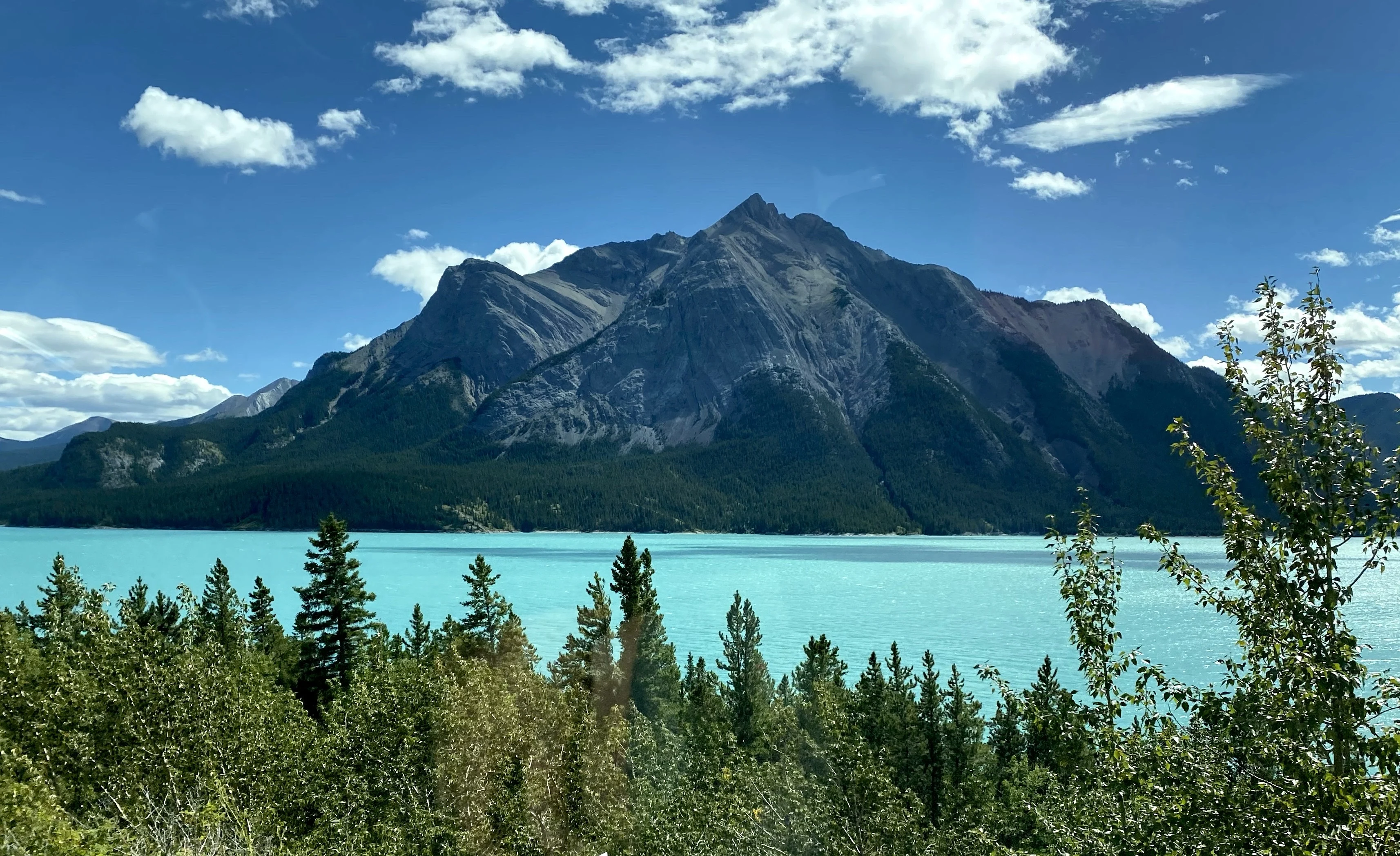
Photo taken while on the Icefields Parkway last August. Courtesy: Jaclyn Whittal


