IN PHOTOS: Southern Ontario sees first significant snowfall in 2020, records set
A snowy Saturday created treacherous conditions on the roads throughout southern Ontario, resulting in more than 250 accidents in 24 hours
Although it wasn't an epic event like the massive blizzard in Newfoundland, Saturday's snowfall was still record-breaking for two locales in southern Ontario Saturday.
Both Ottawa International Airport received 14.3 cm on Jan. 18 (19 cm from the storm altogether), setting a new daily record. The other new daily record was established at Toronto Pearson International Airport, which received 17.2 cm Saturday.
Up to 20 cm of snow was forecasted for parts of southern Ontario through Sunday morning. While the heaviest snow has tapered off, lake-effect squalls are occurring in the western GTA and portions of the southwest.
SEE ALSO: Infographic: Your winter storm checklist
The snowfall caused problems on the roads, resulting in 250 collisions in the GTA over the past 24 hours. At one point Saturday, police were responding to 40 collisions at once, according to OPP Sgt. Kerry Schmidt.
While no fatalities resulted from these accidents, but CBC reported one person was struck by a snow plow in Peel region, with the victim's condition unknown. Across the GTA, busses struggled to trek through the snow-packed streets.
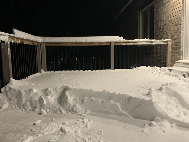
Below are some images and videos from Saturday's storm, as well as from the lake-effect snow squalls on Sunday morning, that were posted on social media.
Thumbnail courtesy of Jim.


