Last blast of warmth in southern Ontario before cold, snowy pattern hits
Take advantage of the unusual November warmth while you have it. A major pattern change will hit southern Ontario this weekend, with plunging temperatures and snowy set-up expected.
The warming trend across southern Ontario has brought the mildest start to November on record for a large swath of eastern Canada, with daytime highs soaring in the mid-to-upper teens and even reaching or surpassing the 20-degree mark for some places. The warm weather will continue across the south through Friday, ahead of a major pattern change that is expected to begin this weekend. The change will see temperatures tumble into December-like values with the threat for some heavy lake-effect snow squalls to hit the traditional snowbelts -- this will be the first major snow squall event of the season. More on the timing and impacts, below.
MUST SEE: A snowstorm and tropical system set to collide over Eastern Canada
Wednesday through Friday: Unusually warm November weather continues, eyes on Tropical Storm Nicole
After a colder, frosty start to the day on Wednesday, afternoon temperatures will be a couple of degrees warmer than they were on Tuesday, climbing even higher as the week progresses on. By Friday, daytime highs will soar well above seasonal once again, but will mark the end to the unusual blast of November warmth. You may want to use this as your milder opportunity to finish fall yard work or start your outdoor holiday displays.
Later in the day on Friday, rain is set to spread into southern parts of the region as the remnants of Nicole, a tropical system in the Atlantic, surge north.
SEE ALSO: First look at potential Atlantic Canada impacts from Nicole remnants

"We will be closely watching the track of Nicole later this week, as subtropical moisture will surge north ahead of a strong cold front as it tracks across southern Ontario late Friday night and Saturday," says Dr. Doug Gillham, a meteorologist at The Weather Network. "Heavy rain is possible for parts of the region, especially for Niagara and eastern Ontario and into southern Quebec."
This rain will bring 15-25 mm for the Greatert Toronto Area (GTA) and 30-50 mm for the Niagara region and eastern Ontario.
DON'T MISS: Why snow squalls are one of the hardest events to forecast
This weekend and beyond: December-like temperatures take hold, threat for heavy lake-effect snow
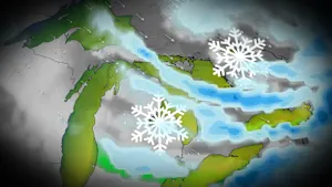
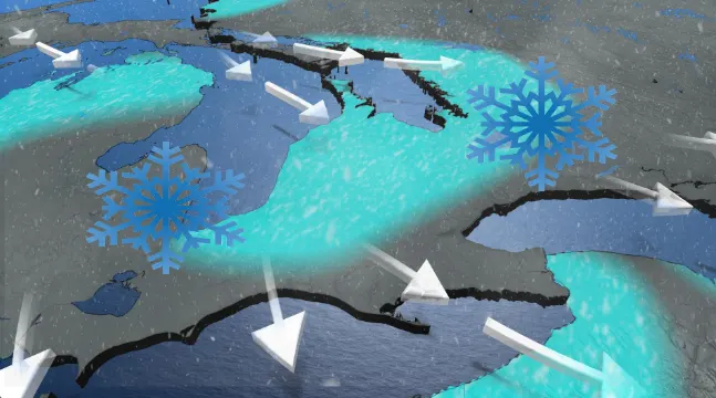
Conditions will also turn blustery and much colder behind the front, with snow flurries and lake-effect snow squalls expected to develop southeast of Lake Huron and Georgian Bay late Saturday and Sunday.
FORECAST: Potent winter-like storm threatens 30 cm of snow in northern Ontario
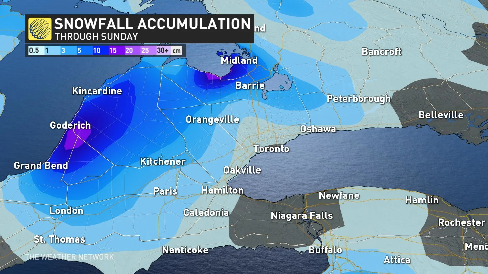
Widespread colder than seasonal temperatures are set to dominate next week and beyond, with temperatures more typical of early December at times.
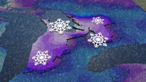
This should bring significant lake-effect snow to the traditional snowbelt areas east and southeast of the Great Lakes as it'll be a multi-day event.
Some parts of the GTA could even see flakes flying in the sky, and while no accumulations are expected, it'll serve as a reminder that winter is indeed on its way.
Be sure to check back for the latest weather updates across Ontario.


