Massive system threatens major snowfall totals, dangerous travel on the Prairies
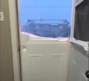
Brace for power and travel disruptions as a large and potent storm takes aim at the Prairies this week. Heavy snow and blizzard-like conditions are the main threats
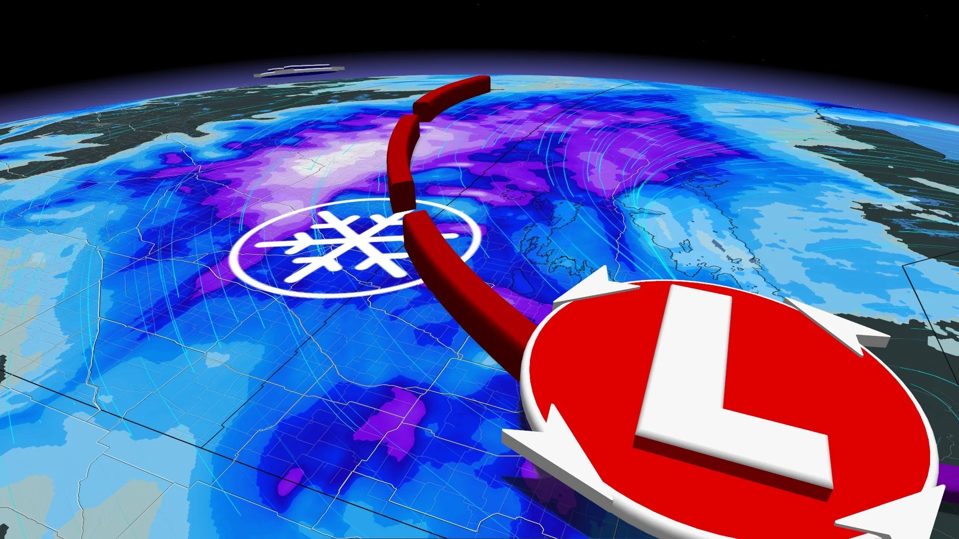
The snow on Saturday was just a taste of what’s on the way across the eastern Prairies. Some Pacific energy is going to meet up with a Texas low, which will stall across southern Manitoba through Wednesday.
Meanwhile, the first snowfall warnings of the season for southern Alberta were issued first thing Monday, with impacts to travel and much slower commute times during the day.
DON’T MISS: Why the first snowfall of the season can catch drivers by surprise
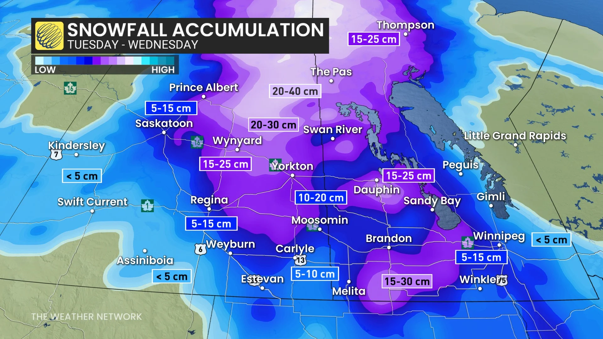
Dangerous blizzard-like conditions are now expected to impact the eastern Prairies on Tuesday, as a formidable Texas low roars onto the region. Some areas are in line to see 15-30 cm of snowfall, with considerable travel disruptions possible for the hardest-hit regions.
Be mindful before heading out on the roads, and adjust your travel plans accordingly as blowing snow is likely.
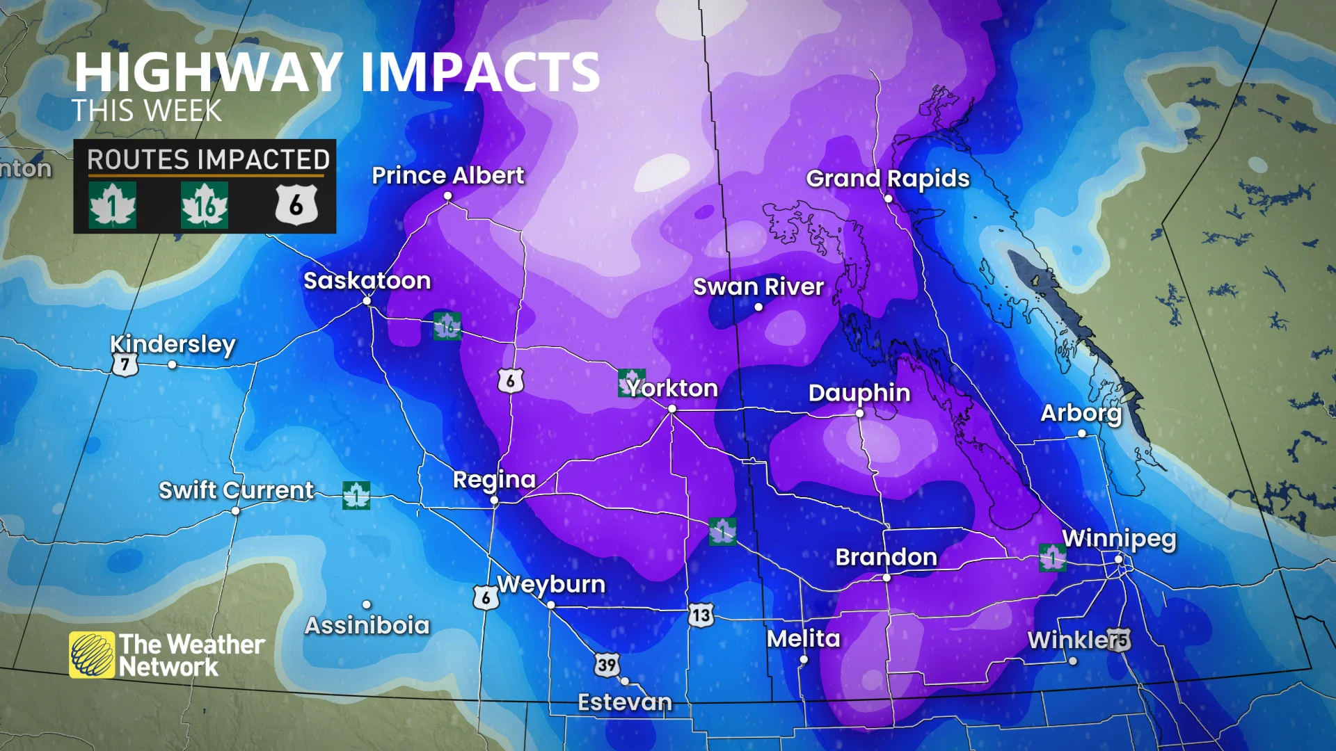
In addition to travel issues, power outages are possible as gusty winds and heavy, wet snow add stress to trees and power lines. Winter storm watches and warnings are in place for parts of Saskatchewan and Manitoba.
WATCH: New Calgary snow-shovelling bylaw aims to help with mobility
Tuesday to Wednesday: Dangerous blizzard-like conditions take shape
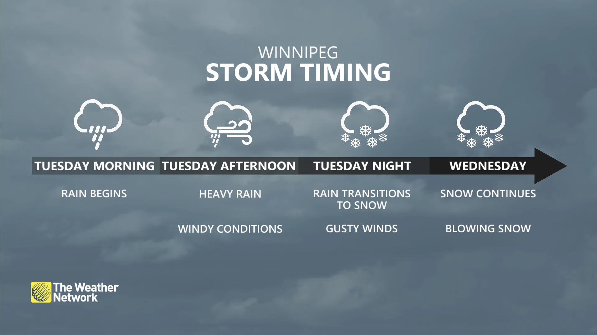
Powerful winter conditions will span the eastern Prairies on Tuesday, as a strong, low-pressure system approaching from the south brings rain, freezing rain and snow. Precipitation in many areas will likely start out as rain before transitioning to snow as colder air gets wrapped into the system.
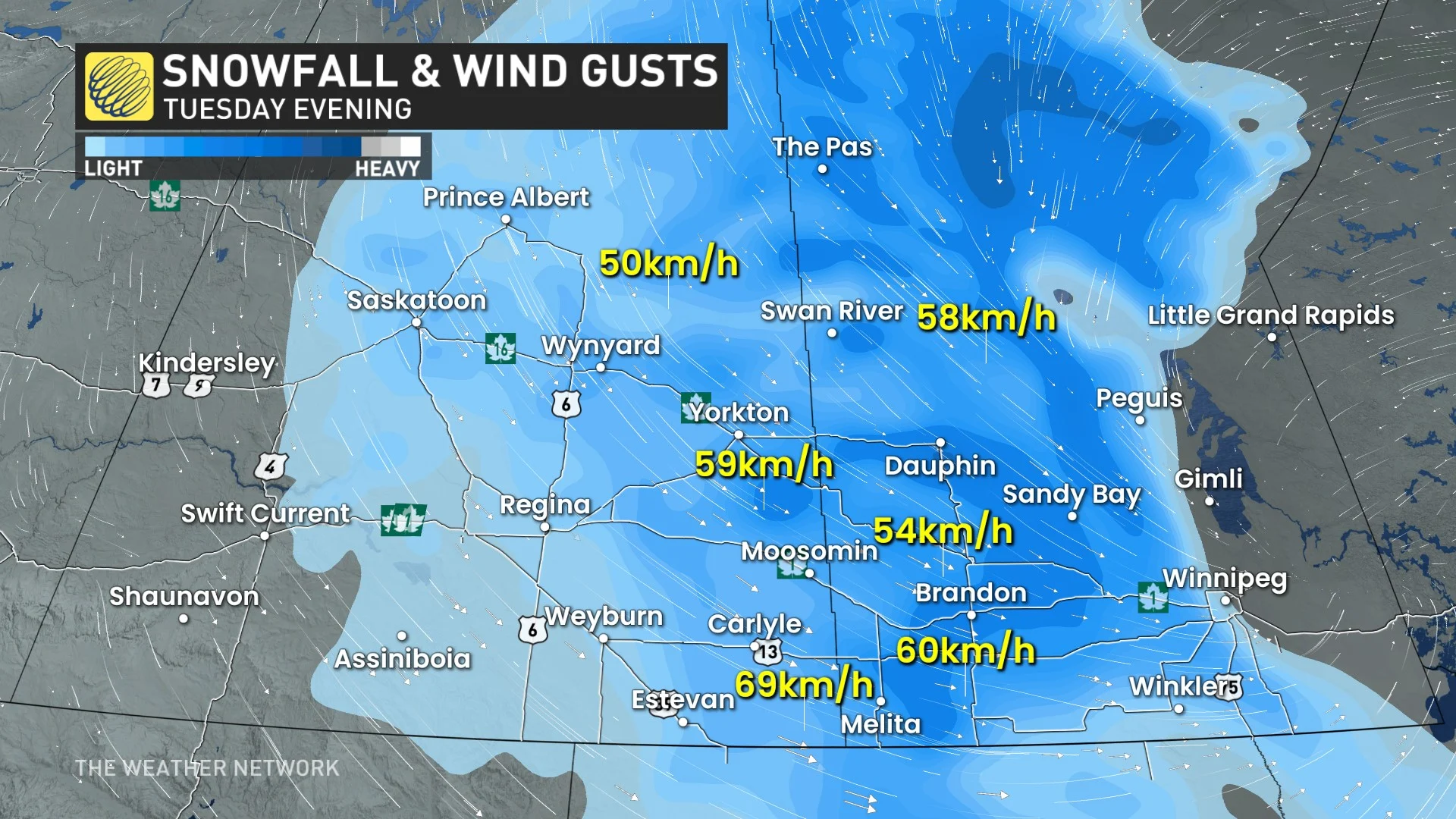
Periods of snow will develop across eastern Saskatchewan and fill in across southwestern Manitoba through early Tuesday, with sustained winds pushing at about 40 km/h out of the northwest. That will lead to reduced visibility and blowing snow concerns.
Brandon, Man., could start Tuesday morning with a period of freezing rain, creating some slippery surfaces, but expect a heavy snowfall changeover by the afternoon.
The rain-snow line will slide east through the afternoon, pushing as far east as Sandy Bay First Nation and Winkler, Man. by Tuesday evening, then will shift farther east overnight.
MUST SEE: Will winter redeem its reputation? A sneak peek at winter 2024-25
Winnipeg, Man., is forecast to see rain through Tuesday, but will then transition to snow Tuesday night.
Heavy snow is expected along the Saskatchewan and Manitoba border, with 15-30 cm forecast. Both Regina and Winnipeg are expected to see lesser amounts of 5-15 cm, with rain also expected as the system begins to move in Tuesday morning.
Blizzard conditions are possible into Tuesday evening as wind gusts hit 40-60+ km/h for several hours. Expect near-zero visibility along the provincial borders.
"Travel is expected to be hazardous due to reduced visibility in some locations," says ECCC in a winter storm watch issued for western Manitoba. "Avoid travel if possible."
Road closures are possible due to the deteriorating and dangerous conditions. Heavy, wet snow can also cause additional issues on the power grid.
Much colder, Arctic air will filter in behind the system, with daytime highs in the -5 to -10 range.
Beyond, a more wintry pattern is expected to spill into the final week of November.
Stay with The Weather Network for all the latest on conditions across the Prairies.


