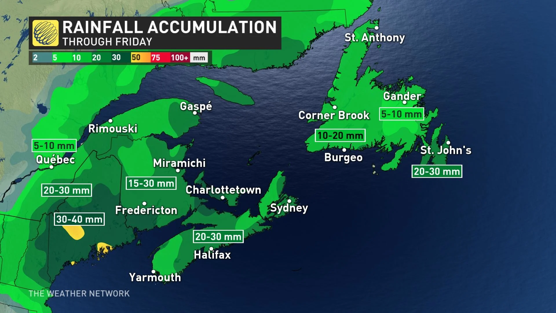
Rain amounts could exceed 50 mm on parts of the East Coast
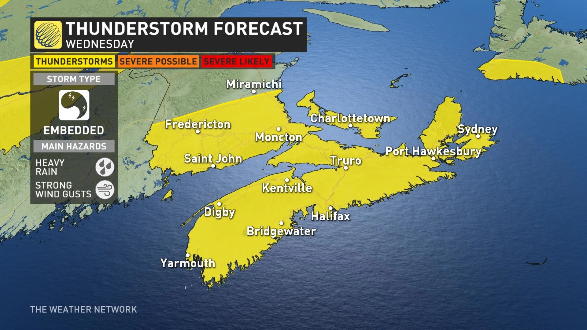
A slow-moving upper low brings occasional showers with embedded thunderstorms across Atlantic Canada through Thursday.
Parts of Atlantic Canada are in dire need of rainfall and that's what is coming through the day on Thursday. An area of low pressure began to spread rain into the Maritimes early Wednesday morning, with the threat to become become heavy at times, likely embedded with thunderstorms that could give very high amounts in a short period of time. As a result, localized flooding is a concern. However, some areas will miss out on the beneficial deluge all together. More on the timing and impacts of the rainfall, below.
SEE ALSO: The top waterproof backpacks for students of all ages
This week: Heavy rain spreads across Atlantic Canada, thunderstorm threat included
In what's been an exceptionally dry month so far across parts of Atlantic Canada, a low pressure over the region will track north into the region this week bringing widespread beneficial rain and cooler temperatures to the coast.
Rain showers started to move in on Wednesday morning in Nova Scotia, set to spread across New Brunsiwck and Prince Edward Island through the day, lasting into parts of Thursday, as well.
Environment and Climate Change Canada (ECCC) has issued special weather statements for parts of Nova Scotia and New Brunswick.
"Weather systems of this nature can cause a significant amount of rain to fall in a short period of time leading to localized flooding and sharp reductions to visibility," says ECCC in the statement, adding that amounts could possibly exceed 50 mm locally.

Nova Scotia has been quite dry for the past 30 days, so this rain will be welcomed for the region.
The rain will also spread into Newfoundland's Avalon Peninsula on Wednesday, but the central and western areas will have until Wednesday overnight for the much needed moisture to start.
"As the rain continues on Thursday for central Newfoundland, this rain will be rather helpful for the ongoing wildfires across the region," says Matt Grinter, a meteorologist at The Weather Network.
There could also be embedded thunderstorms aross much of the Maritimes, with a non-severe risk spanning all three provinces.

WATCH: As dry conditions persist some Halifax wells are coming up empty
As the low departs, some unsettled conditions will persist into Saturday with scattered showers likely. After a temperature dip with this system, much warmer weather will also return for the weekend, with widespread temperatures into the upper 20s, and a few spots possibly reaching 30°C for the Maritimes.
Another round of showers and thunderstorms is possible mid- or late next week with a cold front tracking across the region.
Be sure to check back for the latest weather updates across the East Coast.


