Toronto soars past average snowfall, even without consistent cold
There's been a lack of consistent arctic air so far in southern Ontario this winter, but still with above normal snowfall totals for some major cities, including Toronto.
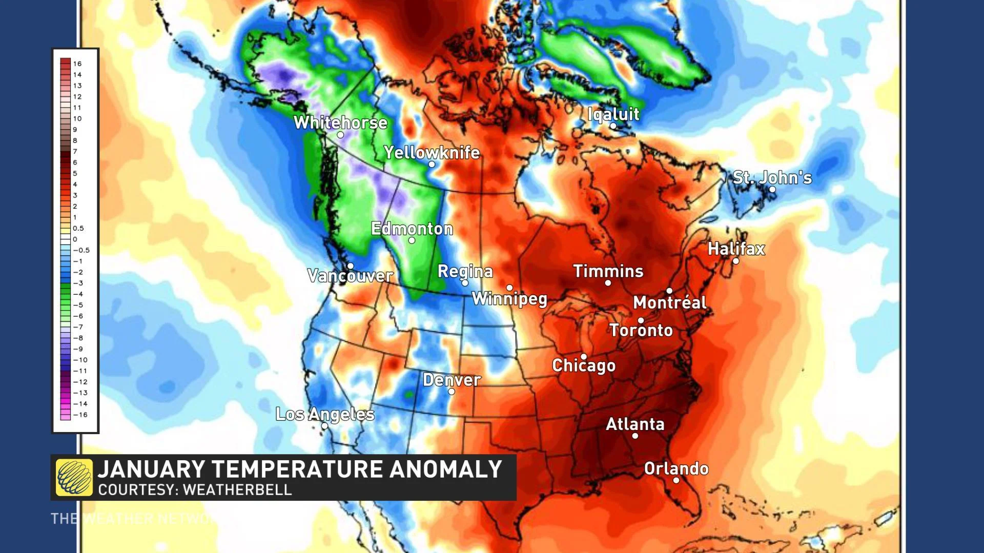
Aside from the frigid conditions that ended last week and that have started this new week ahead as well, there's been a lack of true Arctic-sourced air present for much of the region so far this winter. But it's that lack of colder weather that could be to blame for the rounds of heavy snow that have fallen at times throughout the season.

"Normally, when Arctic air is present, we are dominated by high pressure and a lack of active weather, while this season we have seen the storm track bring snow and rain through the Great Lakes instead," says meteorologist Jaclyn Whittal.
That's what has contributed to Toronto seeing 152 per cent of its average snowfall for the season through January 19. The city of Ottawa is also currently at 95 per cent of its average snowfall for the same period.
The air, however, has been far from frigid for the region.

"The coldest air has been locked in the west, and we have consistently seen above seasonal temperatures in southern Ontario," Whittal adds. "So any storms that we have seen, we have had just enough cold air to work with to create snow, though it's been tough to keep any of it around because of how quickly we warm up soon after."
GREAT LAKES ONLY ABOUT 10 PERCENT COVERED
As a result of the warm pattern, the Great Lakes are also only 10 per cent covered, down from 18 per cent at this same time last year. This means when we get blasts of short-lived cold air, we can also expect to get more lake-effect snow -- at a time of the year when the lake-effect snow action would be typically winding down.


