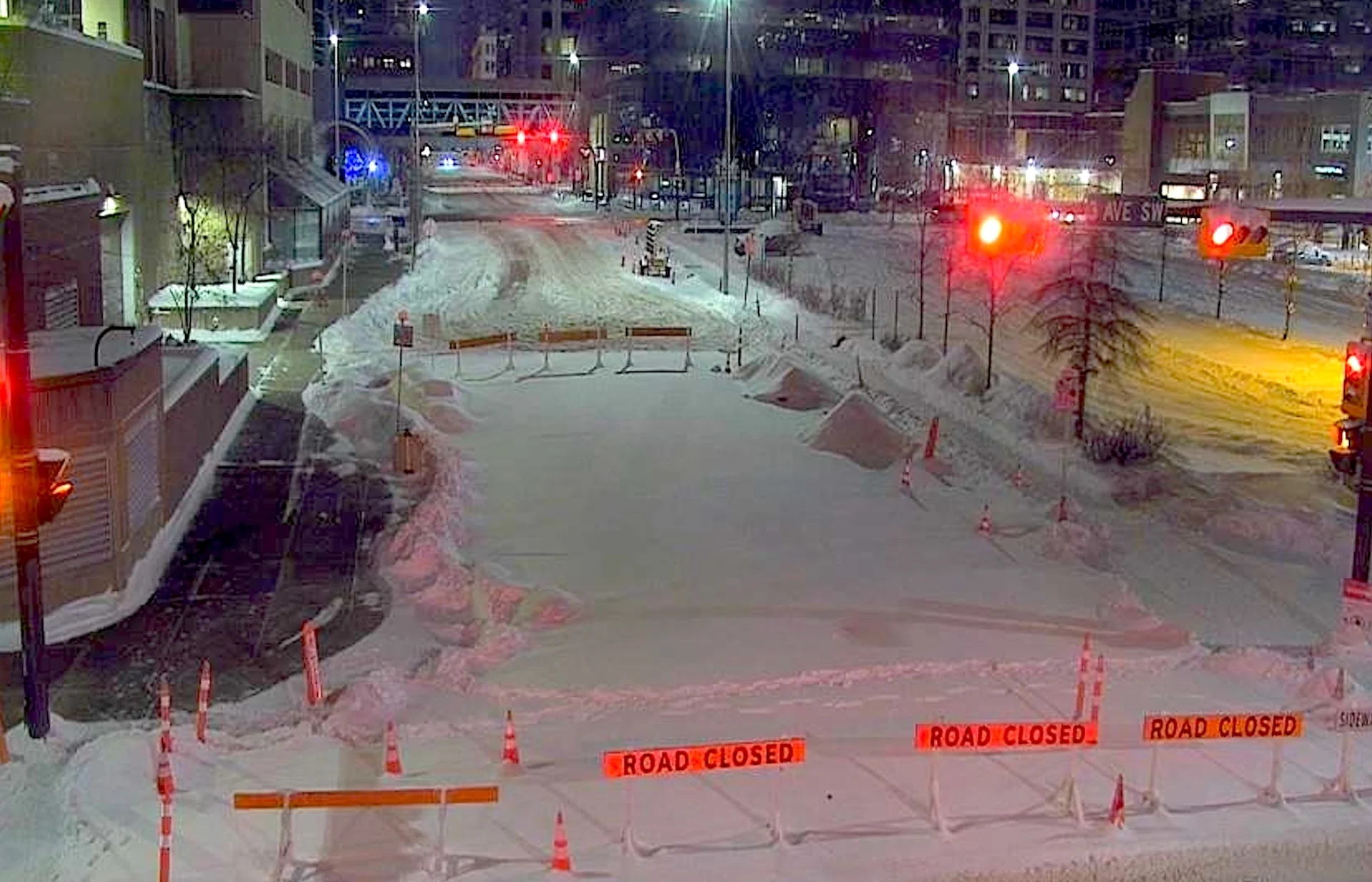
PHOTOS: Prairies snowstorm packs a wintry, chilly wallop as totals pile up
A late-fall, potent snowstorm brought notable accumulations and significant travel problems across the Prairies this weekend
A considerable snowstorm this weekend has put the Prairies on notice that winter isn't far away, and the region can expect more of this weather in the months to come.
The storm, which began in earnest on Friday night in southern Alberta, ramped up on Saturday across much of the region and through central and southern Saskatchewan, and is now making its impacts felt in southern Manitoba on Sunday.
DON’T MISS: Travel remains treacherous on the Prairies as potent snowstorm rolls on
Roads are still snow-covered and reduced visibility has been reported throughout much of southern Alberta and southern Saskatchewan throughout the storm. Conditions in southern Manitoba have now begun to deteriorate as the storm moves eastward.
Numerous collisions were reported, including in the city of Calgary, as a result of the snow and the slippery road conditions it produced.
Snowfall totals in Alberta have started rolling in to Environment and Climate Change Canada (ECCC) as of Saturday evening. Some impressive totals to date include 20 cm and 30 cm, in western and northeastern Calgary, respectively, 26 cm in Beaver Mines, 23 cm in Waterton, 22 cm in Milk River, 20 cm in Wainwright, 19 cm in Edmonton and 18 cm at the Calgary airport.

By the end of the storm, final totals of 30-40 cm of snow are possible from southeastern Alberta through southern Saskatchewan, including the cities of Saskatoon and Prince Albert. Regina may be on track for 20-30 cm of snow by the end of the storm. We’re looking at totals closer to 5-10 cm farther east toward Winnipeg.
While some snowfall warnings have been dropped in southern Alberta, some continue in the eastern section along the Saskatchewan border, extending across into Manitoba as the disruptive storm continues its eastward track.
Although the majority of the snow will wrap up by Sunday afternoon, drifting snow will make travel tough across Saskatchewan.

The storm will quickly become moisture-starved Sunday, and will be far from an impactful storm by the time it reaches northwestern Ontario Ontario.
Blustery winds of 30-40 km/h will cause blowing snow and reduced visibility. Drivers are being urged to prepare for quickly changing and deteriorating travel conditions.
"Visibility may be suddenly reduced at times in heavy snow," says Environment and Climate Change Canada (ECCC) in the snowfall warning. "Surfaces such as highways, roads, walkways and parking lots may become difficult to navigate due to accumulating snow."
While Edmonton fell short of 20 cm, the last time the city saw that much snow was on April 15, 2002 when 23.7 cm fell. Meanwhile, you'd have to head back even further for 30 cm of snowfall, and that was when 36.2 cm hit the region on April 6, 1991. That was, in fact, the largest, single-day snowfall ever recorded for Edmonton airport.
RELATED: More than 12 cars involved in snowy pileup east of Calgary
Once the snow started falling, it didn't take long for the visuals to surface on social media. Below is a selection of photos and videos making the rounds on X.
Thumbnail courtesy of City of Calgary Transportation.
Stay with The Weather Network for all the latest on conditions across the Prairies.


