Rafael becomes major hurricane ahead of Cuba landfall, millions at risk
Rafael is now a Category 3 hurricane as it nears the coast of western Cuba, and is expected to bring life-threatening storm surge, damaging, hurricane-force winds and flash flooding to portions of the country
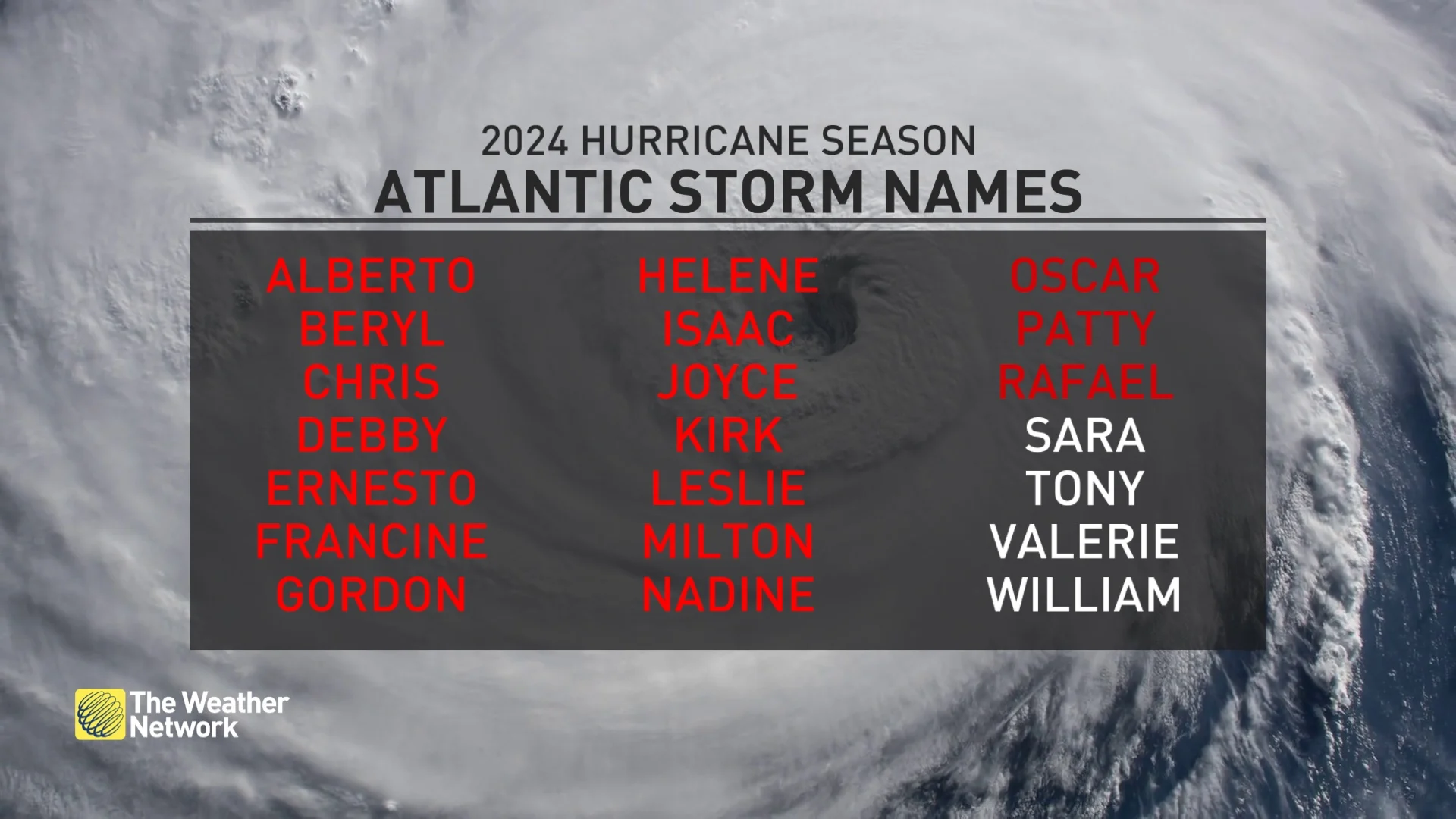
Rafael, the 17th named storm of the Atlantic hurricane season, continued to pick up steam Wednesday, strengthening into a major, Category 3 hurricane ahead of a western Cuba landfall.
Life-threatening storm surge, damaging, hurricane-force winds and flash flooding are expected in portions of the country.
DON'T MISS: Autumn can still produce intense hurricanes across the Atlantic
A hurricane warning remains in effect for the Cayman Islands, as well as the Cuban provinces of Pinar del Rio, Artemisa, La Habana, Mayabeque, Matanzas, and the Isle of Youth. A tropical storm warning also covers the Cuban provinces of Villa Clara and Cienfuegos.
A tropical storm warning has been issued for the Florida Keys, as Rafael moves into the southeastern Gulf of Mexico later Wednesday, and threatens heavy rain and stormy conditions, including tornadoes, across parts of south Florida.
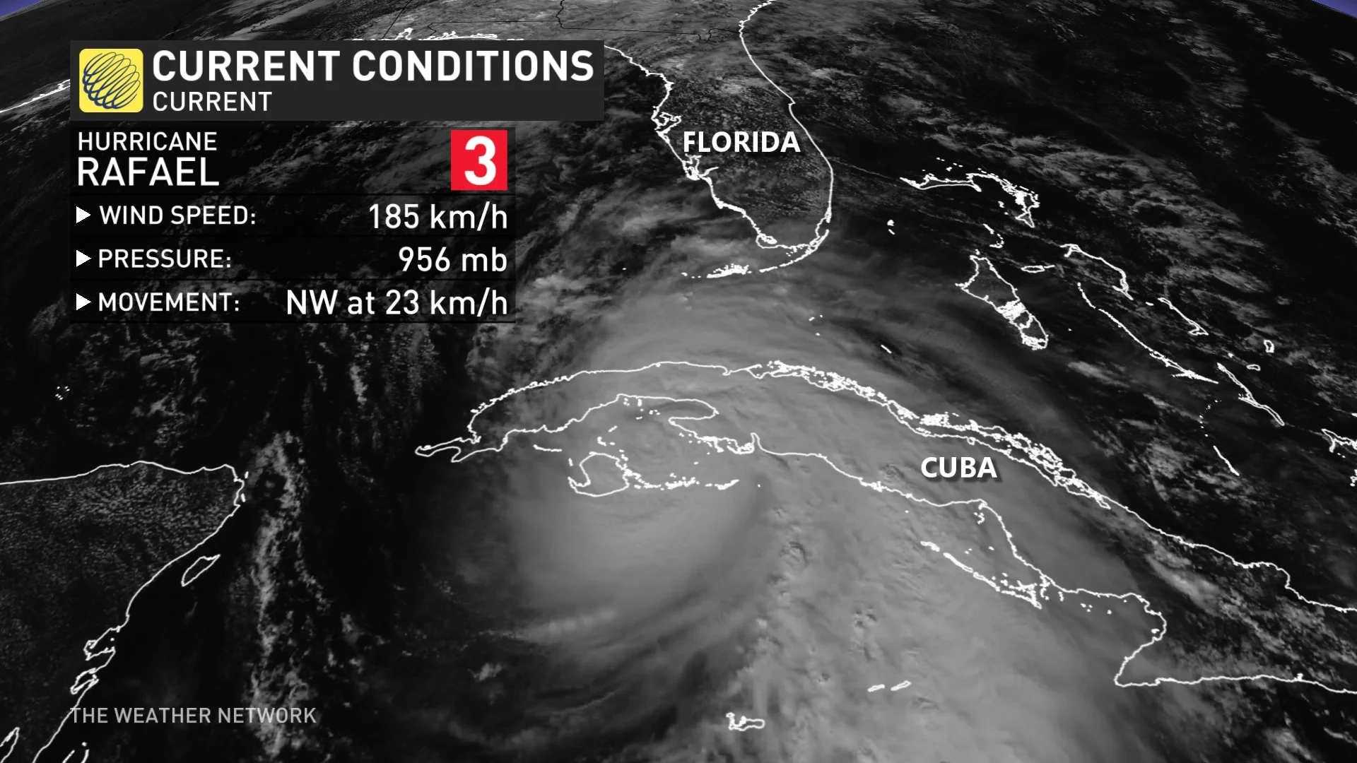
Rafael reaches major hurricane strength ahead of landfall in western Cuba
Hurricane Rafael will make landfall Wednesday afternoon in western Cuba, continuing to impact millions, including its capital city of Havana. It has now reached Category 3 strength, a major hurricane, with maximum, sustained winds of near 185 km/h, with higher gusts.
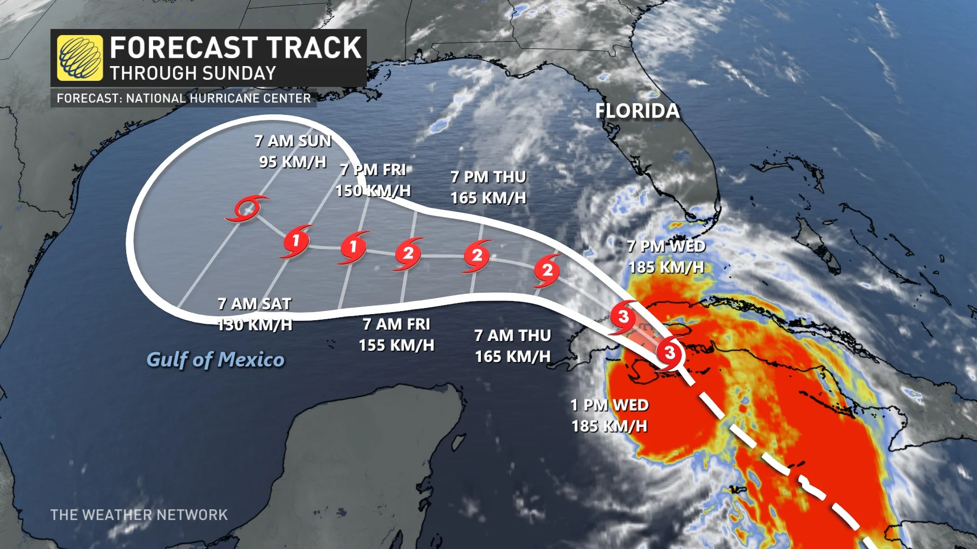
"Some additional strengthening is likely before Rafael makes landfall in Cuba this afternoon. Rafael is forecast to weaken over Cuba but is expected to emerge into the southeastern Gulf of Mexico as a hurricane," said the U.S. National Hurricane Center (NHC) in its Wednesday afternoon update.
Heavy rainfall will impact the Western Caribbean through early Thursday, particularly across Jamaica, the Cayman Islands, and into southern and western portions of Cuba, the NHC says.
Rainfall totals of 100-200 mm are expected, with isolated higher totals up to 300 mm anticipated across areas of higher terrain. These significant rainfall totals could lead to areas of flash flooding and mudslides.
Across the Cayman Islands, additional rainfall of 50-100 mm is expected.

Storm surge could raise water levels by as much as 2.5 to 3.5 metres above normal tide levels in areas of onshore winds along the southern coast of Cuba. That includes the Isle of Youth.
Swells generated by Rafael are likely to cause life-threatening surf and rip current conditions.
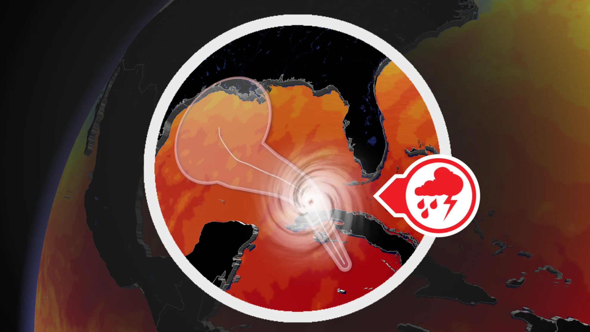
On the forecast track, Rafael is expected make landfall in western Cuba this afternoon. Rafael is forecast to move into the southeastern Gulf of Mexico tonight.
Florida tornadoes possible within outer bands of Rafael
While exact landfall locations and impacts currently remain uncertain in the southern United States, heavy rain is likely to spread north into Florida and adjacent areas of the U.S. Southeast late week. A dominant Bermuda high will be instrumental, and will help to steer Rafael to the northwest, sparing most of Florida from major hurricane impacts.
There is a slight risk for severe thunderstorms as the outer convective bands of Rafael move across the Keys and extreme southern Florida later Wednesday afternoon.
"Current track suggests severe probabilities will not need to be expanded north across the Peninsula as strongest shear will remain offshore across the Gulf Basin," said the U.S. Storm Prediction Center in its Wednesday morning update.

Some tornadic threats will exist in the strongest, most organized convection, especially across the Keys. Rainfall totals of 25-75 mm are expected for the Lower and Middle Florida Keys.
MUST SEE: Why focusing on a hurricane’s category is downright dangerous
Impacts to the Gulf states are still highly uncertain, with the spaghetti model showing divergent routes. Some loop into Louisiana, while others keep the storm on a path west into Mexico.
A ridge building by the weekend may tip guidance farther west, impacting Texas or Mexico into next week.

The hurricane season slowed down in August, which is quite unusual. The peak of hurricane season occurs around Sept. 10. However, tropical activity resumed at the end of the season with about 10 storms named since Sept. 24. This is a record according to specialist Phillip Klotzbach.
The Atlantic hurricane season officially runs through Nov. 30, though it’s still possible for storms to form after that date.
