Storm risk creeps into Alberta and Saskatchewan with influx of rainfall
A pattern change on the Prairies will be a tale of two seasons with warmth for some, cool temperatures for others and a lot of rain for many
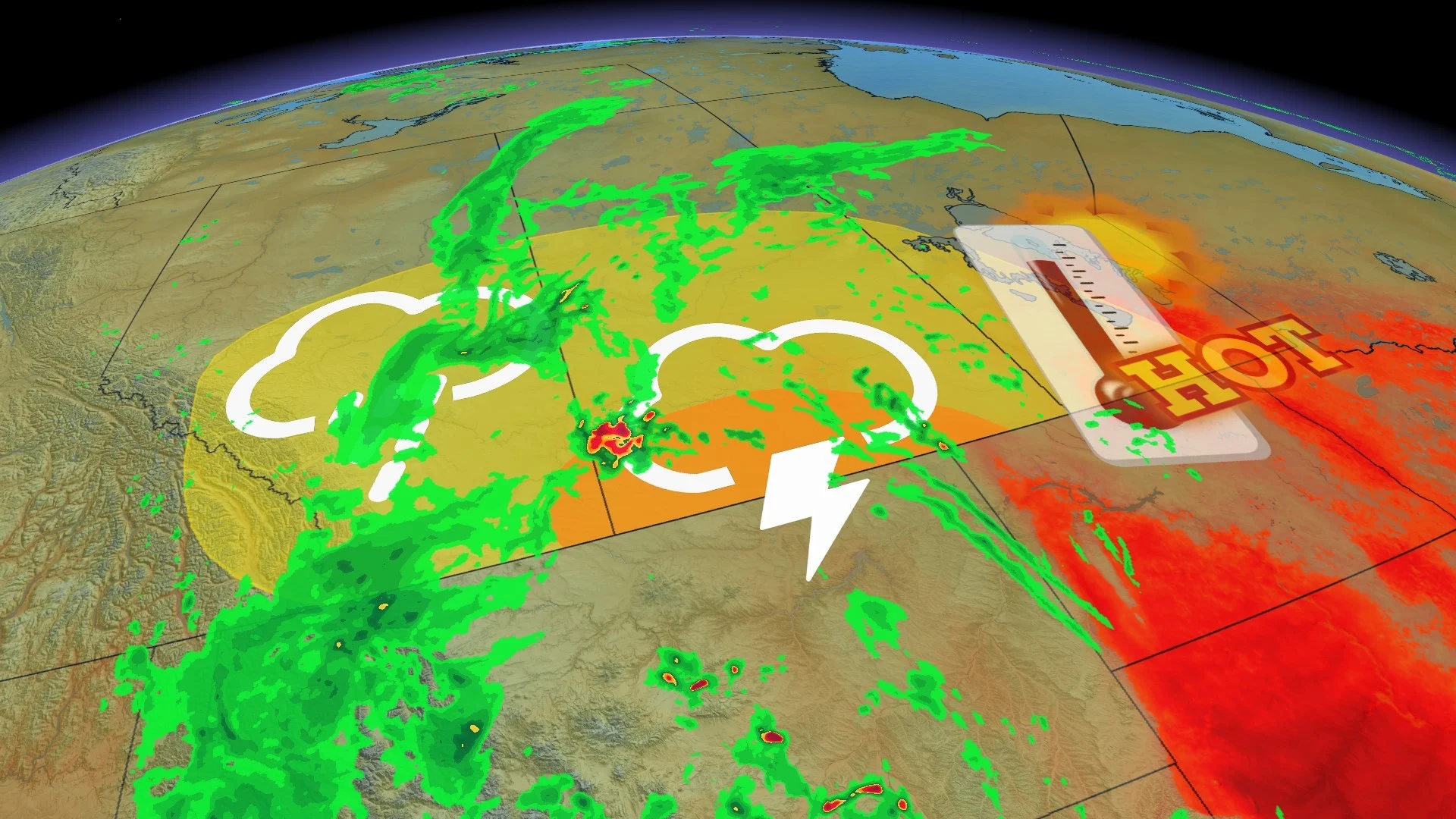
A period of unsettled weather will be a double-edge sword on the Prairies, with heavy rain a welcome relief for some, but it could pose problems in other locales by raising the flooding risk.
The rain is part of an underway pattern change in the short range, with temperatures becoming much cooler for western areas and more unsettled across the region.
Visit our Complete Guide to Fall 2024 for an in-depth look at the Fall Forecast, tips to plan for it and much more!
Some areas along the Alberta-Saskatchewan border could accumulate 30-50+ mm of rainfall through Friday morning, accompanied by a thunderstorm risk on Thursday.
The rain will be beneficial for northern sections of Saskatchewan still dealing with ongoing wildfires, but also heightens the threat for localized flooding in some of the harder-hit areas. Be sure to stay alert to the changing conditions and any watches and warnings that are issued in your area.
Through Friday:
The heaviest rain and impacts will be widely felt through Thursday. That's as a slow-moving, low-pressure system pushes north of the U.S. border, spilling heavy rain at times during Thursday and Friday. A weak cold front will reach Manitoba by Friday
The rainfall intensity will increase in several rounds.

By Thursday morning, heavy rain will spread across southern Alberta, including the city of Calgary.
Heavy rain, and possibly severe thunderstorms, will take aim at southern Saskatchewan Thursday afternoon, lifting north into Saskatoon by the evening hours. Severe storms are possible for southern Saskatchewan due to the risk of strong winds and hail. The tornado risk will remain stateside.

In addition to heavy rain, strong winds and large hail are the main risks with any storms that develop.
While there's still some uncertainty with exact rainfall totals and locations, a widespread 10-20 mm of rain is likely, with heavier amounts exceeding 30-50+ mm possible along the Alberta and Saskatchewan border. Higher rainfall totals are possible in embedded thunderstorms.

Summer versus fall: The temperatures say it all
A large temperature contrast will span the Prairies, as well, essentially bringing two different seasons to the region.

Much of Alberta will get an early taste of fall, remaining seasonably cool for most of this week. Calgary will sit about 7°C cooler than normal. Meanwhile, parts of Manitoba will certainly enjoy a late blast of summer heat as temperatures soar close to the 30-degree mark.
For more on exactly what to expect, be sure to check out our official 2024 Fall Forecast.
Due to the track of the storms northward into Nunavut, temperatures will remain well-above normal for Manitoba and northwestern for the next 10 days.