Heat fuels another opportunity for severe weather in southern Ontario
Be sure to remain weather-aware at all times on Tuesday in southern Ontario as the risk for severe weather will reappear
Rounds of thunderstorms kicked off this new work week across Ontario, with flash flooding occurring in multiple locations in the southern sections.
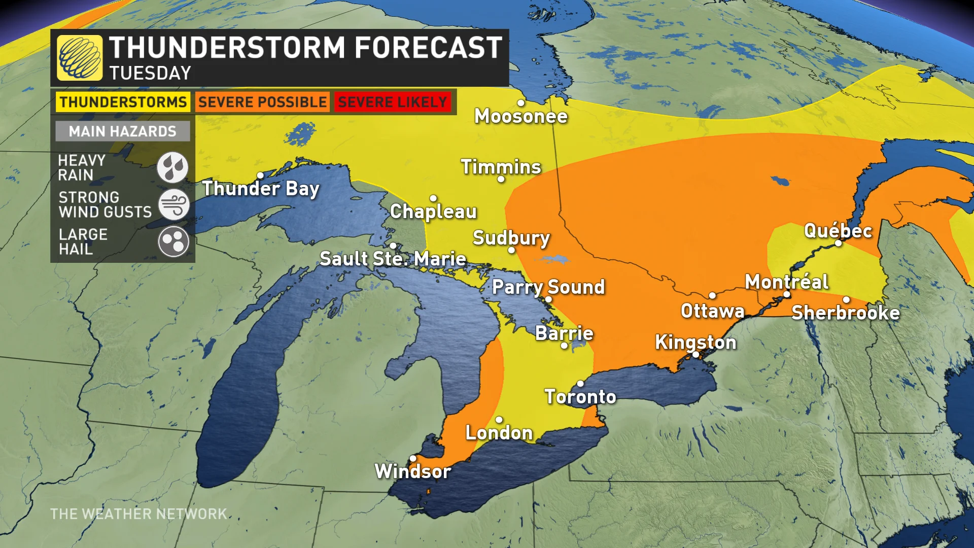
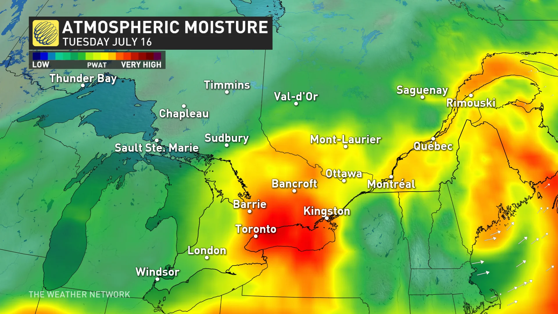
The threat will continue through Tuesday as the pattern remains favourable for development of storms alongside a passing cold front, potentially becoming severe in parts of Ontario.
DON'T MISS: 'Training' thunderstorms lead to flash flooding in Ontario, but what are they?
Keep a close eye on the radar throughout the day across southern and eastern Ontario, especially if your plans take you outdoors. Never try to drive across a flooded roadway. It’s impossible to tell how deep the water is until it’s too late.
Below is a closer look at the forecast over the next couple of days.
Tuesday: Storm risk continues
Thunderstorms are forecast once again on Tuesday as the low brings the cold front into Ontario and southern Quebec.
DON'T MISS: How severe weather alerts are issued, and potentially save lives
There is the risk of severe weather with these storms, mainly heavy rain, nickel-size hail and strong wind gusts.

Storms that track into eastern Ontario have the potential to bring rotation, however, with overnight and morning storms. But there is low confidence in that occurring.
There is also the chance for a second round to develop in southwestern Ontario, but check back on Tuesday as there is uncertainty in the location.

Residents are reminded to exercise extreme caution around all local waterways as the heavy rain may further increase water levels and elevate the risk of localized flooding across southern Ontario.
SEE ALSO: Two 'surprise' tornadoes hit southern Ontario as Beryl remnants passed through
"The public is encouraged to exercise extreme caution around all local waterways," says the Grand River Conservation Authority in a statement. "Banks adjacent to rivers and creeks are very slippery and, when combined with fast-moving water, pose a serious hazard. Parents are reminded to keep their children and pets away from all watercourses. Recreational users on local waterways should be aware of the current conditions and exercise additional caution."
WATCH: Messy storm brings heavy rain to southern Ontario
On Wednesday, temperatures will fall substantially behind the cold front, dipping below seasonal for the remainder of the week. So far this month, there have been only three days that have brought below seasonal temperatures during these first two weeks.
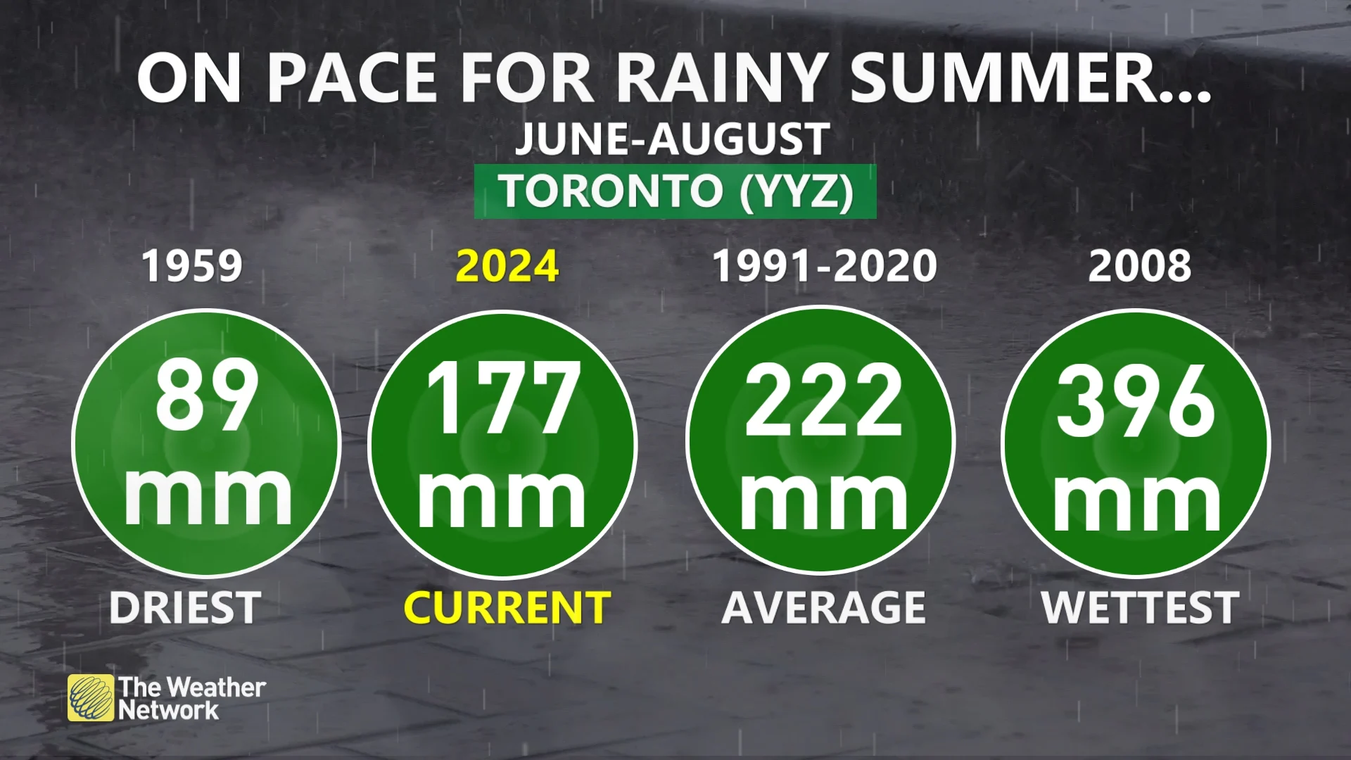
Toronto on pace for one of its wettest summers on record
The constant rounds of thunderstorms over the past couple of weeks have pushed Toronto in range of potentially logging one of its wettest summers on record. We've seen 177 mm of rain so far this season, which isn't too far off the seasonal average of about 222 mm in the gauge at Pearson International Airport.

We'll likely add to those totals on Tuesday as another stormy setup grips the region.
Gorgeous summer weather is expected by Saturday, with abundant sunshine and seasonal temperatures with highs in the upper 20s. A weak cold front is expected to drop south across the region during Saturday night with a period of showers and thunderstorms. On Sunday and Monday, partly sunny conditions and cooler highs in the lower 20s are forecast.
Pleasant weather is expected for most of next week with no significant heat expected. A somewhat drier pattern than what we have seen for most of the summer so far is also likely, though things won't be completely dry.
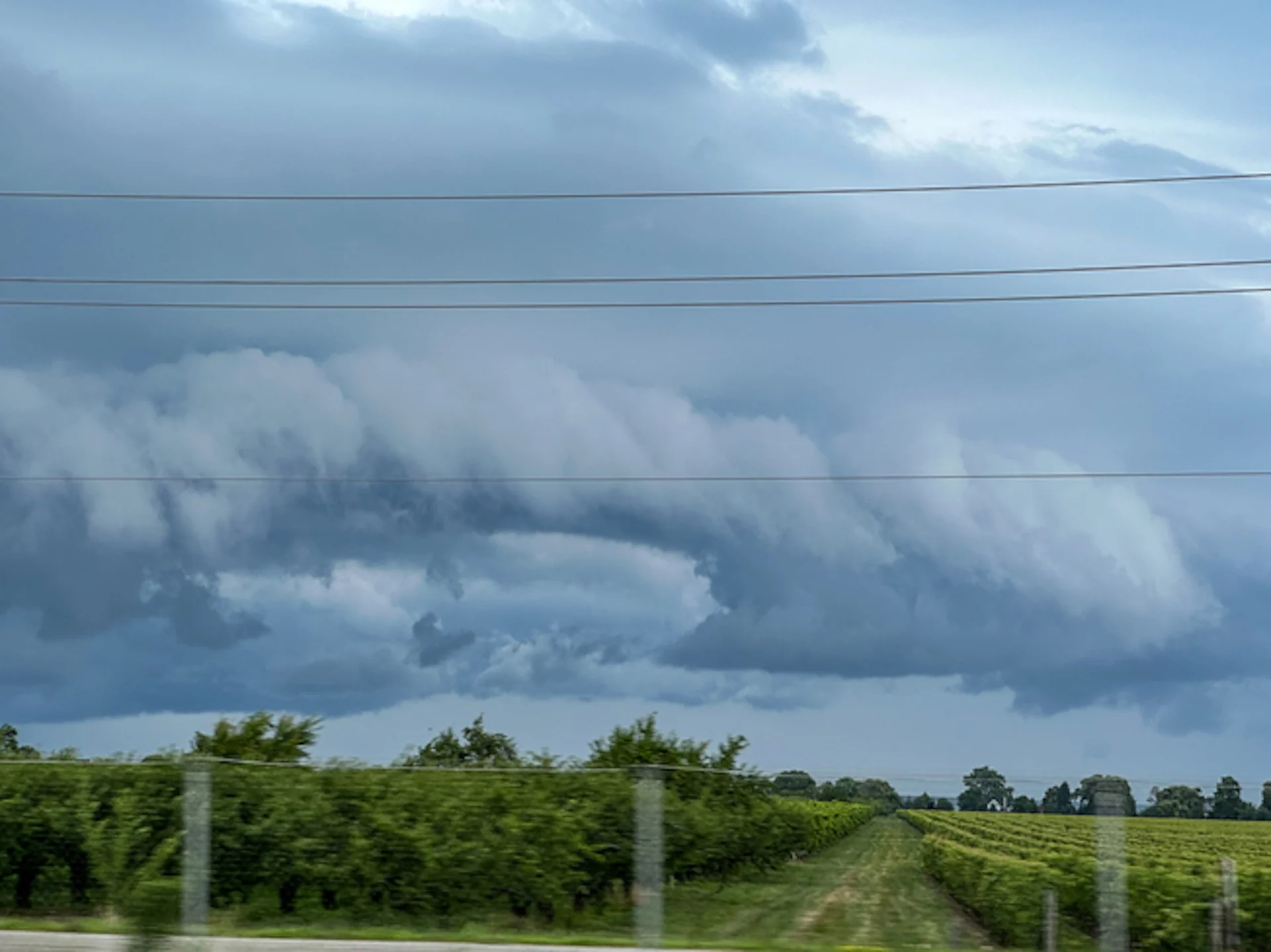
Thumbnail courtesy of Victoria Ck, taken in St. Catharines, Ont.
Stay with The Weather Network for all the latest on conditions across Ontario.


