Shifting target puts severe weather risk into Saskatchewan, Alberta
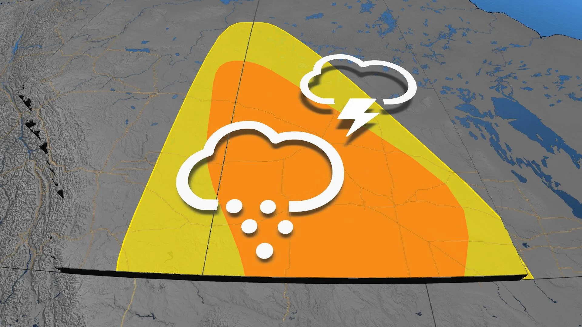
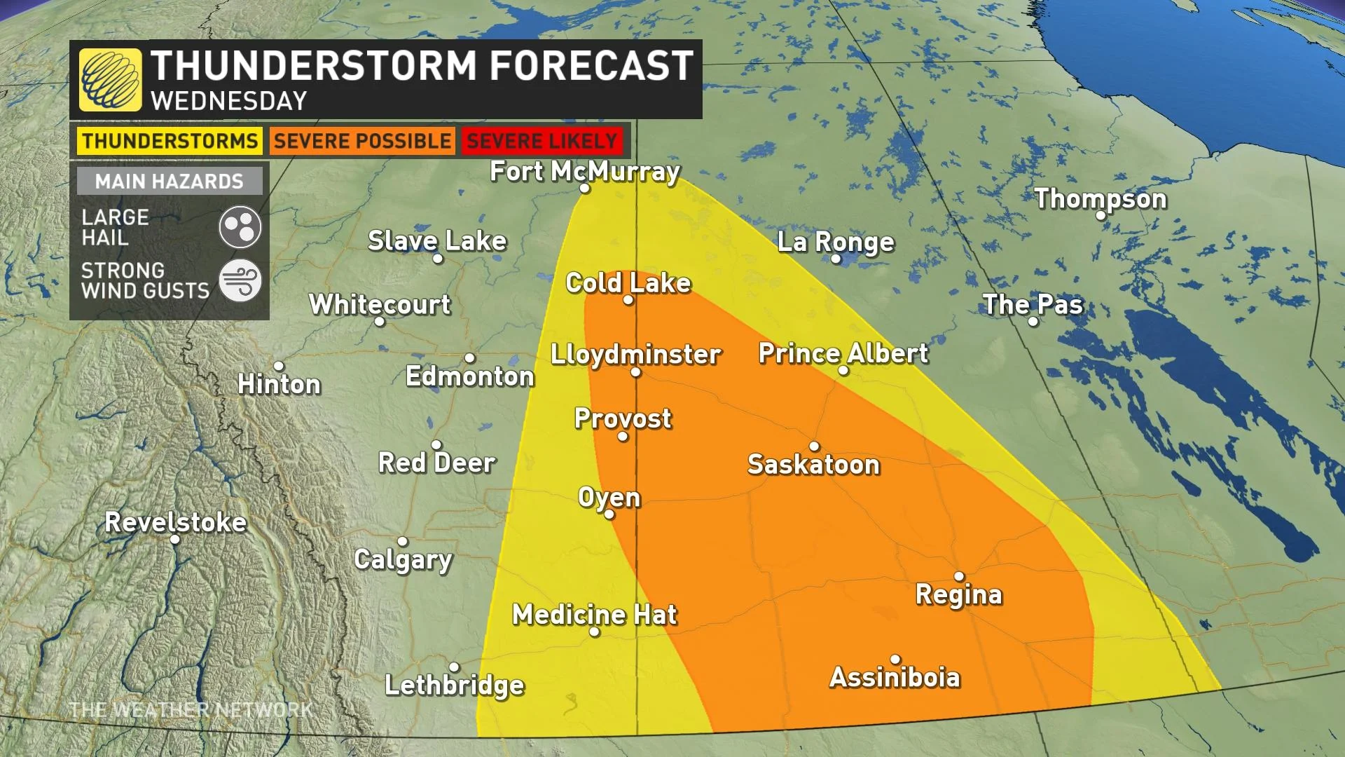
Wednesday will see the severe storm threat shift on the Prairies, bringing the chance into Saskatchewan and Alberta where there will be the risk for strong wind gusts and hail for some areas
Visit The Weather Network's wildfire hub to keep up with the latest on the active start to wildfire season across Canada.
The summer-like warmth and yet another low-pressure system is helping to fuel a renewed thunderstorm risk in parts of Western Canada this week, with Wednesday's focus on eastern Alberta and Saskatchewan where the greatest chance of severe weather is.
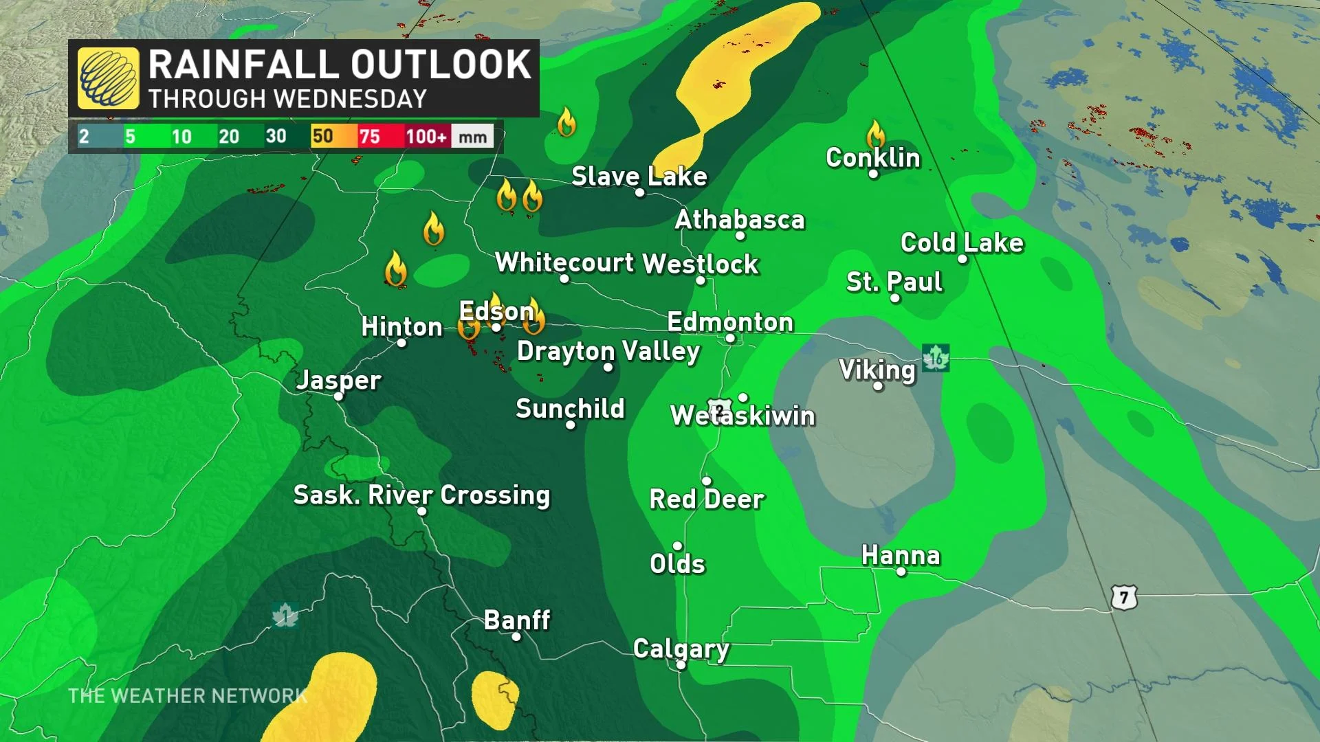
The widespread rain will provide some relief for Alberta's ongoing wildfires, but the threat of lightning could spark new blazes and worsen the situation for communities such as Edson and parts of Yellowhead County.
DON’T MISS: No re-entry timeline for evacuees as Alberta breaks wildfire season record
Wednesday
Areas: Eastern Alberta and Saskatchewan
Timing: Afternoon and evening
Weather: As the low tracks east it’ll bring the risk into Saskatchewan. The energy with the system will diminish a bit reducing the risk of severe storms compared to Tuesday. That being said, there will be the risk for some strong wind gusts with the line of storms that will track through southern Saskatchewan. There is also the chance for some large hail that could be as large as ping pong ball in size.

Confidence: Thunderstorms will be widespread throughout the region.
Thursday
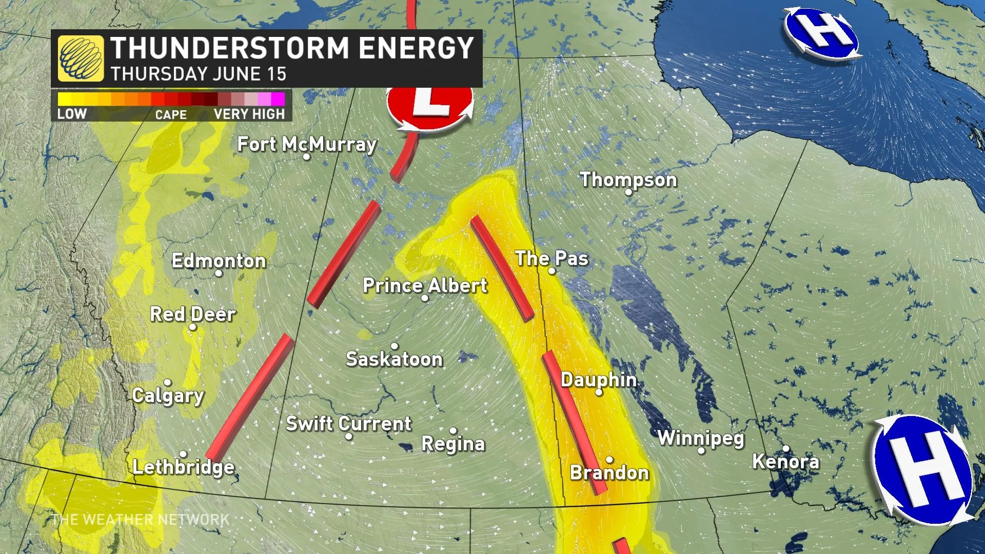
Areas: Saskatchewan and Manitoba border
Timing: Afternoon and evening
Weather: The thunderstorm risk moves east on Thursday but diminishes in strength.

DON'T MISS: What’s in wildfire smoke? Toxicologist explains health risks, best masks to use
Fires continue, but change is coming
As these thunderstorms will be widespread in central Alberta, this will help to bring some rain to areas that have a higher fire danger rating or wildfires that are currently burning.

Check back frequently for the latest on conditions across the Prairies.


