Tropical Atlantic showing no signs of quieting even after Helene’s exit
Even after Helene, the Atlantic is showing no signs of slowing down as multiple tropical systems are brewing over the final weekend of September
We’re in the busiest stretch of this hurricane season as multiple storms swirl over the Atlantic Ocean.
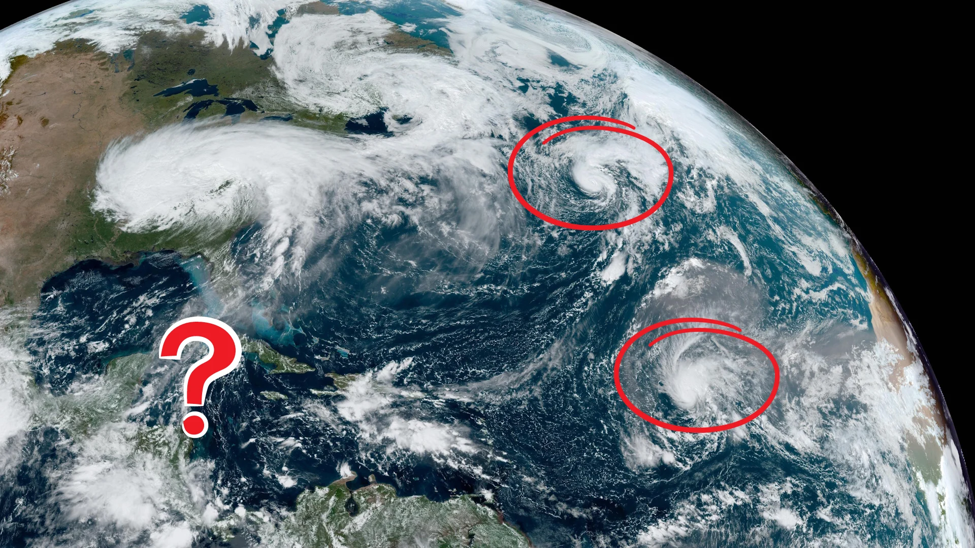
Even though Hurricane Helene is rapidly dissipating after its destructive landfall on Thursday, we’re still watching Hurricane Isaac and Tropical Storm Joyce over the open ocean.
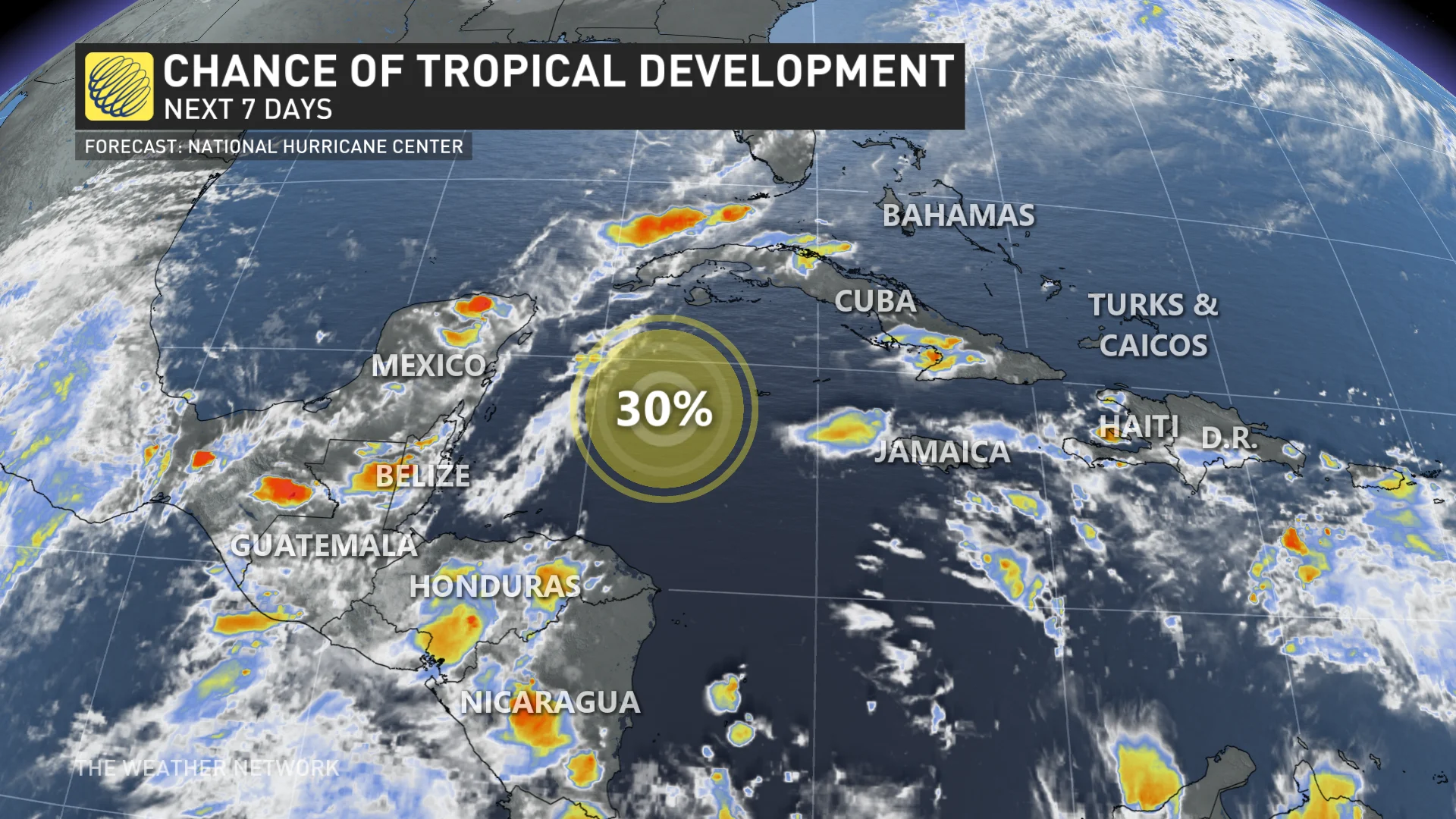
There’s also an area in the Caribbean forecasters are closely watching for potential tropical development heading into next week.
DON’T MISS: How Hurricane Helene produced 700+ mm of rain in three days
Isaac and Joyce churning over the Atlantic
Hurricane Helene finally lost its tropical characteristics over Kentucky on Friday afternoon, less than a day after the major Category 4 storm made landfall in Florida and brought catastrophic and historic flooding to much of the southeastern United States.
Several other storms developed farther east while we were watching Helene this week.

Hurricane Isaac is a stout little storm moving through the northern Atlantic Ocean. This hurricane will slowly weaken this weekend as it churns toward cooler waters, remaining far away from land and only a concern for shipping lanes and airline routes between North America and Europe.
Tropical Storm Joyce is another out-to-sea storm that formed in the eastern Atlantic on Friday morning. Much like Isaac, forecasters expect Joyce to remain in the middle of the open ocean and gradually fall apart without affecting land.
Two disturbances worth watching
We’re also on the lookout for two areas of disturbed weather over the Atlantic basin that could develop into tropical systems over the next week.
The first is a small disturbance over the eastern Atlantic in the same vicinity as Tropical Storm Joyce. The U.S. National Hurricane Center (NHC) gives this system a low chance of developing through the beginning of October.

Another area closer to home warrants watching as forecasters expect a disturbance to develop in the western Caribbean Sea by early next week.
This Caribbean system could encounter favourable conditions to develop into a tropical depression as it moves west toward the Yucatan and eventually the Gulf of Mexico.
This is the time of year when storms are most likely to develop in this region of the ocean, as we just saw with Helene, so it’s worth closely monitoring developments in the coming days.

Stay with The Weather Network for all the latest updates throughout hurricane season.


