Waves of storms possible across southern Ontario into Monday
Several rounds of thunderstorms are possible across southern and eastern Ontario through the day on Monday
We had quite the rocky Sunday across much of the Greater Toronto Area as a hefty line of storms charged through the region.
Folks across southern Ontario could deal with additional thunderstorms as the heat builds through Monday once again. Some of the storms could reach severe limits.
DON'T MISS: 10 ways The Weather Network app can help you plan for summer weather

The constant rounds of thunderstorms over the past couple of weeks have pushed Toronto in range of potentially logging one of its wettest summers on record. We've seen 170 mm of rain so far this season, which isn't too far off the seasonal average of about 222 mm in the gauge at Pearson Airport.
We'll likely add to those totals on Monday and possibly Tuesday as another stormy setup grips the region.
Additional storms expected during the day Monday
We’re still dealing with complexes of thunderstorms developing around the “ring of fire” heat dome over the United States. Thunderstorms ride around the northern edge of the heat dome like train cars on railroad tracks, fed by the heat and instability pooled up across the region.
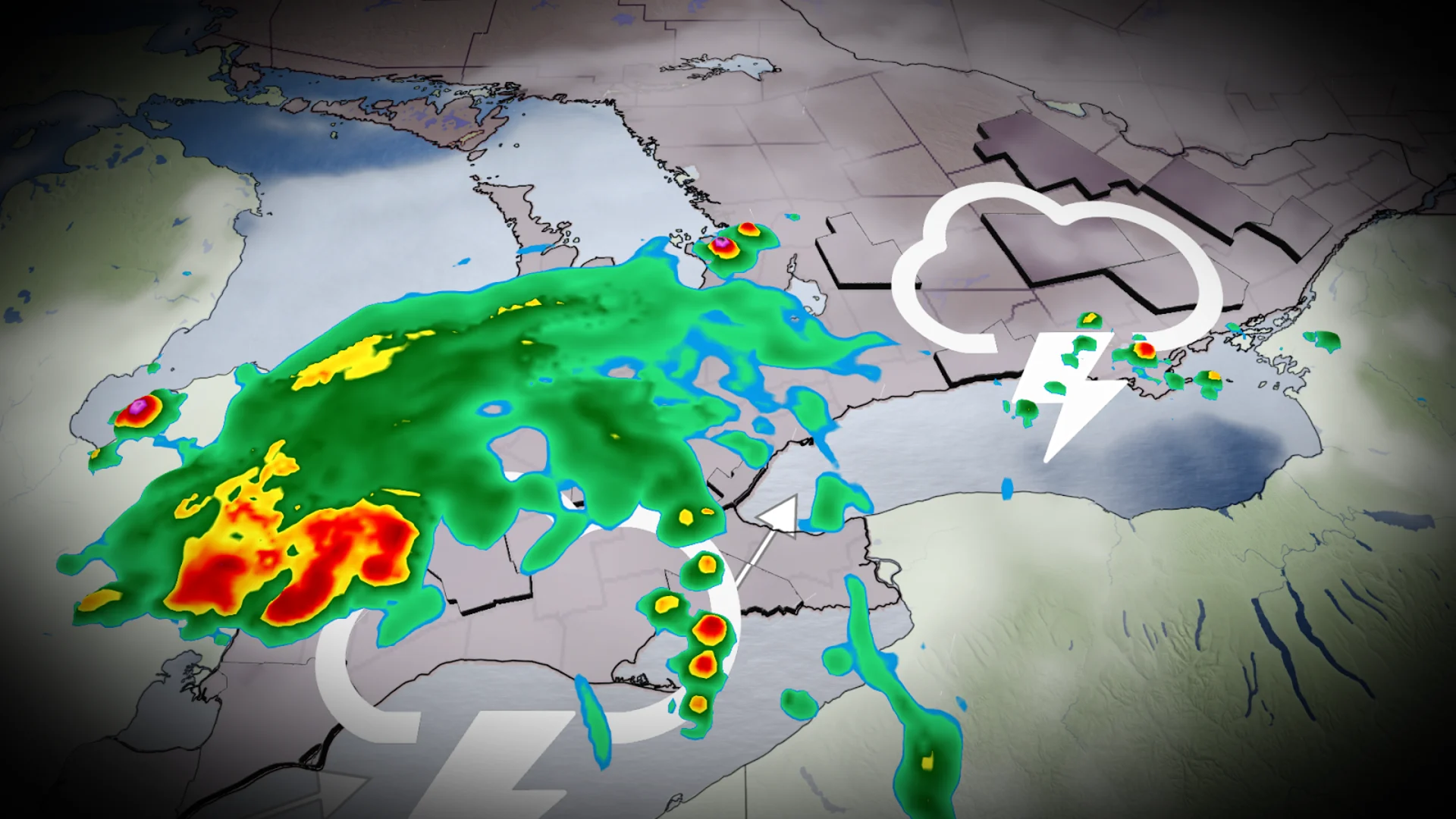
Sunday's storm threat continued into overnight and early morning hours on Monday, with the risk for heavy rainfall, strong wind gusts, and small hail primarily across the southwest. The atmosphere should recover throughout the day as more heat and humidity builds over southern Ontario.
Widespread instability will allow for scattered thunderstorms to develop over just about all of southern and eastern Ontario, including Toronto, Hamilton, Ottawa, Barrie, and Bancroft.
DON'T MISS: How severe weather alerts are issued, and potentially save lives

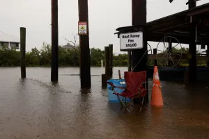
In addition to the risk for strong wind gusts and large hail, thunderstorms will have an ample reserve of moisture to tap into and produce torrential downpours. Localized flooding is possible beneath persistent heavy rainfall.
Keep a close eye on the radar throughout the day across southern and eastern Ontario, especially if your plans take you outdoors. Never try to drive across a flooded roadway. It’s impossible to tell how deep the water is until it’s too late.
Forecasters are monitoring another potential thunderstorm setup heading into our Tuesday across southern Ontario. The trigger for storms will be more defined and pose a risk for enhanced thunderstorm activity. Check back on Monday for more specifics on this particular threat.
Stay with The Weather Network for all the latest on conditions across Ontario.