First cold blast with lake-effect snow set to invade Ontario
It may have taken until the end of November, but signs of winter are finally arriving across parts of Ontario this week. Some locales are in line to see multiple rounds of lake-effect snow, accompanied by the coldest air of the fall so far.
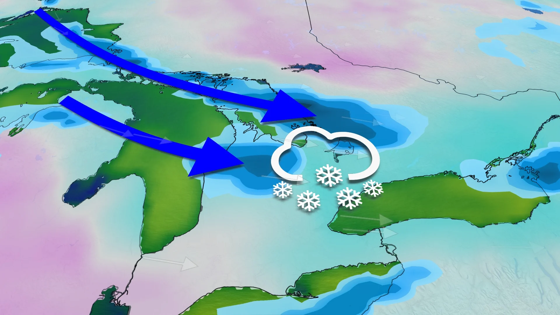
As polar air infiltrates Canada this week, the Great Lakes are finally turning on to bring the first lake-effect snowfall of the season for some.
Much colder temperatures, blustery conditions, and rounds of snow could leave some areas dealing with the first dose of winter driving and shovelling before the week ends.
RELATED: The 50-cm snowfall lottery: Will an Ontario locale win it before December?
While it's still uncertain just how much snow falls, and the exact locations it hits, drivers will want to be prepared for any changing and deteriorating conditions. Especially after a fall season that could go down as one of the warmest on record across the province.
Signs of winter arrive as November ends
On Tuesday, snow lingers in northern Ontario, with a few more centimetres accumulating through the day. Meanwhile, freezing rain continues in eastern Ontario, including along the Ottawa Valley.
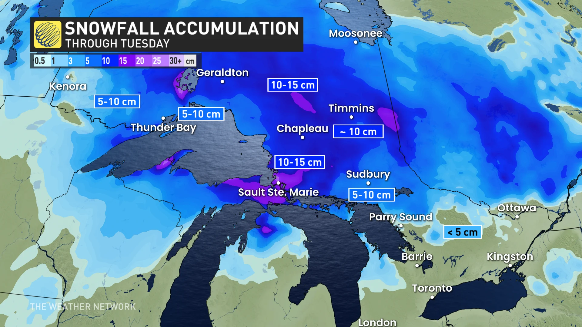
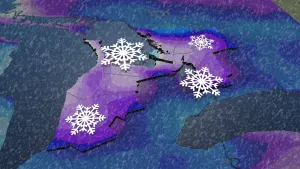
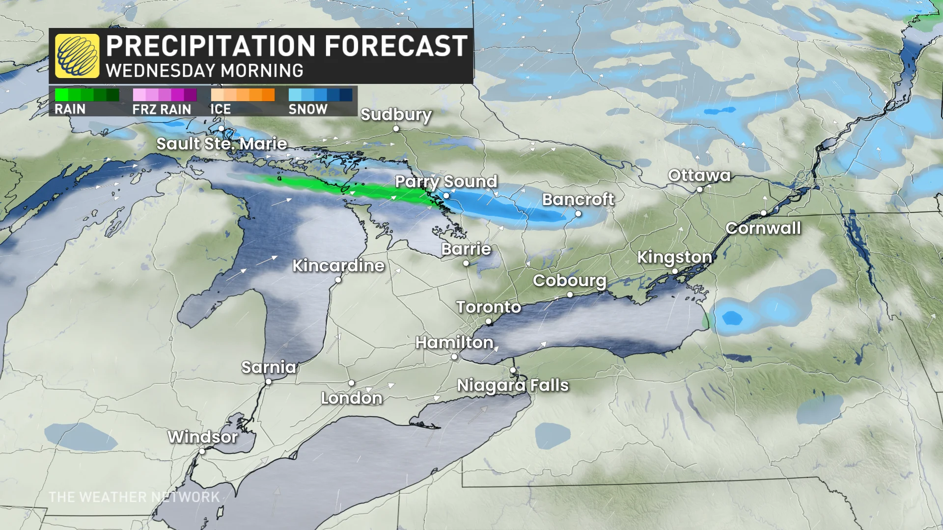
Temperatures will continue to cool behind the system, and that will spark some lake-effect mixing Tuesday night, with the better chance for it to transition fully to snow overnight through Wednesday morning for Georgian Bay and Lake Huron. Snow squalls are expected off Lake Superior with colder temperatures in the north.
The greatest chance for accumulating snow will be east of Georgian Bay and Lake Superior, where it is possible to reach upwards to 10-15 cm of snow through Wednesday. But, it will be relatively localized due to the nature of snow squalls.
SEE ALSO: Coldest air of the season to push into Canada to start December
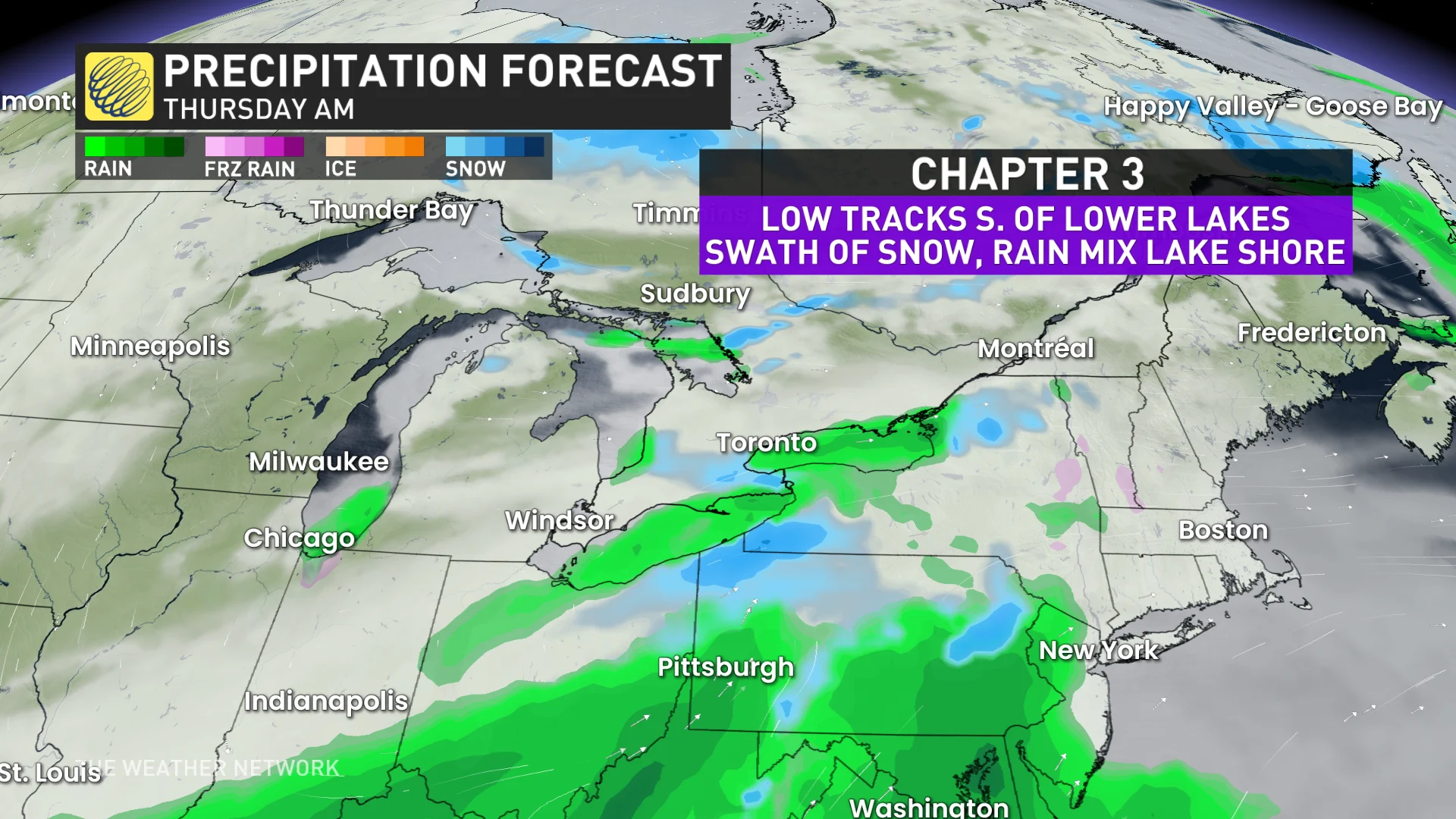
A storm will track south of the Great Lake through the northeastern U.S. Wednesday overnight through Thursday. That will bring travel disruptions for American Thanksgiving with some flurries through parts of southern Ontario, mainly the Lake Erie shorelines and along the St. Lawrence River in eastern Ontario.
There is still uncertainty on the track and impacts of the storm. The stateside system will disrupt the lake-effect snow squalls occurring in Ontario on midday Thursday.
RELATED: Buried: Why the Great Lakes produce some of the world’s heaviest snow
Regardless of the track of Thursday’s storm, it will draw in another wave of Arctic air, which will stick around through the weekend. All the Great Lakes will be producing lake-effect snow for multiple days as December arrives, producing high amounts.
There is good confidence in this multi-day, lake-effect snow event, but it won’t be widespread and will target more of the snowbelt regions.
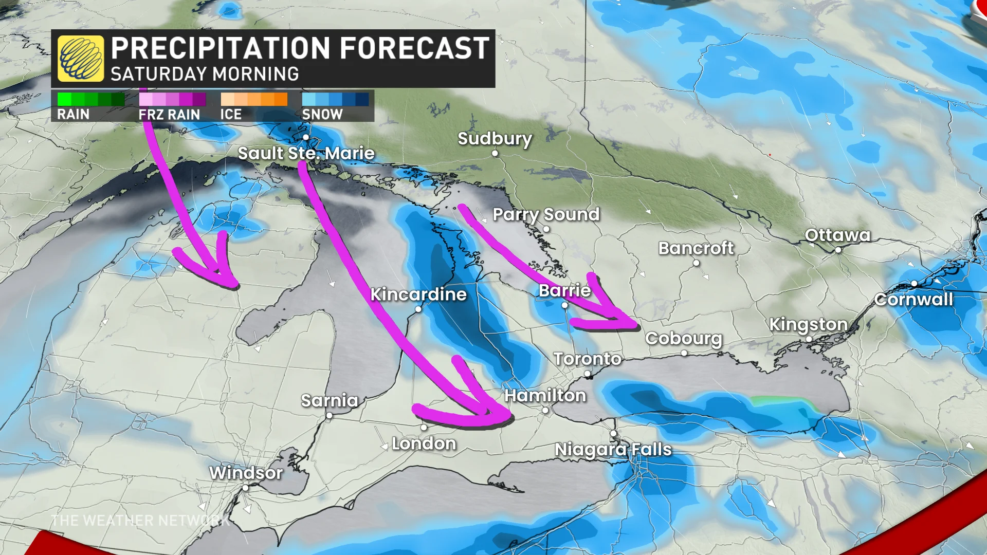
Lake-effect snow squalls will meander across the snowbelts through the first week of December, as well, with impressive snow totals likely. Ski areas will be able to build an impressive base during early December due to natural snow and excellent snow-making conditions.


