Winter closes in on Ontario with several snow chances this week
As polar air infiltrates Canada, the Great Lakes are turning on to bring the first lake-effect snowfall of the season for some
It may have taken until the end of November, but signs of winter are finally arriving across parts of Ontario this week. Much colder temperatures, blustery conditions, and rounds of snow could leave some areas dealing with the first dose of winter driving, and shoveling, before the week ends.
While it's still uncertain just how much snow falls, and the exact locations it hits, drivers will want to be prepared for any changing and deteriorating conditions. Especially after a fall season that could go down as one of the warmest on record across the province.
DON'T MISS: Ontario's mild weather is quickly fading, so is winter just around the corner?
Signs of winter arrive as November ends
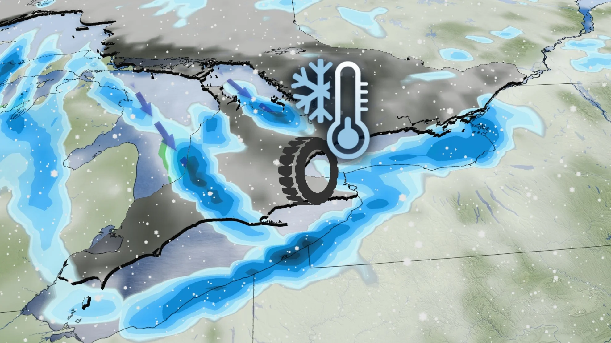
A significant pattern change will open the door to winter weather this week, as parts of southern Ontario will see its first chance for accumulating snow, and lake-effect snow squalls, as well.
The first system on Monday will bring light rain to southern Ontario, and heavier snow to the north, with the chance for a brief period of freezing rain and ice pellets in between.
SEE ALSO: Coldest air of the season to push into Canada to start December
By Monday afternoon and evening, the light rain will spread across southern Ontario and the Greater Toronto Area (GTA). For areas to the north of the GTA, there is the chance for a brief period of snow, as well as slick freezing rain before the precipitation changes over to just rain.
A winter weather travel advisory is in effect for northern areas, with snow spreading across Sault Ste. Marie Monday afternoon, and reaching North Bay later in the evening. The heaviest snow is expected during the evening and overnight hours, before tapering off on Tuesday. Snowfall amounts of 10-15 cm are possible in some of the harder hit areas.
"Surfaces such as highways, roads, walkways and parking lots may become difficult to navigate due to accumulating snow," warns Environment and Climate Change Canada (ECCC) in the advisory. "Visibility may be suddenly reduced at times in heavy snow."
Icy mix hits the Ottawa area
Across the Ottawa Valley, there's also the chance for a wintry mix, including freezing rain and ice pellets later Monday night. That's as temperatures hover close to the freezing mark.

Although ground surfaces are still relatively warm, icy conditions are possible, especially on elevated surfaces like bridges, overpasses and untreated roadways. A special weather statement is in effect for the region.
A front sweeps across the Great Lakes on Tuesday, with another rain event likely for the GTA, and more snow chances for central and eastern sections.

Rounds of lake-effect snow
On Wednesday, the first wave of Arctic air from the Prairies will try to organize some lake-effect bands of snow off lakes Superior and Huron, and Georgian Bay. Organization will be tough, however, due to an incoming storm stateside that will disrupt the wind pattern. Still, the chance is there.

Thursday brings the biggest question mark as to which areas will see snow. The track of the incoming storm is more likely to impact Montreal, Que., and eastern Ontario, though models are showing signs of the storm moving north soon enough to impact parts of the GTA, as well.
RELATED: Buried: Why the Great Lakes produce some of the world’s heaviest snow
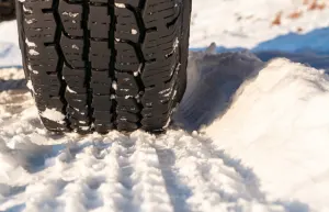
Even though the swath of snow may be light across the 401 corridor, the first light snow event in the GTA always takes some re-familiarization when it comes to driving. There are likely a lot of drivers that don't have winter tires on yet, either.

Regardless of the track of Thursday’s storm, it will draw in another wave of Arctic air, which will stick around through the weekend. All the Great Lakes will be producing lake-effect snow for multiple days as December arrives.
There is good confidence in this multi-day, lake-effect snow event, but it won’t be widespread and will target more of the snowbelt regions.

Lake-effect snow squalls will meander across the snowbelts through the first week of December, as well, with impressive snow totals likely. Ski areas will be able to build an impressive base during early December due to natural snow and excellent snow-making conditions.


