Winter storm warnings issued across B.C. ahead of heavy snow, ice
Ready or not, B.C., yet another significant snowfall event, along with some ice potentially, is on the way – just in time to put holiday travel plans in peril.
Another snow event is brewing across the South Coast of B.C., but this one is different.
Eventually, the warm air will win out. But, until then, it's a messy affair with warmer air snaking up from north of Hawaii.
After one of the coldest days in the 21st century on Wednesday, with highs struggling to get above -10°C across Metro Vancouver, the cold air is deeply entrenched across lower terrain due to an Arctic outflow.

Environment and Climate Change Canada (ECCC) has issued winter storm warnings across the South Coast that warns of hazardous travel conditions due to heavy snow, freezing rain, rain, and strong winds.
Outflow winds will keep temperatures near or below freezing through Friday morning, then a gradual transition to ice pellets and rainfall will spread along coastal sections with a southerly flow from the south.
PHOTOS: Travel virtually impossible as B.C. digs out from snow wallop
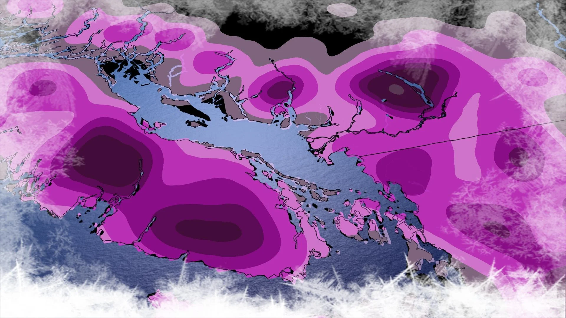
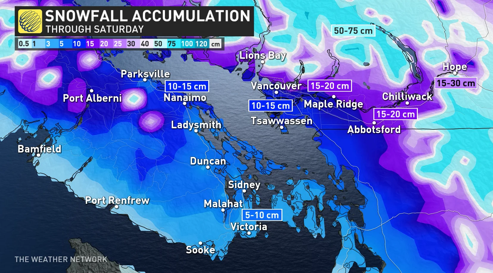
There's a real risk of freezing rain on Vancouver Island and a large swath of snow for Metro Vancouver, favouring inland sections. Snowfall amounts are difficult to forecast with the threat of freezing rain and ice pellets, but 5-15 cm of snowfall across Metro Vancouver is a safe bet.

“Visibility will be suddenly reduced to near zero at times in heavy snow and blowing snow. Localized flooding in low-lying areas is possible. Take extra care when walking or driving in affected areas. Ice build-up may cause tree branches to break,” ECCC stated in the winter storm warning for Vancouver.
The freezing rain will likely linger across the Fraser Valley into Saturday, potentially creating problems for hydro infrastructure and roads. Travel is not recommended. Other areas of concern for freezing rain include up Howe Sound, where light outflow winds will persist the longest near Squamish.
By Saturday evening, most of that colder air will have been sufficiently flushed from valleys and inlets, transitioning the precipitation to rain, making for a rainy and gusty Christmas along the coast.
WATCH: Vancouver sees big increase in building fires as cold sets in
Check back for the latest on these multiple wintry threats across B.C.


