The science behind Canada's 'classic' fall storms
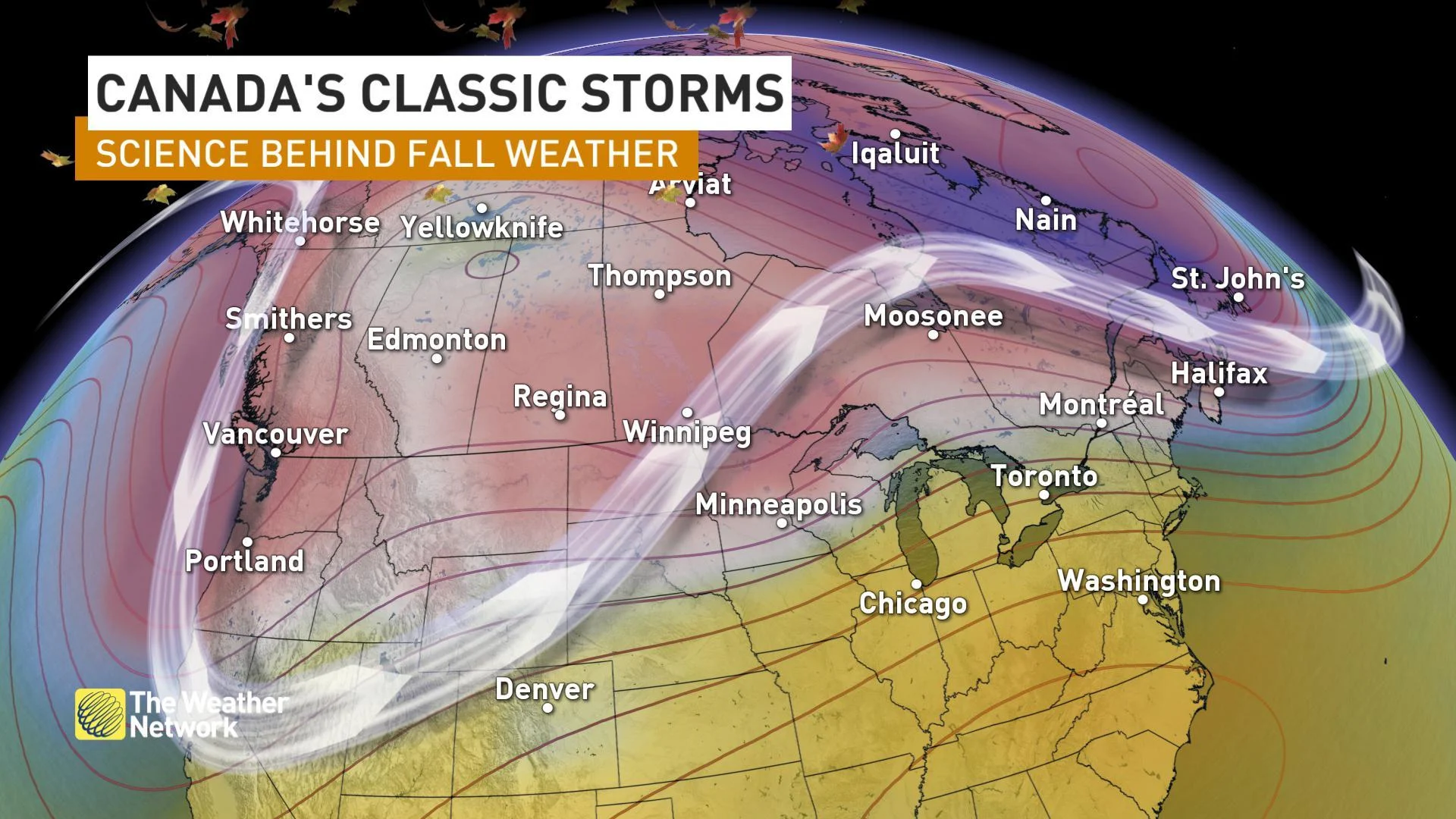
The turbulent weather that marks Canada's fall season can be as varied as the colours of the changing leaves. So it's no surprise that a 'classic fall storm' means different things to different Canadians. While each of these classic systems is driven, broadly, by the same mechanism -- the changing angle of the Sun in the sky -- they manifest in vastly different ways across the country.
Visit our Complete Guide to Fall 2022 for an in-depth look at the Fall Forecast, tips to plan for it and much more!
BRITISH COLUMBIA — THE SOUTHEASTER
Autumn marks the return of the rainy season in British Columbia, but it isn't necessarily rain or alpine snow residents think of when they think fall storm.
That honour often goes to the winds: The 'Southeaster' that brings strong, often damaging, winds to coastal B.C.
WATCH BELOW: INSIDE B.C.'S CLASSIC FALL STORMS
The culprit here is a low pressure centre that steers across central Vancouver Island and spurs intense coastal wind gusts in its wake. These strong gusts kick up in the wake of the system's cold front, as atmospheric pressure rises sharply. Combine that with the channelling effect between the mainland and Vancouver Island, and gusts can easily surpass 100 km/h.
In December 2018, this type of storm left more than 600,000 people around the South Coast without power after it proved the 'most destructive in B.C. Hydro history.'
PRAIRIES — THE STALLED LOW
While the Alberta clipper may be the most famous, there's a system that packs more of a punch when it comes to fall storms on the Prairies. The ingredients aren't as common, but when they do join forces, it's time to pull out the snow shovels.
FROM THE MET DESK: STALLED LOW? PREPARE FOR SNOW
A low pressure centre stalled over the central Rockies serves to draw Pacific moisture over the mountains and funnels it into southern and central Alberta. Combine this with cold air flooding down from the Arctic, and you've got the perfect recipe for extreme snow events in central and southern Alberta.
It's because of lows like these the foothills of southwestern Alberta tend to see their highest snowfall totals for the year in fall and spring, rather than the heart of winter. Winter high pressure from the Arctic deflecting the jet stream tends to make drier clippers and frigid air outbreaks more prevalent than these moisture-laden, border-skimming Pacific lows.
ONTARIO & QUEBEC — THE COLORADO LOW
Only a select few storms achieve the status of a household name, but the Colorado low has undoubtedly earned its place in the group. The most energetic low pressure systems that sweep North America in the fall are often Colorado lows.
FROM THE MET DESK: ACTIVE FROM THE GULF OF MEXICO TO HUDSON BAY
Fall is prime time for these systems, as the jet stream starts to dip south over the Rockies and northern U.S. Plains. That brings cold air into conflict with lingering summertime heat and humidity from the Gulf of Mexico. When the two collide, you get a massive, potent low pressure system, barreling toward the Great Lakes with everything from snow and freezing rain to severe thunderstorms and tornadoes.
ATLANTIC CANADA — THE NOR'EASTER
Another big name, the howling winds of the nor'easter are the hallmark of Atlantic Canada's classic fall system. These storms pack the potential for every type of precipitation and hurricane-force wind gusts and are some of the most potent in North America.
WATCH BELOW: GULF STREAM IS STORM FUEL FOR ATLANTIC CANADA
The impact of these storms depends a lot on the track they take. Those that sail into the heart of the Maritimes bring rain, freezing rain, and snow across the region. Those that skim past offshore spawn blasting winds and heavy snow across the board. Nor'easters are also famous for becoming 'weather bombs' -- low pressure centres that intensify dramatically in only a few hours as they travel up the Eastern Seaboard.
Editor's note: This article was repurposed from 2019


