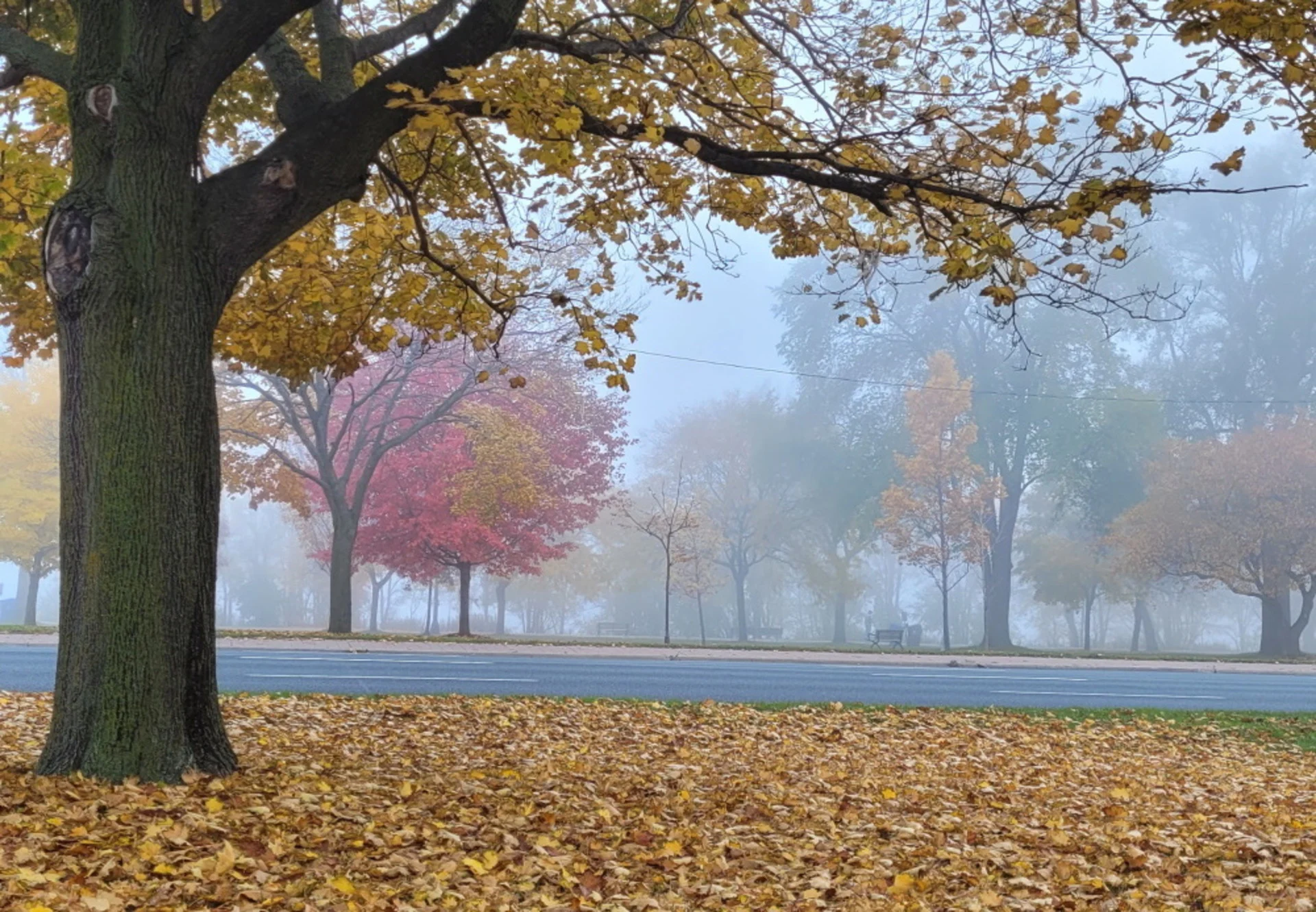
It’s not your imagination—here’s why fall is the foggiest season
Fall weather isn’t complete without fog, and we see plenty of it in this season of rambunctious transitions.
Fall wouldn’t be complete without fog.
It’s not your imagination. Fall really is the foggiest season of the year. We endure huge swings in daily conditions as summer fades to winter. These constant lurches from sultry to brisk make fog a fixture around this time of year. But what is it about fall weather that makes this season more susceptible to fog than the others?
DON'T MISS: Nuclear snow? Seven strange ways humans can change fall weather
Your head is in the clouds if you step outside on a foggy morning. Fog is just a layer of clouds that forms at the surface. These clouds form when the air temperature falls to its dew point, or the temperature at which the air reaches 100 percent relative humidity.
It takes a few ingredients lining up just right in order for fog to form, and it turns out that these conditions are pretty common during the fall months.
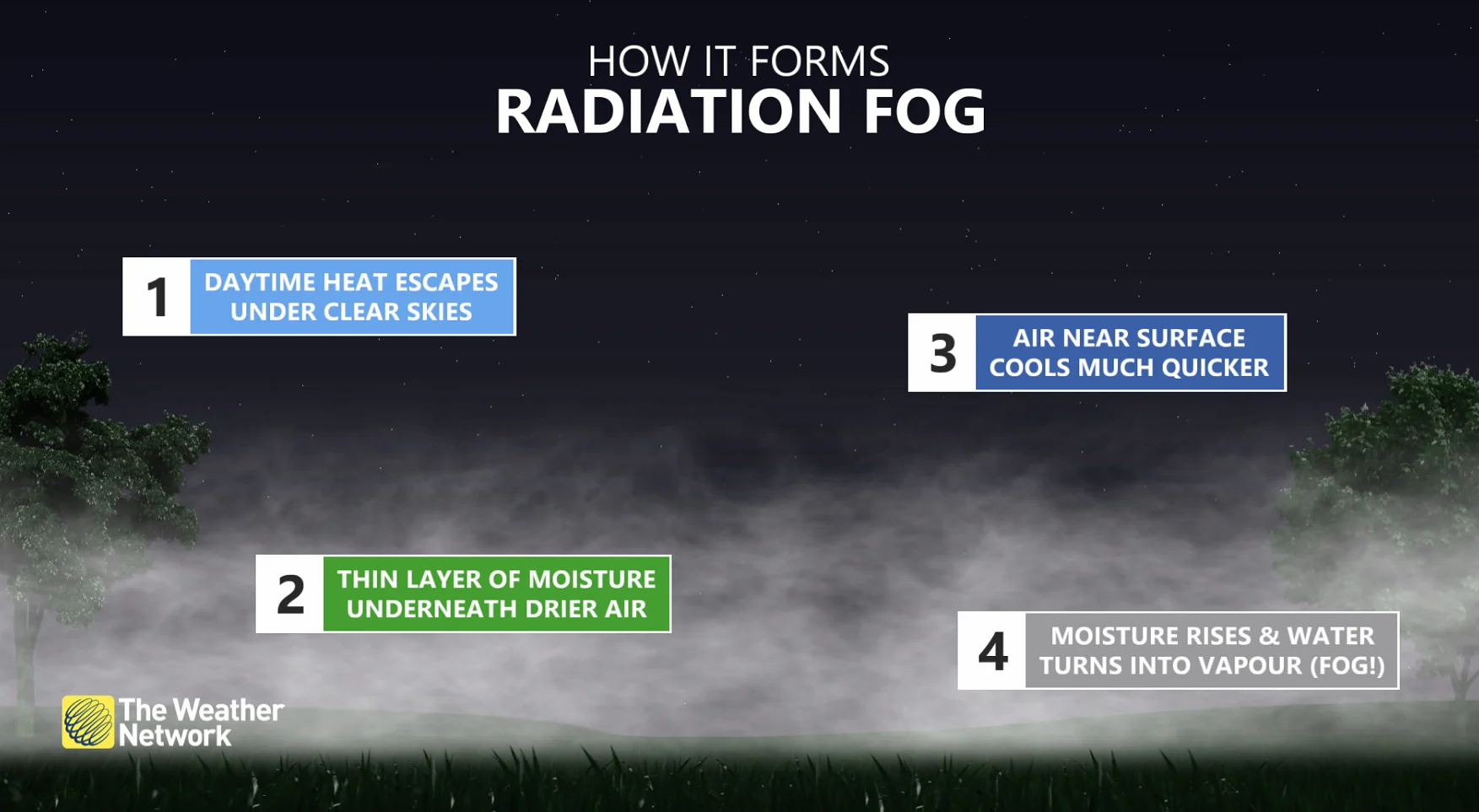
Radiation fog is a great example. We often witness big temperature swings between comfortable days and chilly nights during the autumn months. Temperatures drop in a hurry after sunset due to radiative cooling.
A clear, calm night allows the ground to cool off quickly once dusk settles in, bringing down the temperature of the air right above the surface. This swift drop in temperatures forces the air temperature to drop to its dew point, allowing fog to form at the surface.
If you’ve ever seen a shallow layer of fog over a soccer field on a clear and chilly evening, for example, you’ve witnessed radiation fog.
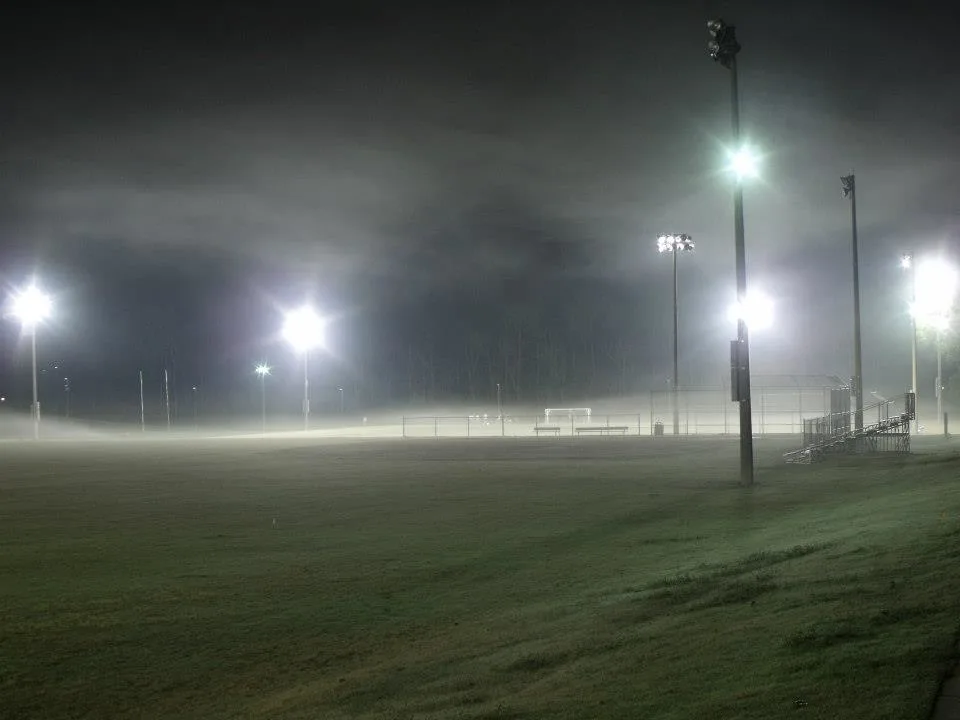
Radiation fog formed over this sports field when clear skies allowed the field to cool off faster than its surroundings. (Dennis Mersereau)
It’s not just the ground shedding its heat that can lead to fog. Warm air pushing into cooler surroundings can also lead to a formidable cushion of fog. A surge of warm and moist air coming in contact with the cooler temperatures of the surrounding air, water, or ground, can lead to a phenomenon known as advection fog.
WATCH: A wall of fog from Lake Ontario blankets the Greater Toronto Area
We see advection fog all the time around the Greater Toronto Area as warm air flows over the cooler waters of Lake Ontario. The chilly waters cool the air immediately above the surface of the lake, bringing the air temperature down to its dew point, allowing a thick layer of fog to form near the lakeshore and roll inland.
As conditions grow colder later in the fall months, colder air blowing over warmer lake waters can even lead to steam fog. Water evaporating off the surface of a river, pond, or lake can quickly condense into thin wisps of fog as it mingles with the frigid air, making the body of water look like a steaming cup of tea.
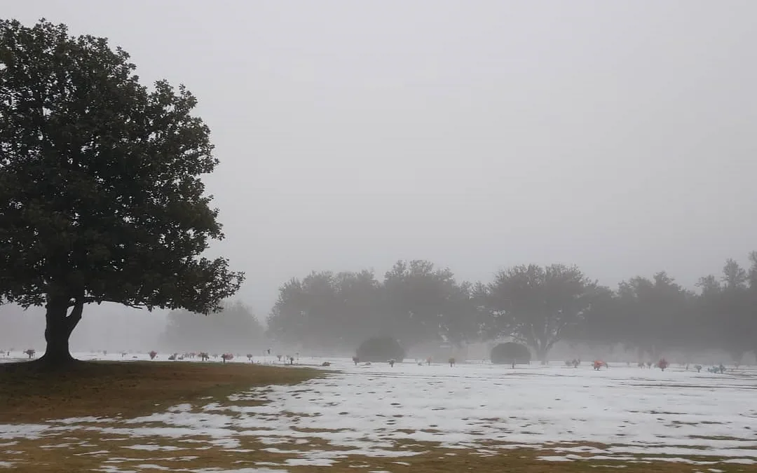
Localized fog can form when warm air blows over a blanket of snow on the ground. (Dennis Mersereau)
LEARN MORE: Freezing fog leaves behind beautiful (but dangerous) rime ice
It’s not just liquid water that influences fall’s fog. If your town encounters a sudden warmup when there’s a blanket of snow on the ground, chances are you’re going to see fog develop as a result of the big temperature clash.
Fog forming as a result of warm air blowing over snow can be especially dangerous for drivers, as this type of fog is often localized and can result in rapid changes in visibility over short distances.
WATCH: Beware the hidden dangers of freezing fog
Thumbnail image courtesy of Trang Truong in Toronto, Ontario


