A strange, historic 2023 Atlantic hurricane season finally ends
The 2023 Atlantic hurricane season officially ended on November 30, leaving behind a remarkable list of frightening and destructive storms in its wake
For the eighth time in the past ten years, the Atlantic hurricane season draws to a close after pumping out a phenomenal stretch of jaw-dropping, record-breaking, and head-scratching storms.
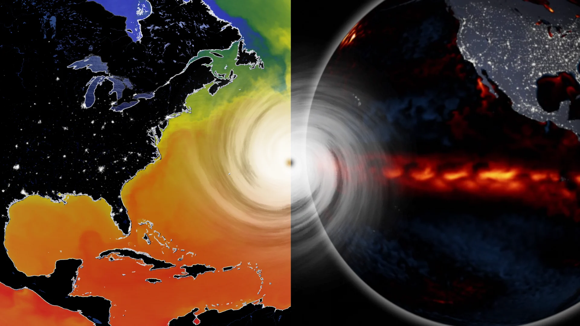
This was a remarkable season that began in the middle of winter and marched straight through a summer dominated by a strong El Niño. Such unfavourable conditions would normally stifle any meaningful hurricane activity across the Atlantic.
DON'T MISS: It's not just your imagination, Atlantic storms are getting stronger faster
But, like many other aspects of our changing atmosphere, this season cast aside history and charted its own course with tracks that often veered toward Canadian waters.
El Niño made a dent, but still one of the most active seasons on record
The 2023 Atlantic hurricane season tied with 1933 as the fourth-most active season on record, with reliable data stretching back to the mid-1800s.

We saw 20 tropical storms develop across the ocean basin this year, seven of which grew into hurricanes and three of those hurricanes strengthening into major storms with winds of Category 3 intensity or stronger.
An average Atlantic hurricane season would produce 14 tropical storms, seven hurricanes, and three major hurricanes.
MUST SEE: How a mammoth hurricane rapidly intensifies in mere hours
A season churning out 20 named storms would be a stunning feat in any circumstances, but it’s even more bizarre that it happened during a strong El Niño over the eastern Pacific Ocean.

The warmer-than-normal water temperatures of an El Niño tend to increase wind shear that blows east over the Atlantic, shredding apart any tropical waves before they have a chance to develop into something more ominous.
That didn’t quite happen this year. It’s likely that El Niño influenced patterns that kept the southern United States hot, dry, and relatively storm-free. Only three tropical systems hit the U.S. this year: Tropical Storm Harold into Texas; Hurricane Idalia into Florida; and Tropical Storm Ophelia into North Carolina.
Despite those relatively unfavourable conditions, we still saw an abundance of tropical systems form over the heart of the Atlantic. Unprecedented warmth across the entire ocean basin, combined with an above-average Saharan monsoon season, supported a rapid-fire pace of tropical systems in August and September.
WATCH: How a hurricane can gather strength with frightening speed
Canada saw more storm threats than Florida in 2023
This year’s hurricane season began in mid-January with Subtropical Storm One, an unnamed system that formed halfway between Bermuda and Nova Scotia. Forecasters with the U.S. National Hurricane Center (NHC) identified and added the short-lived system to the official records in May.

RELATED: Surprise! This year’s hurricane season started with a storm in January
Subtropical Storm One joined a short list of tropical systems that managed to form over the Atlantic during the heart of winter. Before this year, the most recent wintertime tropical system in this part of the world was Hurricane Alex, a small but feisty storm that hit the Azores Islands in January 2016.
The oddities didn’t end there.
Halifax spent more time as a subject in official hurricane forecasts in 2023 than Miami did. Storms forming far out in the Atlantic tapped into steering winds that brought many of the storms close to Canadian waters.
Mapping out all of this season’s cones of uncertainty—the margin of error in a storm’s forecast track—reveals that Canada’s East Coast saw more storm threats than most of Florida.

MUST SEE: Hurricane Lee’s incredible 9,000+ km journey
Out of all those storms, the only one to directly affect the region was Hurricane Lee in the middle of September. The storm, which was once a scale-topping Category 5 hurricane south of Bermuda, made landfall in Nova Scotia as a sprawling hybrid system on September 16.
Lee resembled a large and powerful nor’easter by the time it reached the Maritimes, leaving behind flooding, tree damage, and power outages for hundreds of thousands of homes and businesses across the region.
Hurricane Lee’s rapid intensification into a hulking Category 5 storm days before landfall wasn’t the only case of swift strengthening we witnessed this season. Hurricane Idalia rapidly spun from a tropical storm to a major hurricane in mere hours before hitting Florida at the end of August, continuing a frightening trend of storms rapidly intensifying on approach to landfall.
It’s never too early to prepare for next season
The end of one hurricane season is a great time to think ahead to next year’s threats. Take stock of your emergency supplies and make it a point to bulk up on what’s lacking.
PLAN AHEAD: The best way to prepare for a hurricane is well ahead of a potential disaster
Batteries and physical flashlights are a must-have during any high-impact storm. Non-perishable foods, water, and personal hygiene supplies are a necessity we can easily overlook until we need them. Scout out any trees or tree limbs that loom over your property and make plans to trim them away before they have a chance to fall and cause damage.
Preparing in advance for power outages, utility disruptions, flooding, and damage will ensure you’re ready to tackle whatever nature throws your way in the months and years to come.


