Flooding woes continue to put B.C. communities in harm's way
While the heat may be gone in B.C. for the time being, the province continues dealing with the ramifications of what it helped trigger: Rapid snowmelt that led to flooding and landslides in the Interior, worsened by recent rainfall
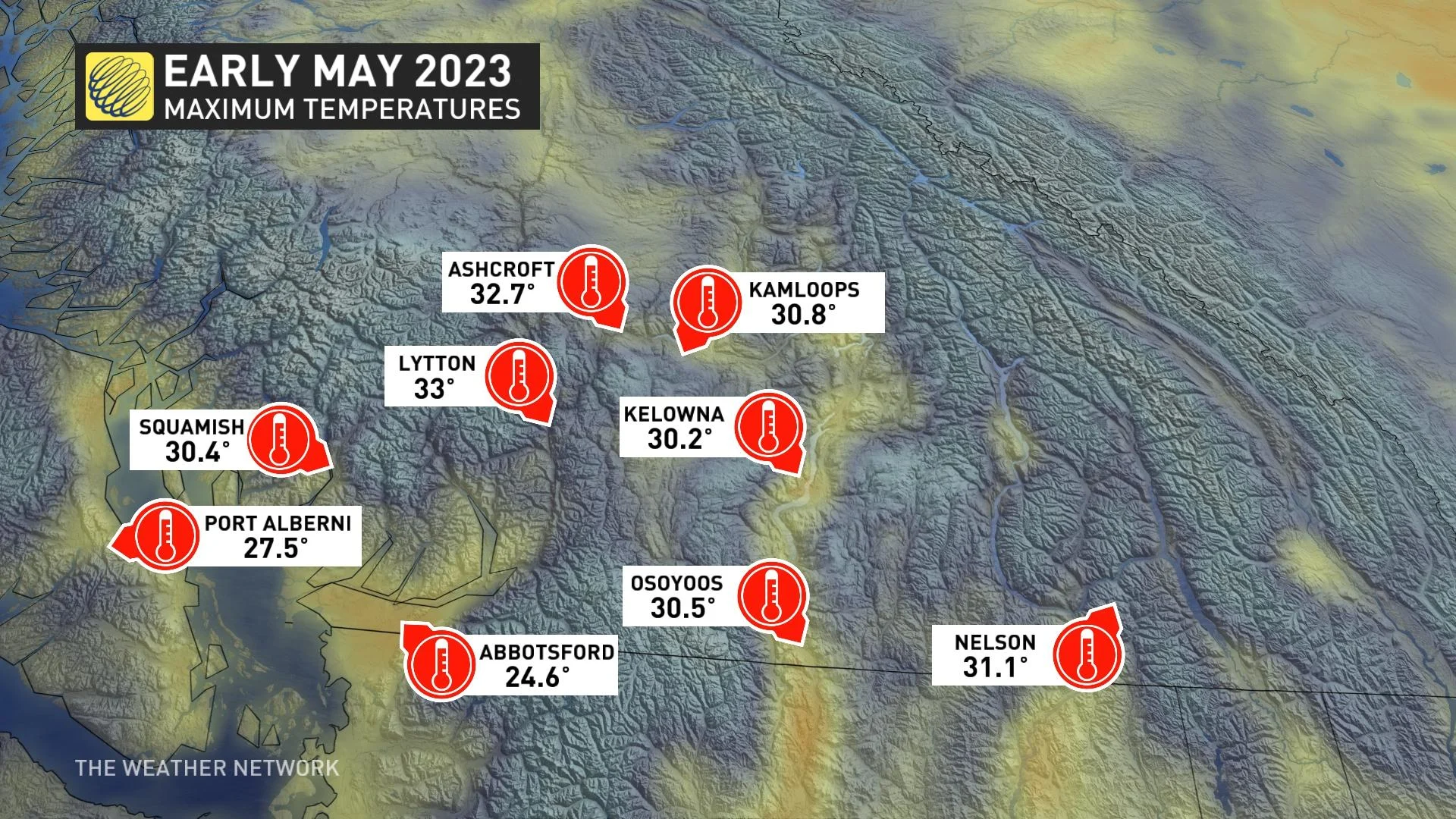
A spate of summer-like temperatures that blanketed British Columbia through the end of April and beginning of May triggered a rapid snowmelt that brought disruptive flooding and landslides to sections of the province’s Interior.
About half of B.C. is under flood watches, warnings or advisories, according to the province's River Forecast Centre.
DON’T MISS: Flooding situation likely to deteriorate in B.C. Interior, province forecasts
On Saturday, Grand Forks was put under a state of local emergency, with the city issuing mandatory evacuation orders for 40 properties in and around the community.
Steady rains could exacerbate flooding
A long spell of above-seasonal temperatures finally lifted and moved east to end the first week of May.
A new, more reasonable pattern for this time of year arrived in its place, bringing slightly below-seasonal temperatures along with bouts of heavy rain for much of southern B.C.
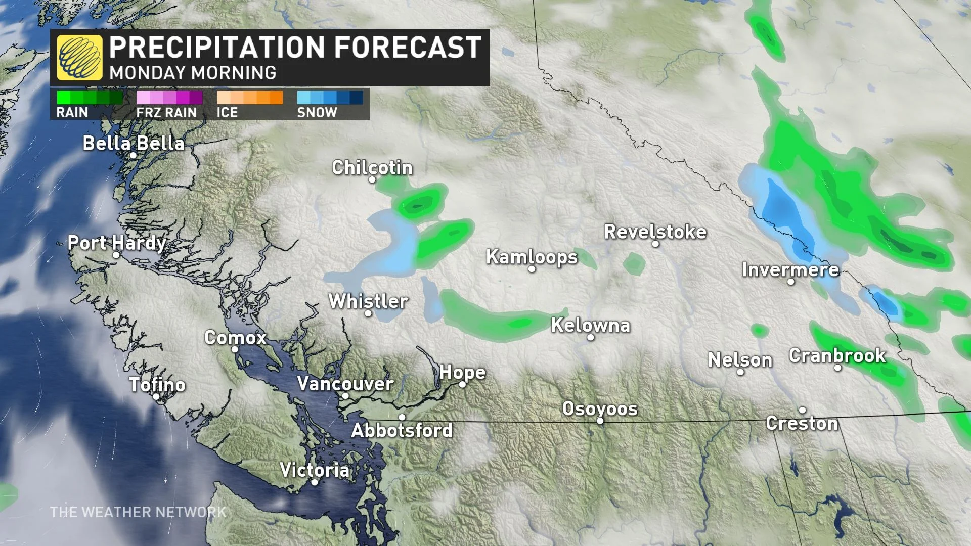
This rain, courtesy of an upper-level low meandering off the coast, will eventually taper off by Sunday and Monday.
Forecasters expect maximum rainfall totals of 20-40 mm across portions of the South Coast and the southern Interior by Sunday, with lower totals elsewhere. These aren’t blockbuster amounts by any means, but measurable precipitation during flooding never helps the situation.
Additional flooding is expected through the middle of the month as a resurgence of warmer temperatures causes the rate of snowmelt to accelerate once again.
Flooding, landslides prompted closures and evacuations
The unseasonable warmth and mid-spring sunshine triggered a rapid snowmelt throughout the province, sending a surplus of meltwater cascading into the watersheds.
Flood alerts blanket the Interior from the Stikine Plateau to the Boundary region as rising waters cut off roads and instigated landslides.
On Saturday, the City of Grand Forks declared a state of local emergency, prompting mandatory evacuation orders for 40 properties in and around the community, The Canadian Press reported.
Travellers across the Interior faced dozens of kilometres of shuttered highways in recent days as a result of flooding or mudslides.
The greatest disruptions occurred due to flooding west of Kamloops in Cache Creek, as well as a mudslide-induced closure of Highway 3 in the Kootenay Pass.
Flood safety is paramount for B.C. residents, travellers
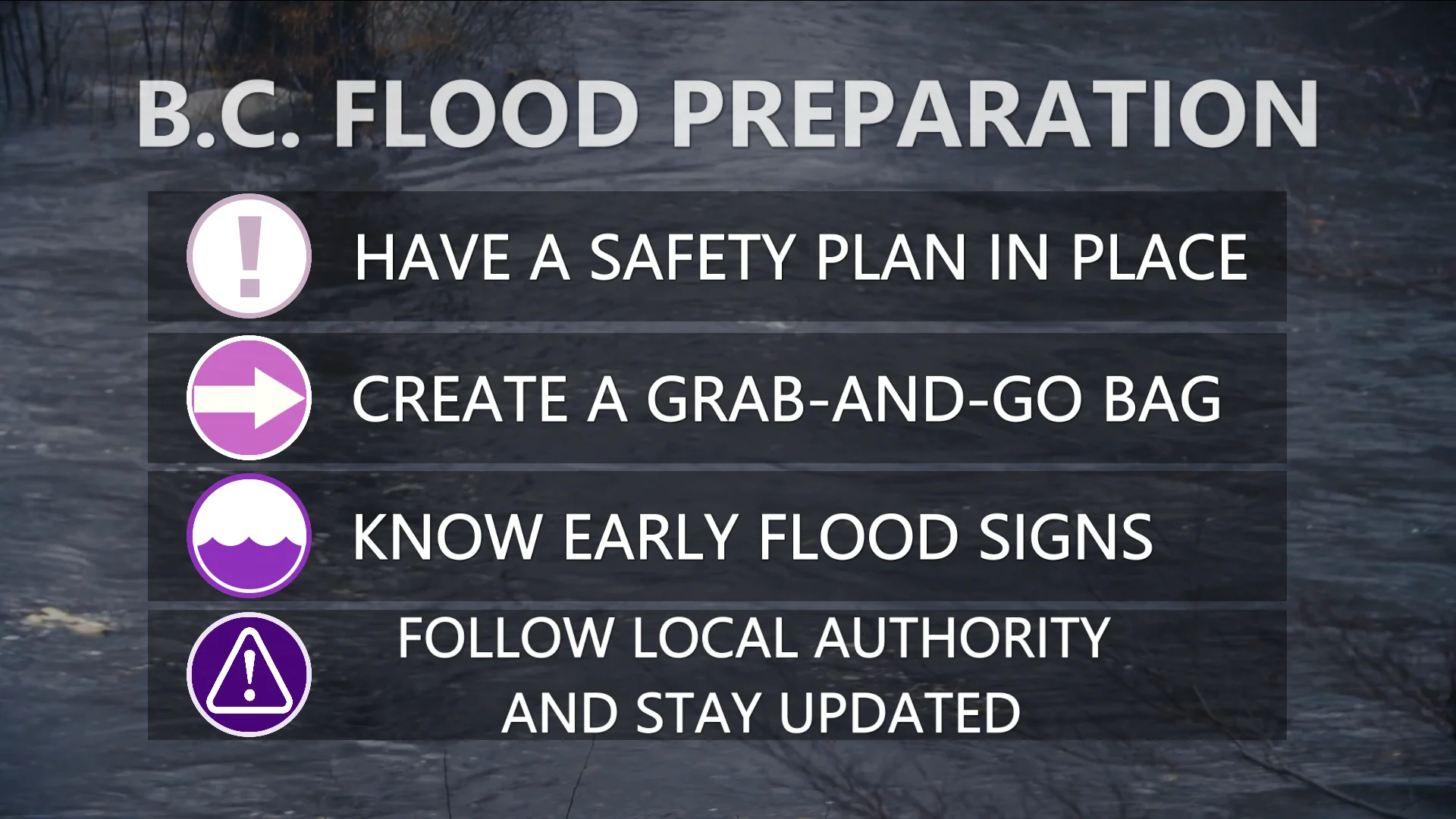
As flooding continues around the province, it’s important to heed the advice and orders of local authorities when it comes to evacuations and road closures. Monitor the latest forecasts and flood alerts to keep up with conditions throughout B.C.
“People living in Cache Creek and Grand Forks, as well as the central Interior, Okanagan, Boundary, southern Kootenays and Similkameen regions and on Okanagan Indian Band territory, are asked to remain vigilant and have a household plan in place,” B.C.’s Ministry of Emergency Management and Climate Readiness said in a statement on Friday.
DON'T MISS: How to ensure your safety during wildfire season
“This includes putting together a grab-and-go bag that includes essentials, such as a first-aid kit, personal medication, food and water, and important documents, such as insurance papers and birth certificates,” the ministry added.
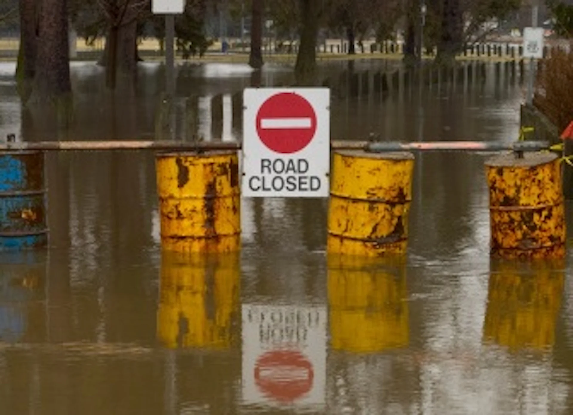
Never attempt to drive across a flooded roadway. It’s impossible to tell how deep the water is until it’s too late, and areas with rugged terrain often experience road washouts during flooding that may be difficult or impossible to see beneath the water.
It takes a surprisingly little amount of water for a vehicle to lose traction, and only a small amount of moving water can lift up a vehicle and carry it downstream.
Thumbnail image courtesy of Unsplash.


