Lightning and wildfire risk prompts B.C.-wide campfire ban
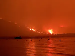
Lightning paired with hot weather has prompted a new evacuation order due to a wildfire in northeastern B.C., as well as a provincewide campfire ban.
On Tuesday, the province said it will be banning campfires across B.C. starting at noon on Friday. The sole exception to the ban is in the Haida Gwaii Forest District.
The ban is being put into place because of the risk of increased wildfire starts as a cold front is forecast to sweep across northern B.C. on Wednesday, bringing with it strong winds, thunderstorms and the potential for dry lightning.
Southern parts of B.C. could also receive wind and dry lightning, the service said, following several days of unseasonably hot weather that saw several temperature records broken across B.C.
The ban comes as the Fort Nelson First Nation issued a wildfire evacuation order for a remote riverside reserve, telling residents and visitors they must immediately leave by boat on Tuesday.

The First Nation says the order covers the Kahntah Reserve, about 116 kilometres southeast of Fort Nelson.
The First Nation's reception office told CBC News that no structures are impacted by the order, and officials with B.C.'s Ministry of Emergency Management and Climate Readiness said the same in an email to Reuters.
But if there are any backcountry users in the region, the nation said there is a risk to life and safety due to an out-of-control fire that was discovered on Monday, and anyone in the evacuation zone should leave immediately.

A screenshot of satellite imagery shows the reserve featuring a clearing on the bend of the Fontas River with a few buildings and other structures. (Fort Nelson First Nation)
The B.C. Wildfire Service (BCWS) says the blaze, measuring five hectares in size, is believed to have been caused by lightning.
The province also issued a smoky skies advisory Tuesday for the Fort Nelson region.
Smoke has also been impacting the air in the northeast B.C. city of Fort St. John, where air quality in recent days has been rated a 10+ on Environment Canada's scale, the highest possible rating. The air quality in the city has been ranked among the worst in the world by international tracking sites.
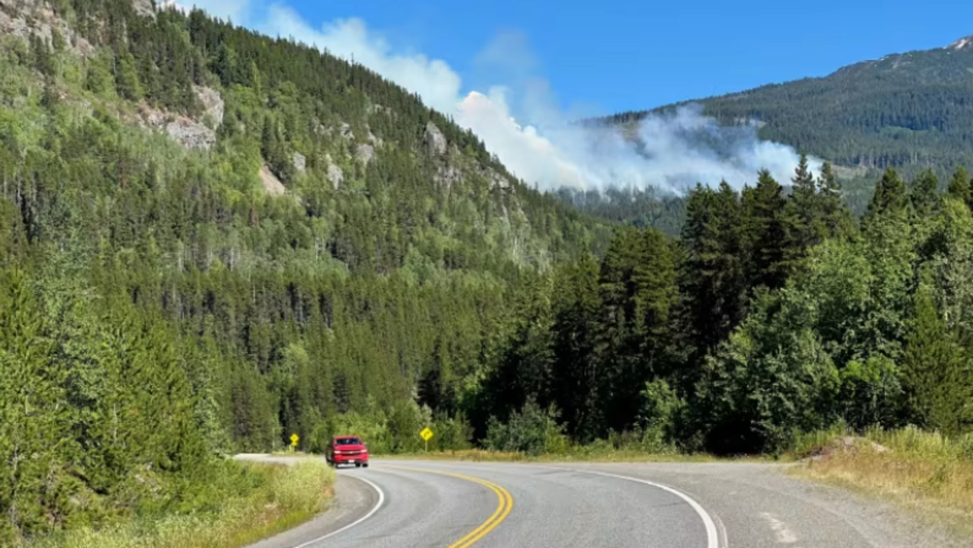
An area north of Fort Nelson is also facing restrictions due to wildfires.
DriveBC said on Tuesday evening that Highway 77 — a 138-kilometre stretch that starts just northwest of Fort Nelson and runs north to the Northwest Territories — had been closed due to a wildfire.
The Patry Creek wildfire burning on either side of Highway 77 is listed as out of control by the B.C. Wildfire Service, but DriveBC did not say which fire in particular led to the highway closure.
New fires grow near B.C. highways
As of Tuesday afternoon, the BCWS was tracking 98 active wildfires, including eight started within the last 24 hours.
That includes two wildfires burning near highways in northeast B.C. — the Little Oliver Creek wildfire, which the BCWS says is about 45 kilometres northeast of Terrace and "highly visible" from Highway 16, and the Hook Creek wildfire near the B.C-Yukon border and the Alaska Highway.
Because of their high visibility, both are considered wildfires of note, and are burning out of control, though they don't currently pose any immediate risk to nearby communities.
However, Morgan Blois of the BCWS warned the highways could have to close if the fires grow in the next 24 to 48 hours, as high winds are expected to prompt "extreme fire behaviour."
"If smoke becomes an issue with visibility, we could see potential highway closures, as well as if that fire activity kind of moves back toward the highway," Blois said.
CANADA'S WILDFIRES: Visit The Weather Network's wildfire hub to keep up with the latest on the active start to wildfire season across Canada.
Detected Monday, the Little Oliver Creek fire is estimated to be about 100 hectares in size and drivers in the region have been urged to use caution.
The Hook Creek wildfire, meanwhile, was discovered and initially measured at less than 60 hectares in size on Sunday. By Tuesday it had grown to 240 hectares, and it is now considered out of control.
Crews from both the B.C. Wildfire Service and Yukon Wildfire are responding to that fire.
WATCH: Top 5 ways humans cause forest fires in Canada
This article was originally published for CBC News. With files from Michelle Gomez, The Canadian Press and Reuters