PHOTOS: Highway camera captures tornado on the horizon
A classic springtime severe weather outbreak produced multiple large tornadoes on Friday
A highway camera in Nebraska caught more than just traffic as severe storms tore across the U.S. Plains on Friday.
Forecasters issued dozens of tornado warnings as powerful storms bubbled from Texas to Nebraska amid a multi-day severe weather outbreak unfolding over the centre of the country.
DON'T MISS: Don’t fall victim to these seven dangerous tornado myths
Dramatic scenes played out in Nebraska on Friday as multiple supercell thunderstorms produced large and damaging tornadoes.
One long-track tornadic storm grazed the state capital of Lincoln before slicing through communities just west of Omaha, a city of nearly half a million residents.

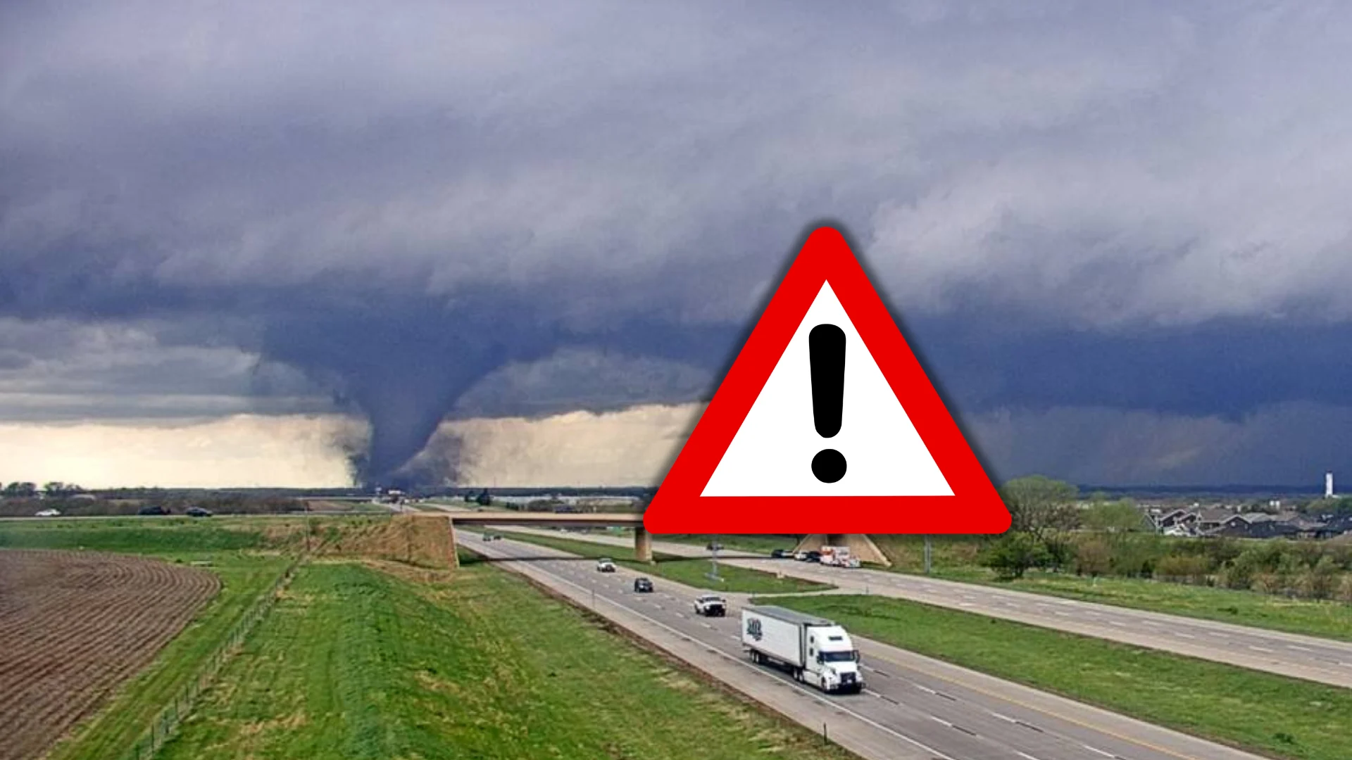
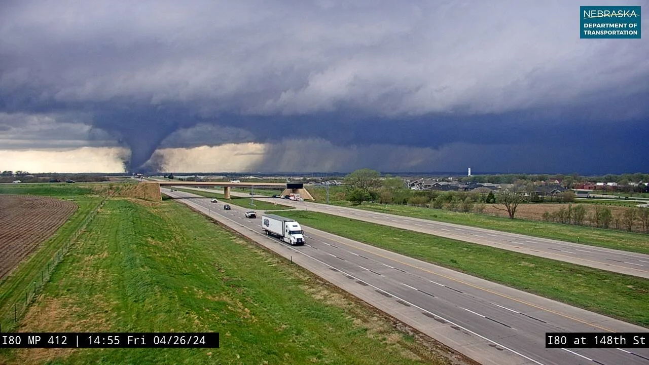
A tornado captured by a highway camera north of Lincoln, Nebraska, on April 26, 2024. (NEDOT)
Traffic cameras operated by the Nebraska Department of Transportation captured the storm as it passed near Interstate 80, a major artery connecting the two cities.
A south-facing camera just north of Lincoln captured a phenomenal view of a cone-shaped tornado dipping out of the supercell as it raced through the region.
MUST SEE: Tornadoes can happen anywhere—and cities aren't immune
Several other cameras along the highway caught a glimpse of the storm as the tornado briefly lifted.
This same storm prompted several tornado emergencies just west of Omaha. A ‘tornado emergency’ is rare wording added to some tornado warnings in the U.S. to alert folks that a large and dangerous tornado poses a grave threat to communities in its path.
Friday’s storms are associated with the same pattern dragging active weather into the Great Lakes region this weekend. Additional severe thunderstorms are expected across the central U.S. on Saturday, including a risk for tornadoes. Saturday’s storm threat covers an area that includes Dallas, Oklahoma City, Kansas City, Des Moines, and Chicago.
See some of the pictures and videos from Friday’s severe thunderstorms, below.


