U.S.: From tornadoes to snow, severe risk shifts east
Day 3 of severe weather for the U.S. and more tornadoes and snow are expected
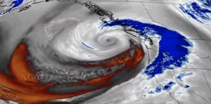
An unusually strong Colorado low moved across the U.S. this week bringing everything from blizzard conditions to tornadoes. This storm has qualified as a bomb cyclone or 'weather bomb,' with a pressure drop of at least 24 mb in 24 hours. For Canadians travelling stateside this week, be sure to have a severe weather safety plan set ahead of time and keep a close eye on the forecast as conditions can deteorate rather quickly in severe storms. More on the forecast, below as well as in the video that leads this article.
Visit our Complete Guide to Spring 2019 for an in depth look at the Spring Forecast, tips to plan for it and much more
WIDESPREAD TRAVEL DISRUPTION, AT LEAST ONE PERSON KILLED
The Rockies and Plains regions were slammed with intense winter weather, causing massive travel disruption and at least one death.
A Colorado State Patrol officer was killed while at the scene of a vehicle that had slid off the road in snowy conditions, when a second vehicle lost control and struck him. The officer was transported to hospital, where he later died.
Driving conditions in Colorado were so severe that the National Guard was called out to help more than 1,000 people who were stranded in their vehicles.
In the skies, air travel was disrupted, with Denver International Airport cancelling more than 1,300 flights.
REMAINING RISK
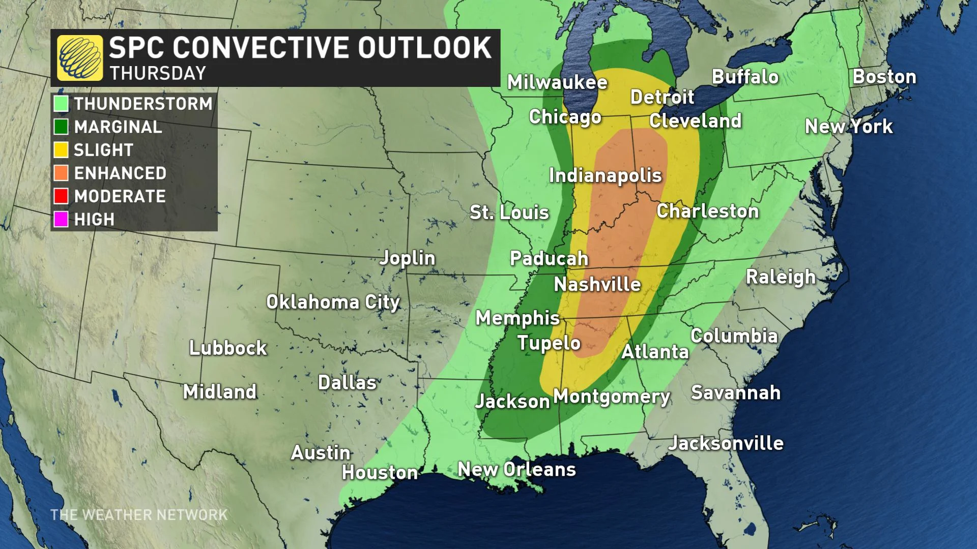
Thunderstorms over the middle Missippi Valley that shifts into the Ohio Valley by midday Thursday.
Both discrete supercells and line segments are possible with damaging wind and a few tornadoes the main threats, mainly from late morning through early evening Thursday.
Storms move into the Mid-Atlantic and Northeast Friday, though the overall threat will be a lot less-significant than what we've seen throughout the week.
Lingering snow will be possible for portions of the Midwest

SEE ALSO: Second tornado followed in tracks of deadly Alabama storm


