This Canadian city just endured its wettest month on record
Records are falling as fast as the rain can pile up across Eastern Canada
Canada is a country of extremes during the summer months, and 2023 is proving no exception to this trend.
While parts of Western Canada deal with unprecedented wildfires and worsening drought, communities back east find themselves awash in record rains.
DON'T MISS: July 2023 set to be world's hottest month on record
301 mm makes for the wettest month on record
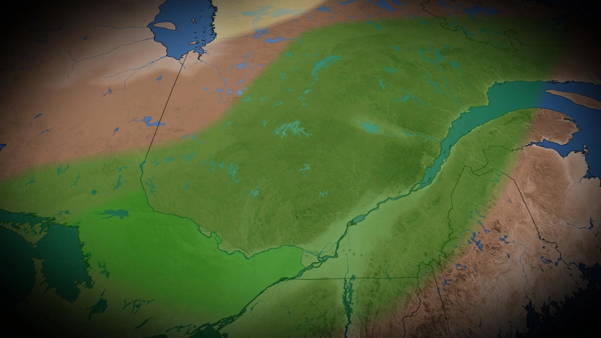
A relentless train of systems rolling through the eastern half of the country have hit southern Quebec particularly hard. The storms produced tornadoes, widespread wind damage, many instances of large hail—and record rains for the ages.
Sherbrooke, Quebec, has measured at least 301 mm of rain in July, making for the city’s wettest month ever recorded. Four days accounted for a little over half of this July’s total rainfall.

A soupy, tropical airmass over Eastern Canada on July 10 brought 81.1 mm of rain to Sherbrooke, making for the rainiest day of the month. These downpours triggered flooding throughout the Eastern Townships, and the rain fell as part of the same event that produced catastrophic flooding just south of the border in Vermont.
The city’s previous all-time wettest month was August 2006, when Sherbrooke measured 297 mm of rain.
WATCH: Why Nova Scotia's floods were so catastrophic
Exceptionally wet July soaks Eastern Canada
Sherbrooke’s all-time rainfall record is just one drop in a bucket that’s more than overflowed in recent weeks.

Montreal has seen 200 mm of rain so far this month through the morning of July 29, surpassing 1980 as the city's wettest July on record. This past Friday's storms pushed Quebec City's monthly total to 258.2 mm, just eking out the previous July rainfall record set back in 1992.
Much of Quebec will end July with above-average rainfall, with communities along and east of the St. Lawrence picking up more than double their normal precipitation for the month.
MUST SEE: Nova Scotia flood catastrophe — what went wrong?
Heavy rains that drenched Quebec also caused major issues next door in the Maritimes.

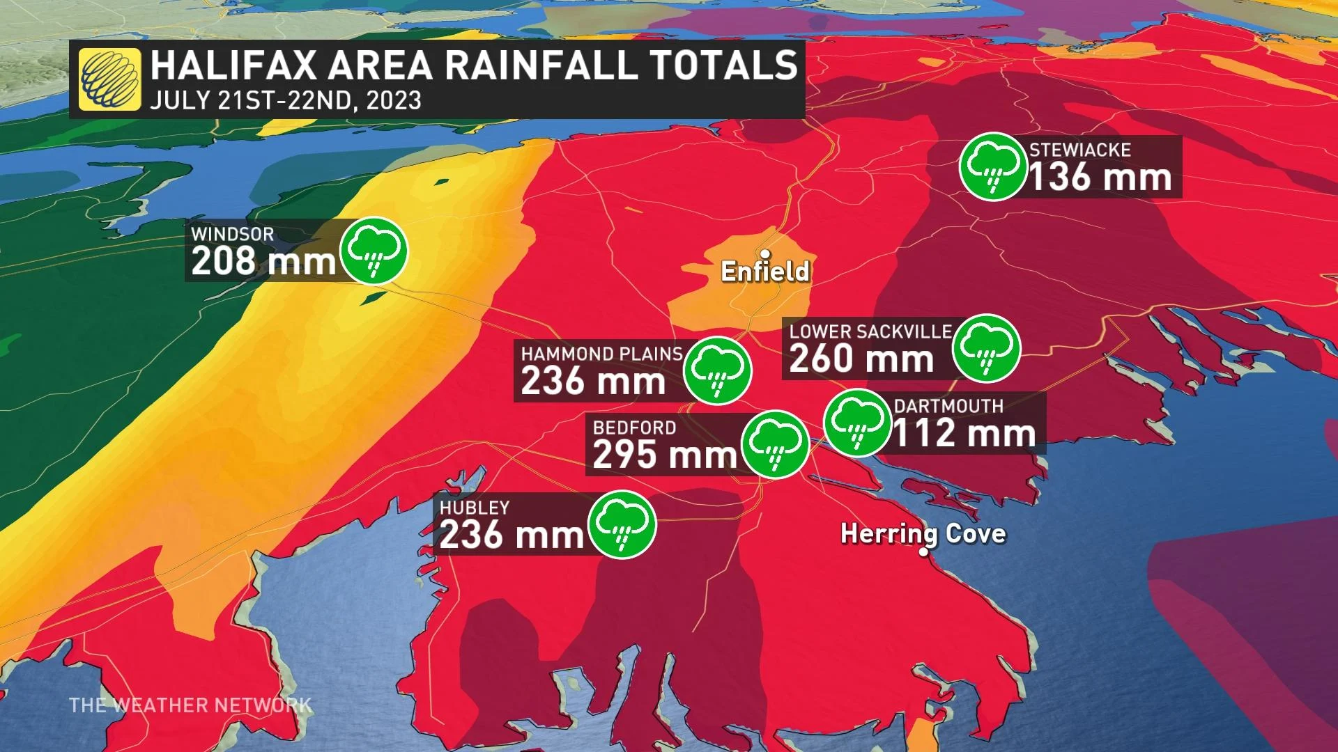
A tropical deluge that struck Nova Scotia on July 21 produced more than 250 mm of rain in just a couple of hours, triggering catastrophic flooding near Halifax. The event turned into one of the most intense rainfall events ever recorded in Canada, unleashing downpours that would’ve broken records even down in Florida.
That same rainy pattern also pushed Saint John, New Brunswick, to easily claim the title of its wettest July on record. The city is less than 10 mm of rain away from breaking its own record as the rainiest month ever measured.
Dry heat out west pushed humid rains east
The relentless heat that’s baked much of the southern and western United States—and which has extended into Canada at times—is largely responsible for this remarkably wet pattern over the eastern half of the country.
Weather is the result of nature’s endless pursuit of harmony in the atmosphere. One extreme begets another extreme to offset it in the everlasting quest to find balance.
RELATED: Four simultaneous heat domes break major records across the globe
The ridges of high pressure fostering high heat in western North America allowed troughs of lower pressure to develop downstream, effectively plopping an active storm track over Ontario, Quebec, and the Maritimes.
Winds circulating around that heat dome over the U.S., a summertime high over the western Atlantic Ocean, and a train of low-pressure systems forming over Canada collectively helped to pump tropical humidity straight into Eastern Canada.
These disturbances triggered routine thunderstorms in the muggy, unstable air, and the elevated moisture acted like a reservoir for thunderstorms to tap into and wring out torrential rains.


