Nobody was injured during one of the worst earthquakes in the U.S.
On this day in weather history, Great Alaskan earthquake registered a 7.9 magnitude.
This Day In Weather History is a daily podcast by Chris Mei from The Weather Network, featuring stories about people, communities and events and how weather impacted them.
--
On Nov. 3, 2002, the Great Alaskan tremor struck. It was officially called the Denali Earthquake because its epicentre was 66 km east-southeast of Denali National Park, Ala., the 49th state in the U.S.
The earthquake registered a 7.9 magnitude -- the largest recorded in the United States since the 1965 Rat Islands tremor. But were there warning signs of the massive quake? Eleven days prior, on Oct. 23, there was a magnitude 6.7 magnitude earthquake centred on the Denali fault. So, by definition, any other quake registering a lower magnitude would be considered an aftershock.
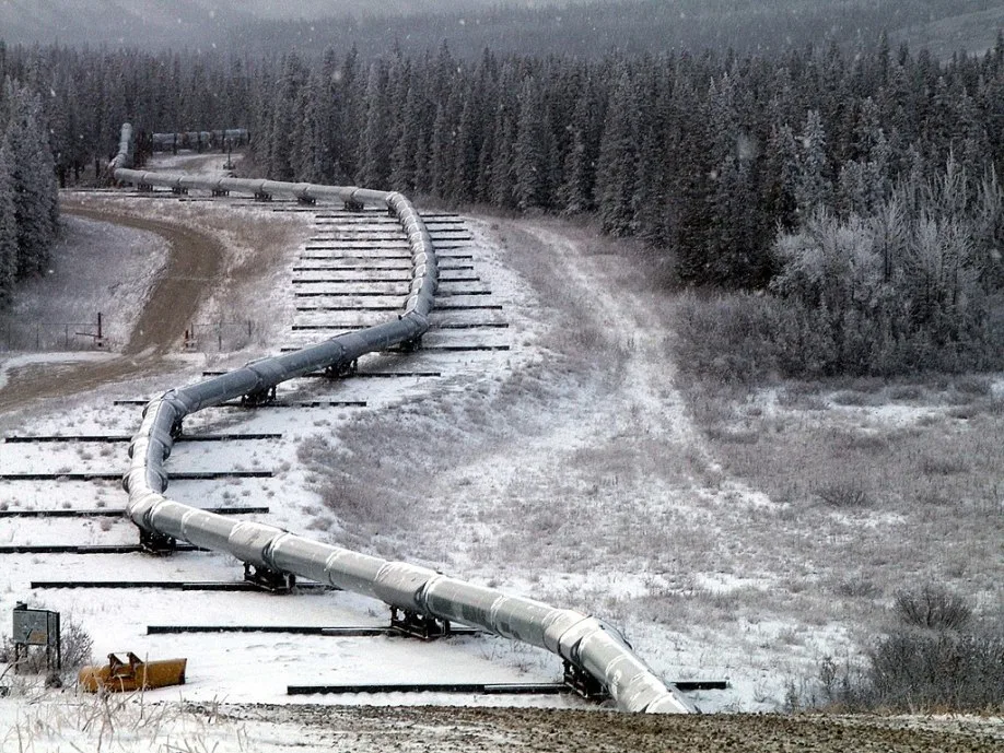
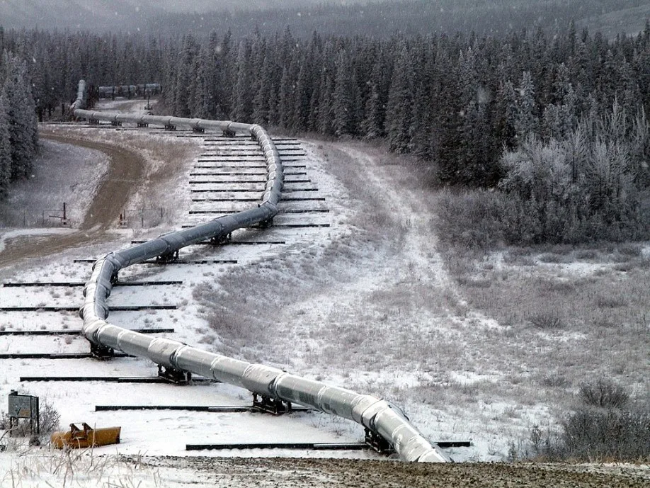
"View of Trans-Alaska Pipeline showing deliberate offsets in construction, to accommodate movement on the fault." Courtesy of Wikipedia
However, due to its occurrence as close as it was to the Nov. 3 event in date and location, this particular earthquake is regarded as a foreshock and was concluded to have likely been the catalyst that probably directly triggered the main shock.
Due to the remoteness of the epicentre, there were no fatalities and only a few injuries. The quake's depth was shallow enough for its shock to be registered as far away as Seattle, generating seiches or standing waves in enclosed or partially enclosed bodies of water as far away as Texas and New Orleans.
On today's podcast, Chris Mei talks about the Great Alaskan tremor, its intensity and why it was so powerful, as well as the resulting aftermath and the limited casualities it caused.
To learn more about the Great Alaskan Earthquake, listen to today's episode of "This Day In Weather History."
Subscribe to 'This Day in Weather History': Apple Podcasts | Amazon Alexa | Google Assistant | Spotify | Google Podcasts | iHeartRadio | Overcast'


