Unprecedented extreme red flag warning issued as California wildfires grow
The dry conditions with low humidity will persist through the rest of this week
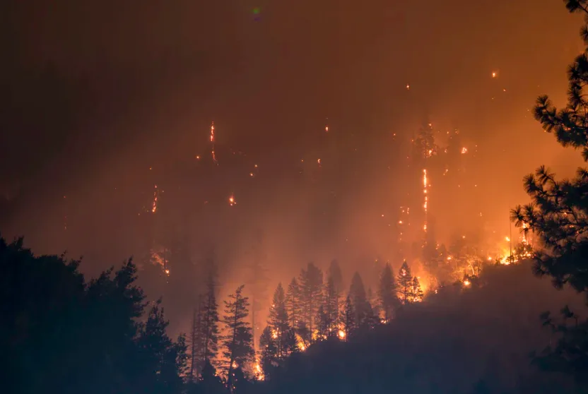
The raging wildfires in California have prompted the U.S. National Weather Service to create a new term to describe the severe conditions.
An extreme Red Flag Warning was issued by the Weather Service forecast office in Los Angeles for the first time to describe the heightened risk in the areas impacted by the wildfires.
As of Tuesday evening, approximately 21 million people are under fire weather alerts and this new warning states that conditions are dangerous for fire growth and behavior due to the combination of strong winds, very low humidity, long duration, and very dry fuels.
Weather Network meteorologist Tyler Hamilton says that the wind gusts in and around parts of Los Angeles County and Ventura County could reach up to 130 km/h with relative humidity as low as 1 per cent on Thursday, which will create unprecedented fire weather conditions.
WATCH BELOW: CALIFORNIA WILDFIRE EVACUEE HAS NEEDED CHAT WITH ANIMAL CONTROL OFFICER OVER DOORBELL CAM
Hamilton explains that this has the potential to be the strongest Santa Ana wind event in recent memory. The main concerns include rapid-fire starts and fire spread at an explosive pace. In conditions such as these, the wildfire can jump well ahead, creating new fires. High-intensity winds are likely to cause jumping or spotting as burning embers fly through the air.
Although the focus is on fire starts, power outages are likely to be widespread from strictly wind damage. To make matters worse, there is no rain in the forecast for the next two weeks.
These winds could dangerously interact with the Getty Fire, which has burned numerous homes and has caused thousands of residents to evacuate. Several celebrities were among the evacuees from the Getty fire, including LeBron James and Arnold Schwarzenegger.
Thumbnail image: Matt Howard (Unsplash)


