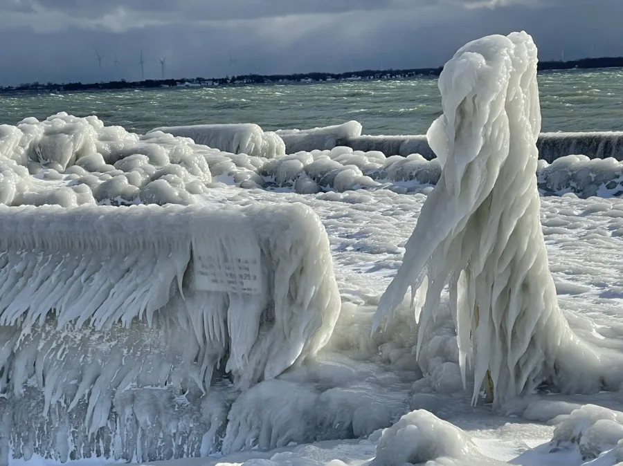
PHOTOS: Ontario digs out from powerful winter storm
An epic winter storm has been sweeping through much of Ontario since Thursday, disrupting travel across the province and leaving thousands without power.
On Thursday, a powerful winter storm moved into Ontario, bringing with it rain, snow, high winds, and freezing temperatures. The storm, caused by a surge of Arctic air clashing with warm, moist air over the Mississippi Valley, sparked a weather bomb over the Great Lakes, leading to this signficant event.
One concern early in this event was the potential for flash-freezing in parts of southern Ontario after much of the region saw rainfall on Thursday. The storm continued to move through the region on Friday, bringing with it a shot of Arctic air, snow, and high winds to create blizzard and whiteout conditions. Paired with the layer of ice caused by the earlier rain, this created very slippery and dangerous conditions for commuters and travellers.
Widespread road closures have occurred across the province. The Ontario Provincial Police are continuing to urge people to avoid any travel, as road conditions are still dangerous.
WATCH: Highway conditions were still impacted on Christmas Day
Air travel was also significantly affected, with major airlines such as WestJet cancelling all flights out of Toronto’s Pearson International Airport Friday.
Besides road closures and flight cancellations, more than 82,000 Hydro One customers in Ontario were without power at the height of the storm.
As well, states of emergency were declared in Ontario including in Fort Erie and Chatham-Kent as a result of the storm. In the former, flooding forced evacuations, and travellers and truck drivers were stranded near the Peace Bridge border crossing. Several crashes left hundreds of motorists stranded in Chatham-Kent.
Below are the impacts of this storm thus far as reported by Environment Canada and Climate Change (please note that this summary may contain preliminary or unofficial information and does not constitute a complete or final report).
24 hour snowfall totals as of 8 AM EST Saturday December 24th in cm with thanks to CoCoRaHS volunteer observations:
Thunder Bay: 32
Markdale: 29
Deep River: 15
Merrickville: 10.2
Sault Ste. Marie: 11
Kanata: 9.4
London: 8.9
Consecon: 8.4
Brighton: 8.1
Phelpston: 6.4
Aurora: 6.4
Toronto: 6.6
Leamington: 5.1
Total snowfall amounts as of 2:00 PM EST Saturday December 24th in cm:
Marathon: 35
Sault Ste. Marie: 34
Wawa: 32
Huntsville: 31
Cornwall: 25
Kapuskasing: 23
Picton: 20
Ottawa: 19
Wiarton: 12
Sudbury: 10
London: 10
Hamilton: 2
Toronto Pearson International Airport: 2
Please see below for a collection of photos and videos showing the impacts of this mammoth storm.
WATCH: Best to stay inside today as winter storm hammers Ontario
Thumbnail courtesy of Drew Peakock, taken in Toronto, Ont.


